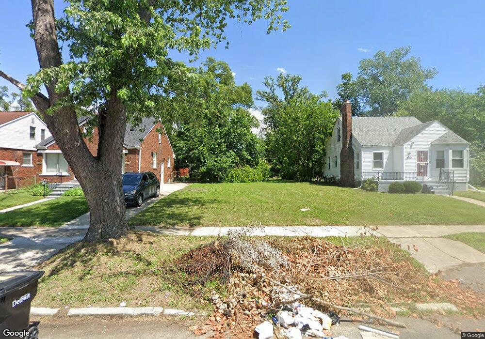
12906 Montrose St Detroit, MI 48227
Schoolcraft Southfield NeighborhoodEstimated Value: $82,000 - $84,000
3
Beds
1
Bath
1,050
Sq Ft
$79/Sq Ft
Est. Value
About This Home
This home is located at 12906 Montrose St, Detroit, MI 48227 and is currently estimated at $83,000, approximately $79 per square foot. 12906 Montrose St is a home located in Wayne County with nearby schools including Dossin Elementary-Middle School, Charles L. Spain Elementary-Middle School, and Edward 'Duke' Ellington Conservatory of Music and Art.
Ownership History
Date
Name
Owned For
Owner Type
Purchase Details
Closed on
Jul 23, 2025
Sold by
Detroit Land Bank Authority
Bought by
Cotton Taylor Brenaw
Current Estimated Value
Purchase Details
Closed on
Jan 6, 2015
Sold by
Wayne County Treasurer
Bought by
Detroit Land Bank Authority
Purchase Details
Closed on
Apr 20, 2009
Sold by
Secretary Of Housing & Urban Development
Bought by
Fox Roscoe
Purchase Details
Closed on
Oct 25, 2007
Sold by
National City Real Estate Services Llc
Bought by
Hud
Purchase Details
Closed on
Apr 18, 2007
Sold by
Austin Sarita and Austin Christopher F
Bought by
National City Real Estate Services Llc
Create a Home Valuation Report for This Property
The Home Valuation Report is an in-depth analysis detailing your home's value as well as a comparison with similar homes in the area
Home Values in the Area
Average Home Value in this Area
Purchase History
| Date | Buyer | Sale Price | Title Company |
|---|---|---|---|
| Cotton Taylor Brenaw | $250 | None Listed On Document | |
| Detroit Land Bank Authority | -- | None Available | |
| Fox Roscoe | $3,500 | None Available | |
| Hud | -- | None Available | |
| National City Real Estate Services Llc | $112,461 | None Available |
Source: Public Records
Tax History Compared to Growth
Tax History
| Year | Tax Paid | Tax Assessment Tax Assessment Total Assessment is a certain percentage of the fair market value that is determined by local assessors to be the total taxable value of land and additions on the property. | Land | Improvement |
|---|---|---|---|---|
| 2025 | -- | $0 | $0 | $0 |
| 2024 | -- | $0 | $0 | $0 |
| 2023 | $0 | $0 | $0 | $0 |
| 2022 | -- | $0 | $0 | $0 |
| 2021 | $0 | $0 | $0 | $0 |
| 2020 | $1,951 | $0 | $0 | $0 |
| 2019 | $1,951 | $0 | $0 | $0 |
| 2018 | $0 | $0 | $0 | $0 |
| 2017 | $620 | $0 | $0 | $0 |
| 2016 | $240 | $6,200 | $0 | $0 |
| 2015 | $620 | $6,200 | $0 | $0 |
| 2013 | $1,747 | $17,469 | $0 | $0 |
| 2010 | -- | $25,029 | $847 | $24,182 |
Source: Public Records
Map
Nearby Homes
- 12936 Winthrop St
- 13526 Montrose St
- 12945 Forrer St
- 13215 Prest St
- 13201 Prest St
- 13599 Winthrop St
- 13614 Montrose St
- 13914 Forrer St
- 13519 Mansfield St
- 13230 Whitcomb St
- 12904 Saint Marys St
- 13572 Saint Marys St
- 12842 Sussex St
- 13620 Saint Marys St
- 13995 Montrose St
- 13211 Whitcomb
- 13590 Mettetal St
- 14018 Prevost St
- 13501 Mettetal St
- 14010 Rutherford St
- 12896 Montrose St
- 12920 Montrose St
- 12930 Montrose St
- 12923 Winthrop St
- 12882 Montrose St
- 12907 Montrose St
- 12915 Montrose St Unit Bldg-Unit
- 12915 Montrose St
- 12936 Montrose St
- 12899 Montrose St
- 12903 Winthrop St
- 12915 Winthrop St
- 12891 Montrose St
- 12897 Winthrop St
- 12891 Winthrop St
- 12931 Montrose St
- 12946 Montrose St
- 12881 Montrose St
- 12929 Winthrop St
- 12881 Winthrop St