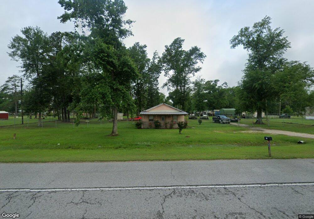
1291 Highway 27 Dequincy, LA 70633
Estimated Value: $120,000 - $265,000
--
Bed
1
Bath
--
Sq Ft
2,526
Sq Ft Lot
About This Home
This home is located at 1291 Highway 27, Dequincy, LA 70633 and is currently estimated at $172,003. 1291 Highway 27 is a home located in Calcasieu Parish with nearby schools including DeQuincy Primary School, DeQuincy Elementary School, and DeQuincy Middle School.
Ownership History
Date
Name
Owned For
Owner Type
Purchase Details
Closed on
Feb 20, 2020
Sold by
Foster Francis Paul and Foster Patricia Ann
Bought by
Langley Derrell Wade and Langley Shirley Jean
Current Estimated Value
Purchase Details
Closed on
Mar 1, 2011
Sold by
Bell Donnis Glynn
Bought by
Foster Francis Paul and Foster Patricia Ann
Home Financials for this Owner
Home Financials are based on the most recent Mortgage that was taken out on this home.
Original Mortgage
$72,572
Interest Rate
4.78%
Mortgage Type
Purchase Money Mortgage
Create a Home Valuation Report for This Property
The Home Valuation Report is an in-depth analysis detailing your home's value as well as a comparison with similar homes in the area
Home Values in the Area
Average Home Value in this Area
Purchase History
| Date | Buyer | Sale Price | Title Company |
|---|---|---|---|
| Langley Derrell Wade | $38,459 | None Available | |
| Foster Francis Paul | $65,000 | None Available |
Source: Public Records
Mortgage History
| Date | Status | Borrower | Loan Amount |
|---|---|---|---|
| Previous Owner | Foster Francis Paul | $72,572 |
Source: Public Records
Tax History Compared to Growth
Tax History
| Year | Tax Paid | Tax Assessment Tax Assessment Total Assessment is a certain percentage of the fair market value that is determined by local assessors to be the total taxable value of land and additions on the property. | Land | Improvement |
|---|---|---|---|---|
| 2024 | $424 | $3,760 | $1,590 | $2,170 |
| 2023 | $425 | $3,760 | $1,590 | $2,170 |
| 2022 | $422 | $3,760 | $1,590 | $2,170 |
| 2021 | $402 | $3,760 | $1,590 | $2,170 |
| 2020 | $402 | $3,480 | $1,530 | $1,950 |
| 2019 | $549 | $4,730 | $1,470 | $3,260 |
| 2018 | $561 | $4,730 | $1,470 | $3,260 |
| 2017 | $508 | $4,730 | $1,470 | $3,260 |
| 2016 | $544 | $4,730 | $1,470 | $3,260 |
| 2015 | $544 | $4,670 | $1,410 | $3,260 |
Source: Public Records
Map
Nearby Homes
- 1287 Louisiana 27
- 159 Coward Rd
- 159 Coward Rd Unit Rd
- 1233 Capella Dr
- 0 Hargrove Loop
- 0 Barrow Rd
- 0 Kelly St
- 1411 Hargrove Loop
- 711 N Division St
- 808 Oak St
- 114 Edgewood St
- 717 Oak St
- Tbd N Grand Ave
- 409 Fields Hwy
- 626 Beech St
- 1124 Coward Rd
- 206 Self St
- 0 Red Baggett Rd
- 600 N Overton St
- 1037 Temple Ln
- 1291 Highway 27
- 1291 Louisiana 27
- 1303 Highway 27
- 1303 Louisiana 27
- 1307 Mitchell Rd
- 1287 Highway 27
- 1292 Stephen St
- 1286 Stephen St
- 1304 Mitchell Rd
- 1323 Mitchell Rd
- 1277 Highway 27
- 1279 Stephen St
- 1275 Stephen St
- 1267 Highway 27
- 1267 Louisiana 27
- 1262 Stephen St
- 1269 Stephen St
- 0 Hwy 27 and Burton Rd Unit 2-5634
- 0 Hwy 27 and Burton Rd Unit SWL23001494
- 0 Hwy 27 and Burton Rd Rd Unit SWL23001510