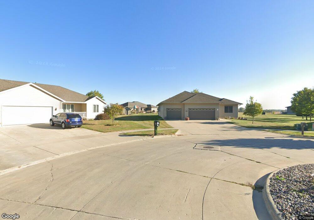
1291 Moonstone Ct Mason City, IA 50401
Estimated Value: $378,000 - $418,000
4
Beds
5
Baths
3,858
Sq Ft
$104/Sq Ft
Est. Value
About This Home
This home is located at 1291 Moonstone Ct, Mason City, IA 50401 and is currently estimated at $401,321, approximately $104 per square foot. 1291 Moonstone Ct is a home located in Cerro Gordo County with nearby schools including Mason City High School, North Iowa Christian School, and Mason City Seventh Day Adventi.
Ownership History
Date
Name
Owned For
Owner Type
Purchase Details
Closed on
Sep 21, 2005
Sold by
H & H Development Inc
Bought by
Thomazin Colin E and Thomazin Cheryl A
Current Estimated Value
Home Financials for this Owner
Home Financials are based on the most recent Mortgage that was taken out on this home.
Original Mortgage
$210,000
Interest Rate
6.54%
Mortgage Type
Credit Line Revolving
Purchase Details
Closed on
Apr 21, 2005
Sold by
H & H Development Inc
Bought by
Thomazin Colin E and Thomazin Cheryl A
Home Financials for this Owner
Home Financials are based on the most recent Mortgage that was taken out on this home.
Original Mortgage
$210,000
Interest Rate
6.54%
Mortgage Type
Construction
Create a Home Valuation Report for This Property
The Home Valuation Report is an in-depth analysis detailing your home's value as well as a comparison with similar homes in the area
Home Values in the Area
Average Home Value in this Area
Purchase History
| Date | Buyer | Sale Price | Title Company |
|---|---|---|---|
| Thomazin Colin E | $39,000 | None Available | |
| Thomazin Colin E | $39,000 | -- |
Source: Public Records
Mortgage History
| Date | Status | Borrower | Loan Amount |
|---|---|---|---|
| Previous Owner | Thomazin Colin E | $210,000 | |
| Previous Owner | Thomazin Colin E | $210,000 |
Source: Public Records
Tax History Compared to Growth
Tax History
| Year | Tax Paid | Tax Assessment Tax Assessment Total Assessment is a certain percentage of the fair market value that is determined by local assessors to be the total taxable value of land and additions on the property. | Land | Improvement |
|---|---|---|---|---|
| 2024 | $5,394 | $347,090 | $60,070 | $287,020 |
| 2023 | $5,500 | $347,090 | $60,070 | $287,020 |
| 2022 | $5,556 | $286,780 | $46,220 | $240,560 |
| 2021 | $5,388 | $278,950 | $46,220 | $232,730 |
| 2020 | $5,575 | $257,170 | $46,220 | $210,950 |
| 2019 | $4,888 | $0 | $0 | $0 |
| 2018 | $4,508 | $0 | $0 | $0 |
| 2017 | $4,620 | $0 | $0 | $0 |
| 2016 | $4,500 | $0 | $0 | $0 |
| 2015 | $4,500 | $0 | $0 | $0 |
| 2014 | $4,448 | $0 | $0 | $0 |
| 2013 | $4,276 | $0 | $0 | $0 |
Source: Public Records
Map
Nearby Homes
- 1424 Amber Ct
- 25 Slate Ct SE
- 843 12th St SE
- 616 S Indiana Ave
- 702 17th St SE Unit 2
- 706 15th St SE
- 677 14th St SE
- 907 7th St SE
- 508 S Ohio Ave Unit A201
- 1424 S Hampshire Ave
- 313 S Louisiana Ave
- 1453 3rd St SE
- 1437 3rd St SE
- 1973 S Carolina Ave
- 212 S Ohio Ave
- 706 6th Place SE
- 512 17th St SE
- 1311 S Massachusetts Ave
- 834 4th St SE
- 1077 Meadow Lake Dr
- 1288 Moonstone Ct
- 1283 Moonstone Ct
- 1521 Jade Ct
- 1280 Moonstone Ct
- 1275 Moonstone Ct
- 1518 Jade Ct
- 1674 S Illinois Ave
- 1272 Moonstone Ct
- 1706 S Illinois Ave
- 1267 Moonstone Ct
- 1517 Jade Ct
- 1253 Diamond Ct
- 1512 Jade Ct
- 1260 Moonstone Ct
- 1242 Diamond Ct
- 1241 Diamond Ct
- 1513 Jade Ct
- 1661 S Illinois Ave
- 1259 Moonstone Ct
- 1508 Jade Ct