12910 Berkhamsted St Cerritos, CA 90703
Estimated Value: $1,382,401 - $1,814,000
4
Beds
2
Baths
1,960
Sq Ft
$820/Sq Ft
Est. Value
About This Home
This home is located at 12910 Berkhamsted St, Cerritos, CA 90703 and is currently estimated at $1,607,600, approximately $820 per square foot. 12910 Berkhamsted St is a home located in Los Angeles County with nearby schools including Carver Elementary School, Tetzlaff (Martin B.) Middle School, and Cerritos High School.
Ownership History
Date
Name
Owned For
Owner Type
Purchase Details
Closed on
Jul 18, 2016
Sold by
Ming Pan Ku Le
Bought by
Pan Le Ming Ku and Le Ming Ku Pan Living Trust
Current Estimated Value
Purchase Details
Closed on
Jun 6, 1995
Sold by
Pan Hung Yih
Bought by
Ming Pan Ku Le
Home Financials for this Owner
Home Financials are based on the most recent Mortgage that was taken out on this home.
Original Mortgage
$233,100
Interest Rate
7.25%
Create a Home Valuation Report for This Property
The Home Valuation Report is an in-depth analysis detailing your home's value as well as a comparison with similar homes in the area
Home Values in the Area
Average Home Value in this Area
Purchase History
| Date | Buyer | Sale Price | Title Company |
|---|---|---|---|
| Pan Le Ming Ku | -- | None Available | |
| Ming Pan Ku Le | -- | United Title |
Source: Public Records
Mortgage History
| Date | Status | Borrower | Loan Amount |
|---|---|---|---|
| Previous Owner | Ming Pan Ku Le | $233,100 |
Source: Public Records
Tax History Compared to Growth
Tax History
| Year | Tax Paid | Tax Assessment Tax Assessment Total Assessment is a certain percentage of the fair market value that is determined by local assessors to be the total taxable value of land and additions on the property. | Land | Improvement |
|---|---|---|---|---|
| 2025 | $8,740 | $742,679 | $445,612 | $297,067 |
| 2024 | $8,740 | $728,118 | $436,875 | $291,243 |
| 2023 | $8,452 | $713,842 | $428,309 | $285,533 |
| 2022 | $8,323 | $699,846 | $419,911 | $279,935 |
| 2021 | $8,125 | $686,125 | $411,678 | $274,447 |
| 2019 | $7,937 | $665,775 | $399,468 | $266,307 |
| 2018 | $7,353 | $652,722 | $391,636 | $261,086 |
| 2016 | $7,061 | $627,378 | $376,429 | $250,949 |
| 2015 | $6,972 | $617,955 | $370,775 | $247,180 |
| 2014 | $6,831 | $605,852 | $363,513 | $242,339 |
Source: Public Records
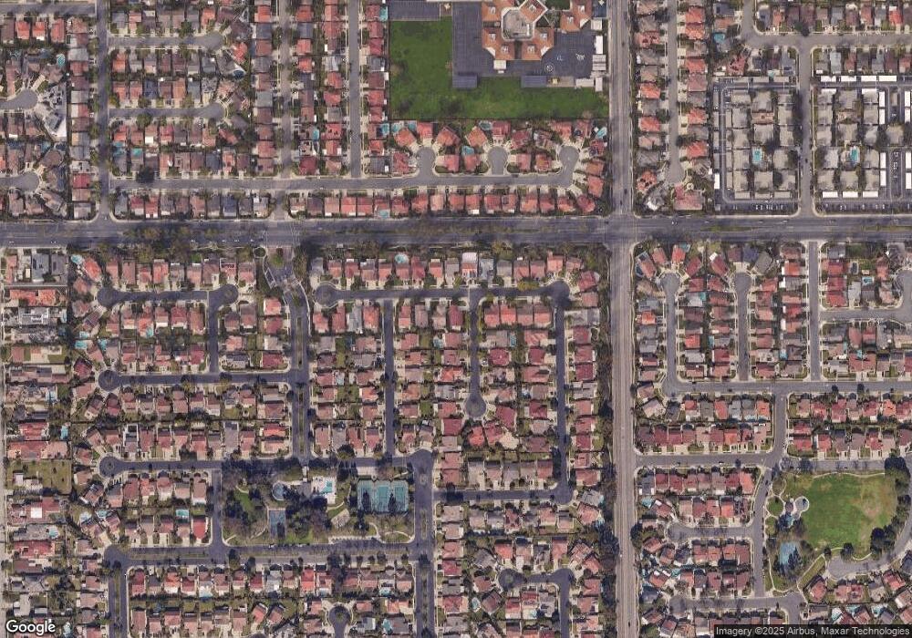
Map
Nearby Homes
- 19008 Jeffrey Ave
- 12711 Castleford Ln
- 19335 Derbyshire Ln
- 13044 Hedda Ln
- 12967 Moorshire Dr
- 19118 Martha Ave
- 7862 Squaw Valley Way
- 12361 Caravel Place
- 18006 Point Conception Place
- 19657 Sequoia Ave
- 13210 Sutton St
- 12360 Hedda Dr
- 18517 Betty Way
- 0 Parcel: 7016-014-017 Ave Unit PW25183248
- 12356 Reva St
- 12132 Cambrian Cir
- 12567 Semora St
- 12525 Semora St
- 12417 Rose St
- 13010 Artesia Blvd
- 12904 Berkhamsted St
- 19115 Holmbury Ave
- 12862 Berkhamsted St
- 12922 Berkhamsted St
- 19119 Holmbury Ave
- 19114 Holmbury Ave
- 12915 Berkhamsted St
- 12856 Berkhamsted St
- 12907 Berkhamsted St
- 12903 Berkhamsted St
- 19112 Chelsea Ave
- 12928 Berkhamsted St
- 19114 Chelsea Ave
- 19127 Holmbury Ave
- 19120 Holmbury Ave
- 12921 Berkhamsted St
- 12859 Berkhamsted St
- 12934 Berkhamsted St
- 12927 Berkhamsted St
- 12853 Berkhamsted St