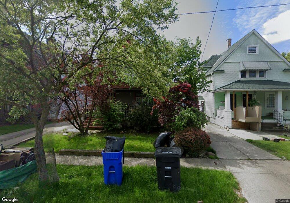
12910 Ferris Ave Cleveland, OH 44105
Corlett NeighborhoodEstimated Value: $77,000 - $151,000
3
Beds
1
Bath
1,405
Sq Ft
$69/Sq Ft
Est. Value
About This Home
This home is located at 12910 Ferris Ave, Cleveland, OH 44105 and is currently estimated at $97,159, approximately $69 per square foot. 12910 Ferris Ave is a home located in Cuyahoga County with nearby schools including Andrew J. Rickoff School, Adlai Stevenson School, and Anton Grdina School.
Ownership History
Date
Name
Owned For
Owner Type
Purchase Details
Closed on
Nov 10, 2000
Sold by
Marie Williams
Bought by
Dickson Sukwaneh
Current Estimated Value
Home Financials for this Owner
Home Financials are based on the most recent Mortgage that was taken out on this home.
Original Mortgage
$64,800
Outstanding Balance
$29,491
Interest Rate
11.25%
Estimated Equity
$67,668
Purchase Details
Closed on
Jul 11, 1979
Sold by
Howard Curtis and Mae J
Bought by
Williams Marie
Purchase Details
Closed on
Jan 1, 1975
Bought by
Howard Curtis and Howard Mae J
Create a Home Valuation Report for This Property
The Home Valuation Report is an in-depth analysis detailing your home's value as well as a comparison with similar homes in the area
Home Values in the Area
Average Home Value in this Area
Purchase History
| Date | Buyer | Sale Price | Title Company |
|---|---|---|---|
| Dickson Sukwaneh | $72,000 | Mountaineer Title Inc | |
| Williams Marie | $24,500 | -- | |
| Howard Curtis | -- | -- |
Source: Public Records
Mortgage History
| Date | Status | Borrower | Loan Amount |
|---|---|---|---|
| Open | Dickson Sukwaneh | $64,800 | |
| Closed | Dickson Sukwaneh | $7,200 |
Source: Public Records
Tax History Compared to Growth
Tax History
| Year | Tax Paid | Tax Assessment Tax Assessment Total Assessment is a certain percentage of the fair market value that is determined by local assessors to be the total taxable value of land and additions on the property. | Land | Improvement |
|---|---|---|---|---|
| 2024 | $1,482 | $22,610 | $4,550 | $18,060 |
| 2023 | $1,057 | $13,930 | $3,010 | $10,920 |
| 2022 | $1,051 | $13,930 | $3,010 | $10,920 |
| 2021 | $1,040 | $13,930 | $3,010 | $10,920 |
| 2020 | $1,037 | $12,010 | $2,590 | $9,420 |
| 2019 | $959 | $34,300 | $7,400 | $26,900 |
| 2018 | $928 | $12,010 | $2,590 | $9,420 |
| 2017 | $910 | $11,030 | $2,240 | $8,790 |
| 2016 | $903 | $11,030 | $2,240 | $8,790 |
| 2015 | $1,405 | $11,030 | $2,240 | $8,790 |
| 2014 | $1,405 | $12,990 | $2,630 | $10,360 |
Source: Public Records
Map
Nearby Homes
- 12822 Ferris Ave
- 13001 Ferris Ave
- 13217 Marston Ave
- 12503 Marston Ave
- 12810 Benwood Ave
- 13207 Crennell Ave
- 4526 E 131st St
- 13300 Benwood Ave
- 4157 E 123rd St
- 4239 E 128th St
- 12925 Watterson Ave
- 13302 Durkee Ave
- 13322 Caine Ave
- 3995 E 121st St
- 12506 Dove Ave
- 12309 Watterson Ave
- 4292 E 128th St
- 12700 Lenacrave Ave
- 4302 E 131st St
- 3950 E 121st St
- 12914 Ferris Ave
- 12908 Ferris Ave
- 12918 Ferris Ave
- 12918 Ferris Ave Unit DN
- 12918 Ferris Ave Unit 1
- 12904 Ferris Ave
- 12922 Ferris Ave
- 12913 Marston Ave
- 12905 Marston Ave
- 12913 Ferris Ave
- 12917 Marston Ave
- 12909 Ferris Ave
- 12905 Ferris Ave
- 12818 Ferris Ave
- 12901 Ferris Ave
- 12917 Ferris Ave
- 12821 Marston Ave
- 4076 E 131st St
- 12825 Ferris Ave
- 4098 E 131st St