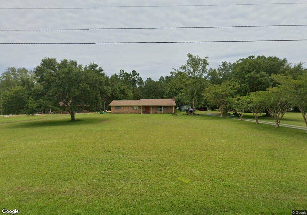
12913 McNeese Ln Moss Point, MS 39562
Estimated Value: $171,826 - $304,000
Studio
2
Baths
1,832
Sq Ft
$122/Sq Ft
Est. Value
About This Home
This home is located at 12913 McNeese Ln, Moss Point, MS 39562 and is currently estimated at $224,207, approximately $122 per square foot. 12913 McNeese Ln is a home located in Jackson County with nearby schools including East Central Lower Elementary School, East Central Upper Elementary School, and East Central Middle School.
Ownership History
Date
Name
Owned For
Owner Type
Purchase Details
Closed on
Dec 21, 2023
Sold by
Hogue Gail S
Bought by
Hogue Gail S and Hogue Gail S
Current Estimated Value
Purchase Details
Closed on
Sep 21, 2023
Sold by
Hogue Gail S
Bought by
Hogue Gail S and Hogue Jacob B
Purchase Details
Closed on
Nov 30, 2022
Sold by
Hogue Jacob B and Hogue Gail S
Bought by
Hogue Jacob B and Hogue Gail S
Create a Home Valuation Report for This Property
The Home Valuation Report is an in-depth analysis detailing your home's value as well as a comparison with similar homes in the area
Purchase History
| Date | Buyer | Sale Price | Title Company |
|---|---|---|---|
| Hogue Gail S | -- | None Listed On Document | |
| Hogue Gail S | -- | None Listed On Document | |
| Hogue Gail S | -- | None Listed On Document | |
| Hogue Jacob B | -- | None Listed On Document |
Source: Public Records
Tax History
| Year | Tax Paid | Tax Assessment Tax Assessment Total Assessment is a certain percentage of the fair market value that is determined by local assessors to be the total taxable value of land and additions on the property. | Land | Improvement |
|---|---|---|---|---|
| 2025 | $27 | $8,939 | $1,501 | $7,438 |
| 2024 | $27 | $8,618 | $1,461 | $7,157 |
| 2023 | $27 | $8,618 | $1,461 | $7,157 |
| 2022 | $26 | $7,724 | $0 | $0 |
| 2021 | $26 | $7,724 | $7,724 | $0 |
| 2020 | $27 | $7,724 | $803 | $6,921 |
| 2019 | $41 | $7,838 | $917 | $6,921 |
| 2018 | $42 | $7,843 | $921 | $6,922 |
| 2017 | $42 | $7,839 | $918 | $6,921 |
| 2016 | $39 | $7,830 | $909 | $6,921 |
| 2015 | -- | $72,700 | $8,680 | $64,020 |
| 2014 | $11 | $7,590 | $886 | $6,704 |
| 2013 | $9 | $7,582 | $878 | $6,704 |
Source: Public Records
Map
Nearby Homes
- 4432 Lily Patch Ln
- 13875 Wolf Ridge Rd Unit LotWP001
- 3601 Sandy Bayou Rd
- 13704 Coleman St
- 0 Perry St
- 3700 Dowlwood Rd
- 3724 Dowlwood Rd
- 6312 Bond Hill Rd
- 11213 Easley Rd
- 3016 Ed Parker Rd
- 10 Ac Donniebrook Ln
- 3225 Riverbend Rd
- 0 Donniebrook Ln
- 10401 Dawnridge Dr
- 0 Mississippi 613
- 6400 Hans Rd
- 5501 Wildwood Rd
- 13111 Maida Hurd Rd
- 9907 Cedarcliff Dr
- 10132 Graystone Dr
- 12909 McNeese Ln
- 12921 McNeese Ln
- 13202 Three Oaks Dr
- 13200 Three Oaks Dr
- 13204 Three Oaks Dr
- 13204 Three Oaks Dr
- 4504 Grass Ridge Rd
- 4404 Grass Ridge Rd
- 4500 Grass Ridge Rd
- 4400 Grass Ridge Rd
- 13015 McNeese Ln
- 12920 McNeese Ln
- 13216 Three Oaks Dr
- 4508 Grass Ridge Rd
- 13205 Three Oaks Dr
- 12900 McNeese Ln
- 12924 McNeese Ln
- 0003 Grass Ridge Rd
- 0002 Grass Ridge Rd
- 0 Grass Ridge Rd
Your Personal Tour Guide
Ask me questions while you tour the home.