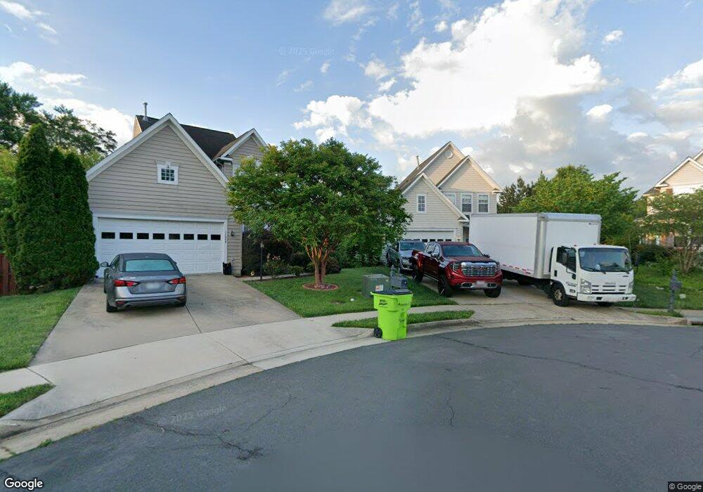
12913 Oarlock Ct Manassas, VA 20112
South Manassas NeighborhoodEstimated Value: $590,401 - $642,000
3
Beds
4
Baths
1,683
Sq Ft
$367/Sq Ft
Est. Value
About This Home
This home is located at 12913 Oarlock Ct, Manassas, VA 20112 and is currently estimated at $617,350, approximately $366 per square foot. 12913 Oarlock Ct is a home located in Prince William County with nearby schools including Charles J. Colgan Senior High School, Thurgood Marshall Elementary School, and Louise A. Benton Middle School.
Ownership History
Date
Name
Owned For
Owner Type
Purchase Details
Closed on
Oct 5, 2005
Sold by
Ridgedale Inc
Bought by
Asiedu Bernard and Asiedu Opokuah,Elizabeth
Current Estimated Value
Home Financials for this Owner
Home Financials are based on the most recent Mortgage that was taken out on this home.
Original Mortgage
$441,794
Outstanding Balance
$236,766
Interest Rate
5.78%
Mortgage Type
New Conventional
Estimated Equity
$380,584
Create a Home Valuation Report for This Property
The Home Valuation Report is an in-depth analysis detailing your home's value as well as a comparison with similar homes in the area
Home Values in the Area
Average Home Value in this Area
Purchase History
| Date | Buyer | Sale Price | Title Company |
|---|---|---|---|
| Asiedu Bernard | $490,883 | -- |
Source: Public Records
Mortgage History
| Date | Status | Borrower | Loan Amount |
|---|---|---|---|
| Open | Asiedu Bernard | $441,794 |
Source: Public Records
Tax History Compared to Growth
Tax History
| Year | Tax Paid | Tax Assessment Tax Assessment Total Assessment is a certain percentage of the fair market value that is determined by local assessors to be the total taxable value of land and additions on the property. | Land | Improvement |
|---|---|---|---|---|
| 2025 | $4,954 | $517,600 | $154,300 | $363,300 |
| 2024 | $4,954 | $498,100 | $149,800 | $348,300 |
| 2023 | $4,964 | $477,100 | $145,900 | $331,200 |
| 2022 | $4,848 | $437,700 | $125,700 | $312,000 |
| 2021 | $4,544 | $370,300 | $114,300 | $256,000 |
| 2020 | $5,730 | $369,700 | $114,300 | $255,400 |
| 2019 | $5,450 | $351,600 | $114,300 | $237,300 |
| 2018 | $4,202 | $348,000 | $114,300 | $233,700 |
| 2017 | $4,287 | $346,200 | $114,300 | $231,900 |
| 2016 | $4,065 | $331,000 | $108,800 | $222,200 |
| 2015 | $3,884 | $332,700 | $109,300 | $223,400 |
| 2014 | $3,884 | $309,200 | $101,100 | $208,100 |
Source: Public Records
Map
Nearby Homes
- 6233 Alistair Dr
- 6244 Oscar Ct
- 12849 Hoadly Manor Dr
- 13342 Pelican Rd
- 13380 Packard Dr
- 5660 Hoadly Rd
- 13217 Nickleson Dr
- 6016 Pepco Ct
- 5518 Victory Loop
- 13357 Pelican Rd
- 12704 Purcell Rd
- 13425 Princedale Dr
- 13528 Persian Ct
- 5876 Pontiac Dr
- 13454 Princedale Dr
- 5467 Quaint Dr
- 5202 Quince Ct
- 5156 Meeting Place
- 5154 Meeting Place
- 13780 Holly Forest Dr
- 12912 Oarlock Ct
- 12909 Oarlock Ct
- 6132 Hoadly Rd
- 6065 Omega Ln
- 12908 Oarlock Ct
- 6061 Omega Ln
- 6057 Omega Ln
- 6069 Omega Ln
- 12904 Oarlock Ct
- 12957 Terminal Way
- 12958 Terminal Way
- 6053 Omega Ln
- 12959 Terminal Way
- 12960 Terminal Way
- 12961 Terminal Way
- 6073 Omega Ln
- 12940 Tonka Ct
- 12849 Glen Forest Ct
- 12962 Terminal Way
- 12963 Terminal Way