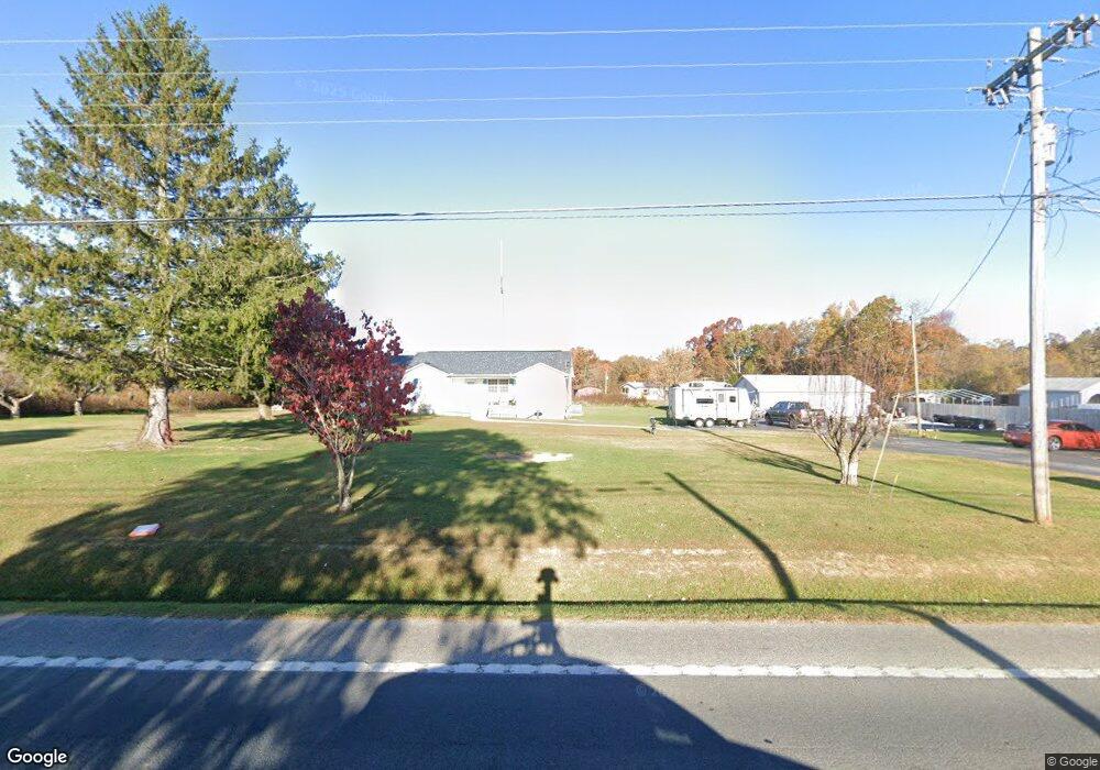
12917 Highway 127 N Crossville, TN 38571
Estimated Value: $252,000 - $372,000
3
Beds
2
Baths
1,800
Sq Ft
$173/Sq Ft
Est. Value
About This Home
This home is located at 12917 Highway 127 N, Crossville, TN 38571 and is currently estimated at $310,864, approximately $172 per square foot. 12917 Highway 127 N is a home located in Cumberland County with nearby schools including North Cumberland Elementary School and Stone Memorial High School.
Ownership History
Date
Name
Owned For
Owner Type
Purchase Details
Closed on
Oct 30, 2014
Sold by
Atkinson Wendell L
Bought by
Blunkall William and Blunkall Janice
Current Estimated Value
Home Financials for this Owner
Home Financials are based on the most recent Mortgage that was taken out on this home.
Original Mortgage
$38,235
Outstanding Balance
$29,317
Interest Rate
4.26%
Mortgage Type
New Conventional
Estimated Equity
$281,547
Purchase Details
Closed on
Feb 16, 1996
Sold by
Drye Duane
Bought by
Atkinson Wendell
Purchase Details
Closed on
Feb 7, 1996
Sold by
Drye Duane
Bought by
Drye Duane
Purchase Details
Closed on
Dec 1, 1995
Bought by
Drye Duane W and Drye Deborah B
Purchase Details
Closed on
Jul 10, 1992
Bought by
Trussell William T % Suntrust Mortg Inc
Create a Home Valuation Report for This Property
The Home Valuation Report is an in-depth analysis detailing your home's value as well as a comparison with similar homes in the area
Home Values in the Area
Average Home Value in this Area
Purchase History
| Date | Buyer | Sale Price | Title Company |
|---|---|---|---|
| Blunkall William | $135,000 | -- | |
| Atkinson Wendell | $43,500 | -- | |
| Drye Duane | $40,000 | -- | |
| Drye Duane W | $40,000 | -- | |
| Trussell William T % Suntrust Mortg Inc | $40,000 | -- |
Source: Public Records
Mortgage History
| Date | Status | Borrower | Loan Amount |
|---|---|---|---|
| Open | Blunkall William | $38,235 |
Source: Public Records
Tax History Compared to Growth
Tax History
| Year | Tax Paid | Tax Assessment Tax Assessment Total Assessment is a certain percentage of the fair market value that is determined by local assessors to be the total taxable value of land and additions on the property. | Land | Improvement |
|---|---|---|---|---|
| 2025 | $539 | $47,500 | $2,500 | $45,000 |
| 2024 | $539 | $47,500 | $2,500 | $45,000 |
| 2023 | $93 | $47,500 | $0 | $0 |
| 2022 | $93 | $8,225 | $2,500 | $5,725 |
| 2021 | $267 | $24,225 | $2,125 | $22,100 |
| 2020 | $379 | $24,225 | $2,125 | $22,100 |
| 2019 | $379 | $24,225 | $2,125 | $22,100 |
| 2018 | $379 | $24,225 | $2,125 | $22,100 |
| 2017 | $391 | $24,225 | $2,125 | $22,100 |
| 2016 | $371 | $24,300 | $1,750 | $22,550 |
| 2015 | $364 | $24,300 | $1,750 | $22,550 |
| 2014 | $364 | $24,288 | $0 | $0 |
Source: Public Records
Map
Nearby Homes
- 279 Catoosa Ridge Dr
- 0 Hollow Lane - 35 Acres
- 410 Old Elmore Rd
- 21 Bluff View Loop
- 127 Bluff View Loop
- 145 Windswept Dr
- 60 Greenview Ln
- 0 Ashmor Dr
- 140 Colby Cir
- 257 Colby Cir
- 850 Colby Cir
- 307 Colby Cir
- 815 Colby Cir
- 0 Hollow Ln
- 1052 Catoosa Ridge Dr
- 11229 Highway 127 N
- 0 Hwy 127 N Unit RTC2636228
- 405 Smith Rd
- 549 Smith Rd
- 401 Smith Rd
- 12933 Highway 127 N
- 200 Hinch Mountain Rd
- 200 Hinch Mountain Rd Unit 200ac
- 10350 127
- 12745 Highway 127 N
- 13050 Highway 127 N
- 13057 Highway 127 N
- 10350 Hwy 127 N
- 247 Hinds Rd
- 13091 Highway 127 N
- 10350 N 127 Hwy
- 137 Hinds Rd
- 13113 Highway 127 N
- 12688 Highway 127 N
- 113 Hinds Rd
- 71 Beasley Ln
- 72 Bear Creek Rd
- 0 Beasley Ln
- 27 Bear Creek Rd
- 13159 Highway 127 N