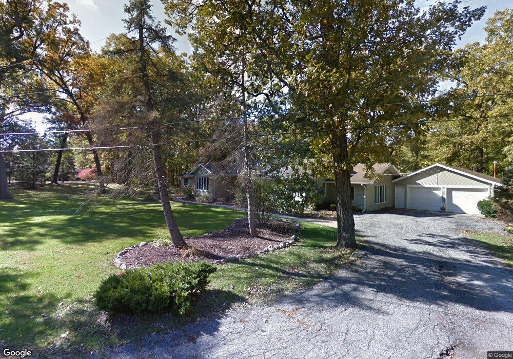
12918 Taney St Crown Point, IN 46307
Estimated Value: $574,000 - $703,000
5
Beds
3
Baths
2,974
Sq Ft
$216/Sq Ft
Est. Value
About This Home
This home is located at 12918 Taney St, Crown Point, IN 46307 and is currently estimated at $642,453, approximately $216 per square foot. 12918 Taney St is a home located in Lake County with nearby schools including Lake Street Elementary School, Robert Taft Middle School, and Crown Point High School.
Ownership History
Date
Name
Owned For
Owner Type
Purchase Details
Closed on
Oct 17, 2012
Sold by
Flanery Michael J
Bought by
Flanery Michael J and Flanery Jane M
Current Estimated Value
Home Financials for this Owner
Home Financials are based on the most recent Mortgage that was taken out on this home.
Original Mortgage
$171,800
Outstanding Balance
$118,966
Interest Rate
3.51%
Mortgage Type
New Conventional
Estimated Equity
$523,487
Create a Home Valuation Report for This Property
The Home Valuation Report is an in-depth analysis detailing your home's value as well as a comparison with similar homes in the area
Home Values in the Area
Average Home Value in this Area
Purchase History
| Date | Buyer | Sale Price | Title Company |
|---|---|---|---|
| Flanery Michael J | -- | Chicago Title Ins Co |
Source: Public Records
Mortgage History
| Date | Status | Borrower | Loan Amount |
|---|---|---|---|
| Open | Flanery Michael J | $171,800 |
Source: Public Records
Tax History Compared to Growth
Tax History
| Year | Tax Paid | Tax Assessment Tax Assessment Total Assessment is a certain percentage of the fair market value that is determined by local assessors to be the total taxable value of land and additions on the property. | Land | Improvement |
|---|---|---|---|---|
| 2024 | $7,508 | $373,800 | $68,800 | $305,000 |
| 2023 | $3,457 | $353,300 | $68,800 | $284,500 |
| 2022 | $3,674 | $343,200 | $68,800 | $274,400 |
| 2021 | $3,197 | $317,300 | $67,400 | $249,900 |
| 2020 | $3,282 | $309,700 | $67,400 | $242,300 |
| 2019 | $3,277 | $304,700 | $67,400 | $237,300 |
| 2018 | $3,319 | $293,300 | $67,400 | $225,900 |
| 2017 | $3,393 | $295,800 | $67,400 | $228,400 |
| 2016 | $3,466 | $299,600 | $67,400 | $232,200 |
| 2014 | $3,216 | $294,400 | $67,400 | $227,000 |
| 2013 | $3,140 | $288,300 | $67,400 | $220,900 |
Source: Public Records
Map
Nearby Homes
- 2725 W 127th Ln
- 283 Nomo Place
- 253 Nomo Place
- 1540 Brackenbury Ln
- 11498 Hancock Dr
- The Ganby Plan at Sawgrass
- The Monarch Plan at Sawgrass
- The Keystone Plan at Sawgrass
- The Breckenridge Plan at Sawgrass
- 2439 W 127th Ave
- 13085 Taft St
- 13111 Taft St
- 248 Sawgrass Dr
- 246 Sawgrass Dr
- 244 Sawgrass Dr
- 1079 Kleven Ln
- 1575 S Feather Rock Dr
- 12201 Cedar Lake Rd
- 12715 Cedar Lake Rd
- 3721 W 133rd Ave
- 12919 Taney St
- 12988 Taney St
- 12908 Taney St
- 2818 W 130th Ave
- 12909 Taney St
- 12913 Chase St
- 12989 Chase St
- 2913 W 130th Ave
- 3011 W 130th Ave
- 12911 Chase St
- 12832 Marshall St
- 13005 Chase St
- 2808 W 130th Ave
- 12826 Marshall St
- 13021 Taney Place
- 3105 W 130th Ave
- 1972 Louis Dr
- 1962 Louis Dr
- 1952 Louis Dr
- 2809 W 130th Ave