Estimated Value: $305,434 - $365,000
3
Beds
3
Baths
1,485
Sq Ft
$227/Sq Ft
Est. Value
About This Home
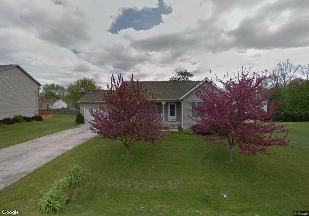
This home is located at 1292 Patricia Ln, Heath, OH 43056 and is currently estimated at $336,609, approximately $226 per square foot. 1292 Patricia Ln is a home located in Licking County with nearby schools including Garfield Elementary School, Stevenson Elementary School, and Heath Middle School.
Ownership History
Date
Name
Owned For
Owner Type
Purchase Details
Closed on
Jul 14, 2010
Sold by
Coleman George A and Coleman Barry D
Bought by
Ward Crystal J
Current Estimated Value
Home Financials for this Owner
Home Financials are based on the most recent Mortgage that was taken out on this home.
Original Mortgage
$140,593
Outstanding Balance
$93,566
Interest Rate
4.75%
Mortgage Type
FHA
Estimated Equity
$243,043
Purchase Details
Closed on
Sep 23, 2009
Sold by
Coleman Max A and Coleman Eleanor C
Bought by
Coleman George A and Coleman Barry D
Purchase Details
Closed on
Sep 15, 1999
Sold by
Frye Franklin V
Bought by
Coleman Max A and Coleman Eleanor C
Purchase Details
Closed on
Apr 5, 1999
Sold by
Frye Franklin V
Bought by
Frye Franklin and Frye Phyllis
Home Financials for this Owner
Home Financials are based on the most recent Mortgage that was taken out on this home.
Original Mortgage
$105,000
Interest Rate
6.89%
Mortgage Type
New Conventional
Create a Home Valuation Report for This Property
The Home Valuation Report is an in-depth analysis detailing your home's value as well as a comparison with similar homes in the area
Home Values in the Area
Average Home Value in this Area
Purchase History
| Date | Buyer | Sale Price | Title Company |
|---|---|---|---|
| Ward Crystal J | $155,000 | Prosperity | |
| Coleman George A | -- | Attorney | |
| Coleman Max A | $136,000 | -- | |
| Frye Franklin | $26,000 | -- |
Source: Public Records
Mortgage History
| Date | Status | Borrower | Loan Amount |
|---|---|---|---|
| Open | Ward Crystal J | $140,593 | |
| Previous Owner | Frye Franklin | $105,000 |
Source: Public Records
Tax History Compared to Growth
Tax History
| Year | Tax Paid | Tax Assessment Tax Assessment Total Assessment is a certain percentage of the fair market value that is determined by local assessors to be the total taxable value of land and additions on the property. | Land | Improvement |
|---|---|---|---|---|
| 2024 | $3,407 | $79,180 | $20,620 | $58,560 |
| 2023 | $3,770 | $79,180 | $20,620 | $58,560 |
| 2022 | $3,351 | $61,850 | $14,490 | $47,360 |
| 2021 | $3,419 | $61,850 | $14,490 | $47,360 |
| 2020 | $3,441 | $61,850 | $14,490 | $47,360 |
| 2019 | $2,986 | $54,640 | $11,590 | $43,050 |
| 2018 | $3,018 | $0 | $0 | $0 |
| 2017 | $2,947 | $0 | $0 | $0 |
| 2016 | $2,829 | $0 | $0 | $0 |
| 2015 | $2,877 | $0 | $0 | $0 |
| 2014 | $4,047 | $0 | $0 | $0 |
| 2013 | $2,654 | $0 | $0 | $0 |
Source: Public Records
Map
Nearby Homes
- 71 Barb Ave
- 80 Barb Ave
- 79 James Ave
- 152 Irving Wick Dr E Unit 13
- 111 Barb Ave
- 95 Jonathan Dr
- 944 Fieldson Dr
- 878 Oberlin Dr
- 381 Laurel Oaks Ln
- 489 Heath Rd
- 399 Laurel Oaks Ln Unit Lot 131
- 403 Laurel Oaks Ln Unit Lot 132
- 965 Nadine Dr
- 171 Cynthia St
- 536 Partridge Rd
- 521 Partridge Rd
- 1055 Weiant Ave
- 1100 Thornwood Dr Unit Lot 1005
- 1100 Thornwood Dr SW Unit 1018
- 1100 Thornwood Dr SW Unit Lot 65