1292 Rolling Oaks Ln NW Hutchinson, MN 55350
Estimated Value: $243,315 - $270,000
2
Beds
2
Baths
1,217
Sq Ft
$213/Sq Ft
Est. Value
About This Home
This home is located at 1292 Rolling Oaks Ln NW, Hutchinson, MN 55350 and is currently estimated at $259,579, approximately $213 per square foot. 1292 Rolling Oaks Ln NW is a home located in McLeod County with nearby schools including Hutchinson West Elementary School, Hutchinson Park Elementary School, and Hutchinson Middle School.
Ownership History
Date
Name
Owned For
Owner Type
Purchase Details
Closed on
May 30, 2018
Sold by
Jensen Lori Lori
Bought by
Corson Jill Jill
Current Estimated Value
Home Financials for this Owner
Home Financials are based on the most recent Mortgage that was taken out on this home.
Original Mortgage
$129,200
Outstanding Balance
$111,484
Interest Rate
4.4%
Mortgage Type
New Conventional
Estimated Equity
$148,095
Create a Home Valuation Report for This Property
The Home Valuation Report is an in-depth analysis detailing your home's value as well as a comparison with similar homes in the area
Home Values in the Area
Average Home Value in this Area
Purchase History
| Date | Buyer | Sale Price | Title Company |
|---|---|---|---|
| Corson Jill Jill | $161,500 | -- | |
| Corson Jill M | $161,500 | Title Mark Llc |
Source: Public Records
Mortgage History
| Date | Status | Borrower | Loan Amount |
|---|---|---|---|
| Open | Corson Jill M | $129,200 | |
| Closed | Corson Jill Jill | $129,200 |
Source: Public Records
Tax History Compared to Growth
Tax History
| Year | Tax Paid | Tax Assessment Tax Assessment Total Assessment is a certain percentage of the fair market value that is determined by local assessors to be the total taxable value of land and additions on the property. | Land | Improvement |
|---|---|---|---|---|
| 2024 | $2,686 | $210,400 | $21,500 | $188,900 |
| 2023 | $2,846 | $213,700 | $21,500 | $192,200 |
| 2022 | $2,438 | $202,700 | $20,500 | $182,200 |
| 2021 | $2,254 | $164,800 | $17,800 | $147,000 |
| 2020 | $2,070 | $148,100 | $16,200 | $131,900 |
| 2019 | $1,878 | $135,400 | $16,200 | $119,200 |
| 2018 | $1,754 | $0 | $0 | $0 |
| 2017 | $1,630 | $0 | $0 | $0 |
| 2016 | $1,516 | $0 | $0 | $0 |
| 2015 | $1,366 | $0 | $0 | $0 |
| 2014 | -- | $0 | $0 | $0 |
Source: Public Records
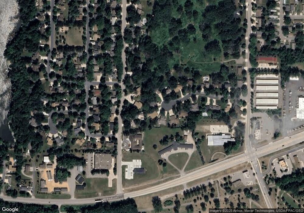
Map
Nearby Homes
- 490 California St NW
- 1137 Fairway Ave NW
- XXX Golf Course Rd NW
- 1020 Roberts Rd SW
- 966 Osgood Ave SW
- 537 Graham St SW
- 415 Fischer St SW
- 555 Hidden Cir SW
- 660 Lakewood Dr SW
- XXX 196th Rd
- 525 Golf Course Rd NW
- 1042 8th Ave SW
- 702 Southview Ct SW
- 530 Lincoln Ave SW
- 545 4th Ave SW
- 642 Juul Rd SW
- 20790 196th Rd
- 735 Sunset St SW
- 1379 Heritage Ave NW
- 724 Southview Dr SW
- 1292 Rolling Oaks Ln NW
- 1290 Rolling Oaks Ln NW
- 1290 Rolling Oaks Ln NW
- 1288 Rolling Oaks Ln NW
- 347 Shady Ridge Rd NW
- 347 347 Shady Ridge-Road-nw
- 1275 Rolling Oaks Ln NW
- 345 Shady Ridge Rd NW
- 345 345 Shady Ridge-Road-nw
- 345 345 Shady Ridge Rd NW
- 1282 Rolling Oaks Ln NW
- 355 Shady Ridge Rd NW
- 1280 Rolling Oaks Ln NW
- 257 Shady Ridge Rd NW
- 257 257 Shady Ridge-Road-nw
- 357 Shady Ridge Rd NW
- 1265 Rolling Oaks Ln NW
- 1272 Rolling Oaks Ln NW
- 1270 Rolling Oaks Ln NW
- 1270 1270 Rolling Oaks Ln NW