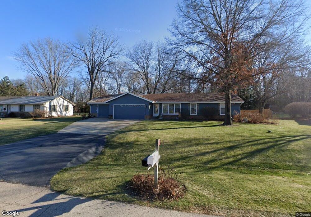
12923 Duncan Ln Rockton, IL 61072
Estimated Value: $242,494 - $253,000
3
Beds
2
Baths
1,332
Sq Ft
$187/Sq Ft
Est. Value
About This Home
This home is located at 12923 Duncan Ln, Rockton, IL 61072 and is currently estimated at $248,874, approximately $186 per square foot. 12923 Duncan Ln is a home located in Winnebago County with nearby schools including Rockton Elementary School, Whitman Post Elementary School, and Stephen Mack Middle School.
Ownership History
Date
Name
Owned For
Owner Type
Purchase Details
Closed on
Jun 30, 2016
Sold by
Kitto Monica L Trust 2006
Bought by
Rodgers William H and Rodgers Patricia
Current Estimated Value
Home Financials for this Owner
Home Financials are based on the most recent Mortgage that was taken out on this home.
Original Mortgage
$108,400
Outstanding Balance
$87,007
Interest Rate
3.75%
Mortgage Type
New Conventional
Estimated Equity
$161,867
Create a Home Valuation Report for This Property
The Home Valuation Report is an in-depth analysis detailing your home's value as well as a comparison with similar homes in the area
Home Values in the Area
Average Home Value in this Area
Purchase History
| Date | Buyer | Sale Price | Title Company |
|---|---|---|---|
| Rodgers William H | $133,000 | Nlt |
Source: Public Records
Mortgage History
| Date | Status | Borrower | Loan Amount |
|---|---|---|---|
| Open | Rodgers William H | $108,400 |
Source: Public Records
Tax History Compared to Growth
Tax History
| Year | Tax Paid | Tax Assessment Tax Assessment Total Assessment is a certain percentage of the fair market value that is determined by local assessors to be the total taxable value of land and additions on the property. | Land | Improvement |
|---|---|---|---|---|
| 2024 | $3,728 | $60,302 | $12,297 | $48,005 |
| 2023 | $3,495 | $53,769 | $10,965 | $42,804 |
| 2022 | $3,272 | $49,122 | $10,017 | $39,105 |
| 2021 | $3,067 | $45,969 | $9,374 | $36,595 |
| 2020 | $2,952 | $44,509 | $9,076 | $35,433 |
| 2019 | $2,874 | $42,344 | $8,743 | $33,601 |
| 2018 | $3,096 | $44,571 | $8,946 | $35,625 |
| 2017 | $2,980 | $42,721 | $8,575 | $34,146 |
| 2016 | $2,810 | $40,827 | $8,294 | $32,533 |
| 2015 | $1,382 | $39,893 | $8,104 | $31,789 |
| 2014 | $3,532 | $43,736 | $8,105 | $35,631 |
Source: Public Records
Map
Nearby Homes
- 367 Timothy Turn
- 1531 Torch Pine Dr
- 144 Bristlewood Ct
- 12954 Portsmough Ln
- 4227 Berkshire Way
- 4205 Glenmore Rd
- 706 Pin Oak Rd
- 328 Harwich Place
- 141 E River St
- 328 E Union St
- 11847 River Hills Pkwy
- 202 N Bridge St
- 117 Strawbridge Dr
- 14069 Hanna Way
- 634 Cassandra Way
- 226 S Blackhawk Blvd
- 14126 Kirane Ct
- 614 Bayfield Rd
- 12901 Duncan Ln
- 12945 Duncan Ln
- 531 Owen Trail
- 12934 Duncan Ln
- 12965 Duncan Ln
- 12875 Duncan Ln
- 12958 Duncan Ln
- 563 Owen Trail
- 12995 Duncan Ln
- 491 Hononegah Rd
- 12930 Echo Dr
- 12902 Echo Dr
- 540 Owen Trail
- 12986 Duncan Ln
- 12960 Echo Dr
- 12967 Randall Ct
- 564 Owen Trail
- 311 Duncan Ln
- 595 Owen Trail
- 12866 Echo Dr