12930 Slopertown Rd Davenport, IA 52806
Outer Davenport/Bettendorf NeighborhoodEstimated Value: $350,000 - $612,997
5
Beds
4
Baths
2,922
Sq Ft
$180/Sq Ft
Est. Value
About This Home
This home is located at 12930 Slopertown Rd, Davenport, IA 52806 and is currently estimated at $526,999, approximately $180 per square foot. 12930 Slopertown Rd is a home located in Scott County with nearby schools including John Glenn Elementary School, North Scott Junior High School, and North Scott Senior High School.
Ownership History
Date
Name
Owned For
Owner Type
Purchase Details
Closed on
Feb 5, 2025
Sold by
Kruse Mark A and Kruse Lynnette A
Bought by
Mark A Kruse Trust and Lynnette A Kruse Trust
Current Estimated Value
Purchase Details
Closed on
Jul 15, 2021
Sold by
Qc Cabinetry Plus Llc
Bought by
Dibs Llc
Create a Home Valuation Report for This Property
The Home Valuation Report is an in-depth analysis detailing your home's value as well as a comparison with similar homes in the area
Home Values in the Area
Average Home Value in this Area
Purchase History
| Date | Buyer | Sale Price | Title Company |
|---|---|---|---|
| Mark A Kruse Trust | -- | None Listed On Document | |
| Dibs Llc | -- | None Available |
Source: Public Records
Tax History Compared to Growth
Tax History
| Year | Tax Paid | Tax Assessment Tax Assessment Total Assessment is a certain percentage of the fair market value that is determined by local assessors to be the total taxable value of land and additions on the property. | Land | Improvement |
|---|---|---|---|---|
| 2025 | $5,830 | $563,000 | $166,400 | $396,600 |
| 2024 | $5,016 | $552,500 | $166,400 | $386,100 |
| 2023 | $4,472 | $483,800 | $166,400 | $317,400 |
| 2022 | $4,434 | $370,400 | $67,500 | $302,900 |
| 2021 | $4,434 | $370,400 | $67,500 | $302,900 |
| 2020 | $4,372 | $346,310 | $67,500 | $278,810 |
| 2019 | $4,570 | $346,310 | $67,500 | $278,810 |
| 2018 | $4,698 | $346,310 | $67,500 | $278,810 |
| 2017 | $4,384 | $346,310 | $67,500 | $278,810 |
| 2016 | $4,290 | $313,980 | $0 | $0 |
| 2015 | $4,290 | $313,980 | $0 | $0 |
| 2014 | $4,364 | $282,260 | $0 | $0 |
| 2013 | $3,844 | $0 | $0 | $0 |
| 2012 | -- | $282,420 | $67,500 | $214,920 |
Source: Public Records
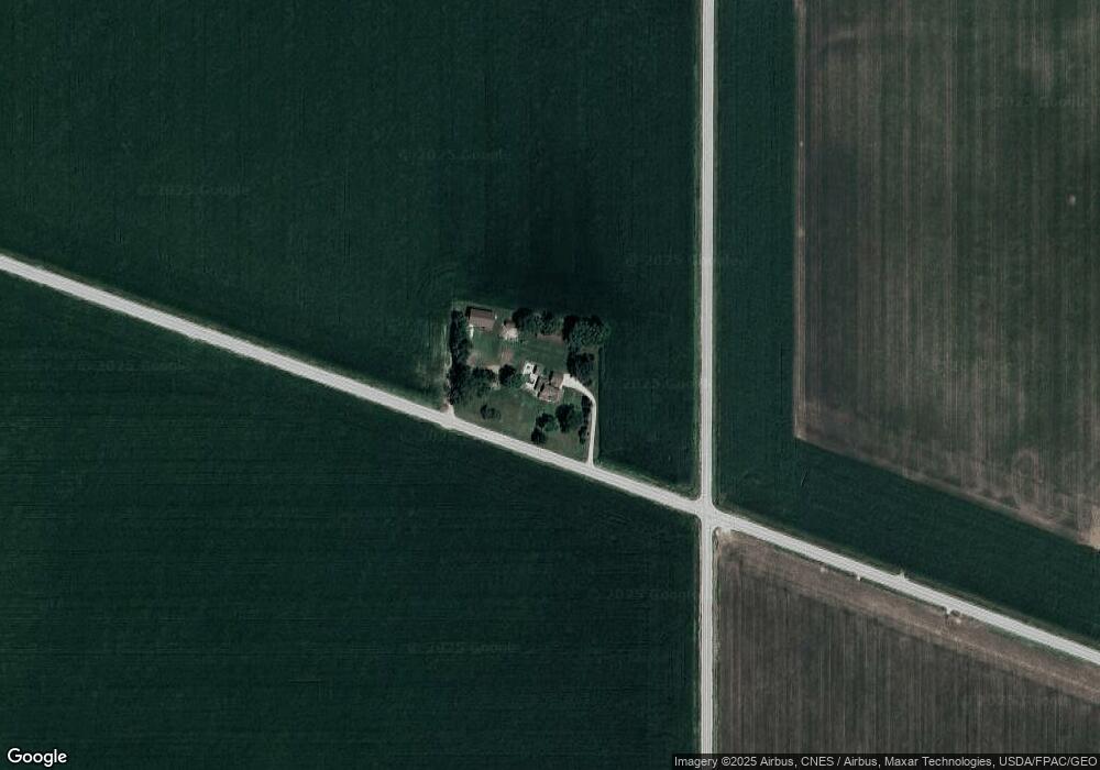
Map
Nearby Homes
- 2024 Slopertown Rd
- 00 Buttermilk Rd
- Lot 55 Franklin
- 000 W 73rd St
- 3006 W 71st St
- 7402 N Pine St
- 800 S 8th St
- Lot 28 Linden Ln
- 1719 5th St
- 1719 S 5th St
- 2611 W 69th St
- Lot 22 S 5th St
- 1704 Redbud Cir Unit 102
- 1704 Redbud Cir Unit 103
- 1704 Redbud Cir Unit 101
- 1832 Redbud Cir
- 1867 Redbud Cir Unit 102
- 1867 Redbud Cir Unit 103
- 1875 Redbud Cir Unit 101
- 1875 Redbud Cir Unit 103