12935 SW 57th St Topeka, KS 66610
Estimated Value: $735,556 - $762,000
3
Beds
3
Baths
2,772
Sq Ft
$271/Sq Ft
Est. Value
About This Home
This home is located at 12935 SW 57th St, Topeka, KS 66610 and is currently estimated at $750,185, approximately $270 per square foot. 12935 SW 57th St is a home located in Shawnee County with nearby schools including Mission Valley Elementary/Junior High School and Mission Valley Junior/Senior High School.
Ownership History
Date
Name
Owned For
Owner Type
Purchase Details
Closed on
Oct 14, 2009
Sold by
Dover 2000 Llc
Bought by
Browning Michael P and Browning Sarah R
Current Estimated Value
Home Financials for this Owner
Home Financials are based on the most recent Mortgage that was taken out on this home.
Original Mortgage
$265,821
Outstanding Balance
$173,049
Interest Rate
5.1%
Mortgage Type
FHA
Estimated Equity
$577,136
Purchase Details
Closed on
Jul 16, 2008
Sold by
Dover 2000 Llc
Bought by
Fruits Kent L
Create a Home Valuation Report for This Property
The Home Valuation Report is an in-depth analysis detailing your home's value as well as a comparison with similar homes in the area
Home Values in the Area
Average Home Value in this Area
Purchase History
| Date | Buyer | Sale Price | Title Company |
|---|---|---|---|
| Browning Michael P | -- | Capital Title Insurance Comp | |
| Fruits Kent L | -- | Kansas Secured Title |
Source: Public Records
Mortgage History
| Date | Status | Borrower | Loan Amount |
|---|---|---|---|
| Open | Browning Michael P | $265,821 |
Source: Public Records
Tax History Compared to Growth
Tax History
| Year | Tax Paid | Tax Assessment Tax Assessment Total Assessment is a certain percentage of the fair market value that is determined by local assessors to be the total taxable value of land and additions on the property. | Land | Improvement |
|---|---|---|---|---|
| 2025 | $11,283 | $80,819 | -- | -- |
| 2023 | $11,283 | $44,332 | $0 | $0 |
| 2022 | $6,018 | $41,769 | $0 | $0 |
| 2021 | $5,040 | $34,703 | $0 | $0 |
| 2020 | $4,620 | $33,051 | $0 | $0 |
| 2019 | $4,554 | $32,583 | $0 | $0 |
| 2018 | $4,446 | $31,634 | $0 | $0 |
| 2017 | $4,439 | $31,015 | $0 | $0 |
| 2014 | $4,352 | $30,406 | $0 | $0 |
Source: Public Records
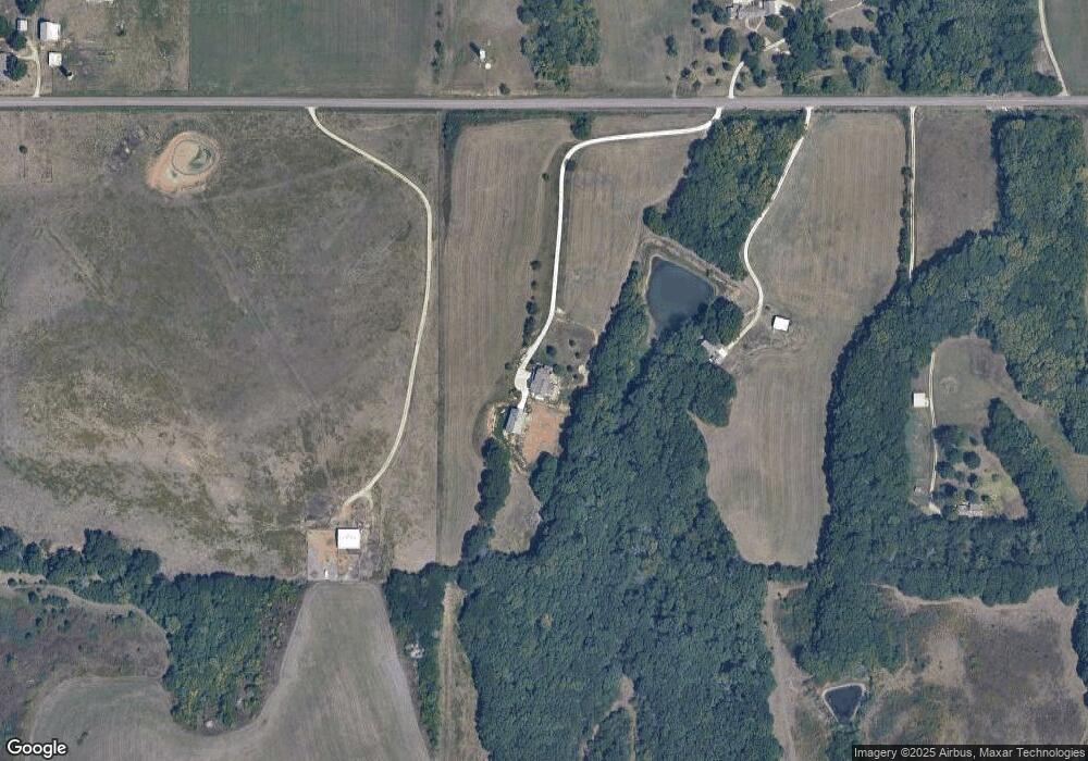
Map
Nearby Homes
- 26563 W 83rd Terrace
- 0 SW 49th St Unit 24984487
- 0 SW 49th St Unit 24984495
- 7737 SW Crawford Rd
- 8435 Pickering St
- 8900 SW Carlson Rd Unit Lot 18
- 8900 SW Carlson Rd Unit Lot 7
- 8900 SW Carlson Rd Unit Lot 8
- 11973 SW 77th St
- 0000 SW Davis Rd
- 7404 SW Davis Rd Unit 4
- 7500 SW Davis Rd
- 7402 SW Davis Rd
- 0003 SW Hoch Rd
- 0001 SW Hoch Rd
- 0002 SW Hoch Rd
- 0004 SW Hoch Rd
- SW Hoch Rd
- 0000 SW Crawford Rd
- 00000 SW Hoch Rd
- 12855 SW 57th St
- 12940 SW 57th St
- 12860 SW 57th St
- 12749 SW 57th St
- 5646 SW Crawford Rd
- 13221 SW 57th St
- 12639 SW 57th St
- 13531 SW 57th St
- 13532 SW 57th St
- 13514 SW K4 Hwy
- 5643 SW Crawford Rd
- 12720 SW 57th St
- 13243 SW 57th St
- 13320 SW 57th St
- 12501 SW 57th St
- 5523 SW Crawford Rd
- 13344 SW 57th St
- 13420 SW 57th St
- 13424 SW 57th St
- 5817 SW Davis Rd