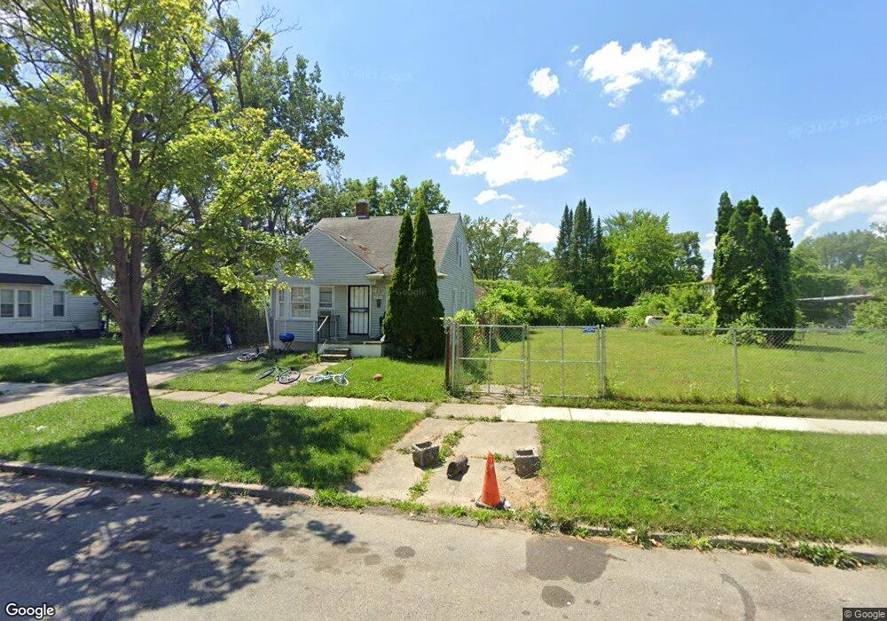
12937 Montrose St Detroit, MI 48227
Schoolcraft Southfield NeighborhoodEstimated Value: $138,000 - $190,000
--
Bed
1
Bath
785
Sq Ft
$205/Sq Ft
Est. Value
About This Home
This home is located at 12937 Montrose St, Detroit, MI 48227 and is currently estimated at $161,000, approximately $205 per square foot. 12937 Montrose St is a home located in Wayne County with nearby schools including Dossin Elementary-Middle School, Charles L. Spain Elementary-Middle School, and Edward 'Duke' Ellington Conservatory of Music and Art.
Ownership History
Date
Name
Owned For
Owner Type
Purchase Details
Closed on
Mar 7, 2016
Sold by
The Detroit Land Bank Authority
Bought by
Heard Ora D
Current Estimated Value
Purchase Details
Closed on
Dec 18, 2013
Sold by
The City Of Detroit
Bought by
The Detroit Land Bank Authority
Purchase Details
Closed on
Jan 6, 2011
Sold by
Wojtowicz Raymond J
Bought by
Planning & Development Dept City Of Detr
Create a Home Valuation Report for This Property
The Home Valuation Report is an in-depth analysis detailing your home's value as well as a comparison with similar homes in the area
Home Values in the Area
Average Home Value in this Area
Purchase History
| Date | Buyer | Sale Price | Title Company |
|---|---|---|---|
| Heard Ora D | -- | Attorney | |
| The Detroit Land Bank Authority | -- | None Available | |
| Planning & Development Dept City Of Detr | -- | None Available |
Source: Public Records
Tax History Compared to Growth
Tax History
| Year | Tax Paid | Tax Assessment Tax Assessment Total Assessment is a certain percentage of the fair market value that is determined by local assessors to be the total taxable value of land and additions on the property. | Land | Improvement |
|---|---|---|---|---|
| 2025 | $36 | $1,700 | $0 | $0 |
| 2024 | $36 | $500 | $0 | $0 |
| 2023 | $35 | $500 | $0 | $0 |
| 2022 | $38 | $500 | $0 | $0 |
| 2021 | $37 | $500 | $0 | $0 |
| 2020 | $19 | $500 | $0 | $0 |
| 2019 | $18 | $500 | $0 | $0 |
| 2018 | $16 | $500 | $0 | $0 |
| 2017 | $4 | $500 | $0 | $0 |
| 2016 | $18 | $0 | $0 | $0 |
| 2015 | $829 | $0 | $0 | $0 |
| 2013 | $829 | $0 | $0 | $0 |
| 2010 | -- | $29,403 | $847 | $28,556 |
Source: Public Records
Map
Nearby Homes
- 12945 Forrer St
- 13526 Montrose St
- 13599 Winthrop St
- 13614 Montrose St
- 13215 Prest St
- 13201 Prest St
- 12904 Saint Marys St
- 13519 Mansfield St
- 13914 Forrer St
- 13572 Saint Marys St
- 13620 Saint Marys St
- 13230 Whitcomb St
- 13995 Montrose St
- 13590 Mettetal St
- 13501 Mettetal St
- 14018 Prevost St
- 13211 Whitcomb
- 12842 Sussex St
- 14010 Rutherford St
- 14035 Rutherford St
- 12945 Montrose St
- 12931 Montrose St
- 12955 Montrose St
- 12963 Montrose St
- 12915 Montrose St Unit Bldg-Unit
- 12915 Montrose St
- 12946 Forrer St
- 12938 Forrer St
- 12930 Forrer St
- 12907 Montrose St
- 12922 Forrer St
- 12954 Forrer St
- 12936 Montrose St
- 12946 Montrose St
- 12930 Montrose St
- 12964 Forrer St
- 12912 Forrer St
- 12954 Montrose St
- 12920 Montrose St
- 12899 Montrose St