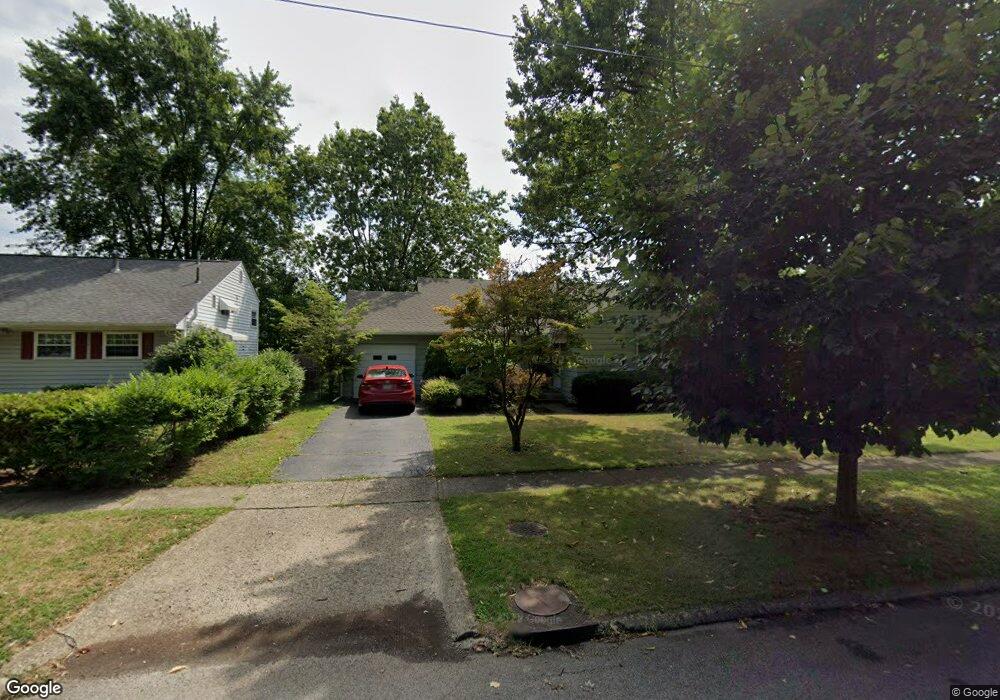
1294 Manfeld Dr Columbus, OH 43227
Shady Lane NeighborhoodEstimated Value: $221,000 - $254,000
3
Beds
2
Baths
1,474
Sq Ft
$160/Sq Ft
Est. Value
About This Home
This home is located at 1294 Manfeld Dr, Columbus, OH 43227 and is currently estimated at $236,167, approximately $160 per square foot. 1294 Manfeld Dr is a home located in Franklin County with nearby schools including Shady Lane Elementary School, Sherwood Middle School, and Walnut Ridge High School.
Ownership History
Date
Name
Owned For
Owner Type
Purchase Details
Closed on
Jul 30, 1997
Sold by
Payne George E and Payne Eleanor E
Bought by
Hylton Frederick N and Hylton Kimberly
Current Estimated Value
Home Financials for this Owner
Home Financials are based on the most recent Mortgage that was taken out on this home.
Original Mortgage
$73,722
Interest Rate
7.71%
Mortgage Type
FHA
Create a Home Valuation Report for This Property
The Home Valuation Report is an in-depth analysis detailing your home's value as well as a comparison with similar homes in the area
Home Values in the Area
Average Home Value in this Area
Purchase History
| Date | Buyer | Sale Price | Title Company |
|---|---|---|---|
| Hylton Frederick N | $74,000 | Foundation Title Agency Inc |
Source: Public Records
Mortgage History
| Date | Status | Borrower | Loan Amount |
|---|---|---|---|
| Closed | Hylton Frederick N | $73,722 |
Source: Public Records
Tax History Compared to Growth
Tax History
| Year | Tax Paid | Tax Assessment Tax Assessment Total Assessment is a certain percentage of the fair market value that is determined by local assessors to be the total taxable value of land and additions on the property. | Land | Improvement |
|---|---|---|---|---|
| 2024 | $2,894 | $64,480 | $16,140 | $48,340 |
| 2023 | $2,857 | $64,480 | $16,140 | $48,340 |
| 2022 | $1,549 | $29,860 | $6,060 | $23,800 |
| 2021 | $1,551 | $29,860 | $6,060 | $23,800 |
| 2020 | $1,553 | $29,860 | $6,060 | $23,800 |
| 2019 | $1,425 | $23,490 | $4,830 | $18,660 |
| 2018 | $1,423 | $23,490 | $4,830 | $18,660 |
| 2017 | $1,496 | $23,490 | $4,830 | $18,660 |
| 2016 | $1,568 | $23,670 | $5,010 | $18,660 |
| 2015 | $1,423 | $23,670 | $5,010 | $18,660 |
| 2014 | $1,427 | $23,670 | $5,010 | $18,660 |
| 2013 | $827 | $27,825 | $5,880 | $21,945 |
Source: Public Records
Map
Nearby Homes
- 1320 Nancy Ln
- 1130 Little Plum Ln
- 4991 Justin Rd
- 1486 Efner Dr
- 4677 E Livingston Ave
- 4501 Amesbury Rd
- 1607 Shady Lane Rd
- 4571 Aragon Ave
- 4701 Janis Dr
- 4484 Grimsby Rd
- 1678 Huxley Dr
- 1281 Maetzel Dr
- 1563 Genoa Place
- 1607 Simpson Dr
- 4467 Grimsby Rd
- 1571 Baxter Dr
- 1691 Shady Lane Rd
- 931 Antwerp Rd
- 1085 S Hamilton Rd
- 1068 Ross Rd
- 1302 Manfeld Dr
- 1286 Manfeld Dr
- 1310 Manfeld Dr
- 1278 Manfeld Dr
- 4913 Andrew Rd
- 1287 Manfeld Dr
- 1295 Manfeld Dr
- 1318 Manfeld Dr
- 1270 Manfeld Dr
- 1279 Manfeld Dr
- 1303 Manfeld Dr
- 4911 Andrew Rd
- 1271 Manfeld Dr
- 1311 Manfeld Dr
- 4882 Beatrice Dr
- 4909 Andrew Rd
- 4892 Beatrice Dr
- 1263 Manfeld Dr
- 4900 Beatrice Dr
- 4899 Andrew Rd