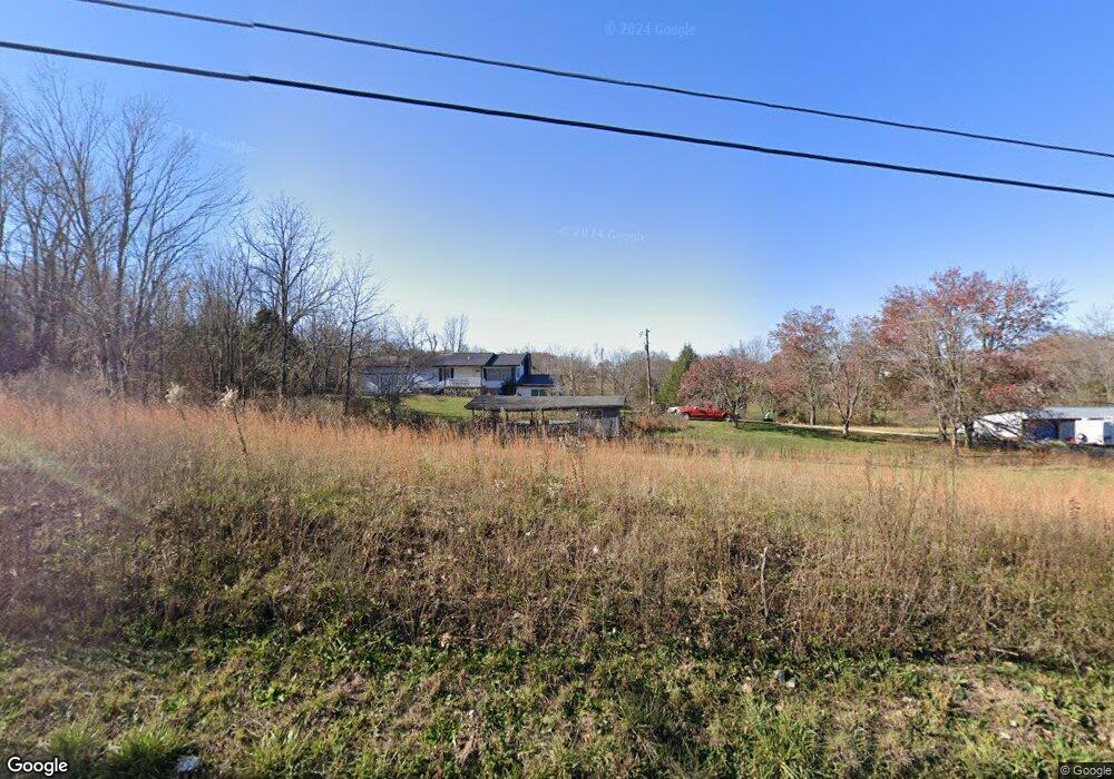
1294 Plunk Whitson Rd Cookeville, TN 38501
Estimated Value: $275,000 - $393,000
--
Bed
2
Baths
1,539
Sq Ft
$222/Sq Ft
Est. Value
About This Home
This home is located at 1294 Plunk Whitson Rd, Cookeville, TN 38501 and is currently estimated at $341,795, approximately $222 per square foot. 1294 Plunk Whitson Rd is a home located in Putnam County with nearby schools including Baxter Primary School, Cornerstone Elementary School, and Upperman Middle School.
Ownership History
Date
Name
Owned For
Owner Type
Purchase Details
Closed on
Feb 4, 2025
Sold by
Collins Randall
Bought by
Collins Lisa Lee
Current Estimated Value
Purchase Details
Closed on
Jul 1, 2024
Sold by
Collins Randall and Collins Johnny Wayne
Bought by
Collins Randall
Purchase Details
Closed on
Nov 12, 1986
Bought by
Collins Johnnie D and Collins Anna
Purchase Details
Closed on
Jan 28, 1980
Purchase Details
Closed on
Nov 10, 1976
Create a Home Valuation Report for This Property
The Home Valuation Report is an in-depth analysis detailing your home's value as well as a comparison with similar homes in the area
Home Values in the Area
Average Home Value in this Area
Purchase History
| Date | Buyer | Sale Price | Title Company |
|---|---|---|---|
| Collins Lisa Lee | -- | Integrity Title | |
| Collins Lisa Lee | -- | Integrity Title | |
| Collins Randall | -- | Integrity Title | |
| Collins Johnnie D | -- | -- | |
| -- | -- | -- | |
| -- | -- | -- |
Source: Public Records
Tax History Compared to Growth
Tax History
| Year | Tax Paid | Tax Assessment Tax Assessment Total Assessment is a certain percentage of the fair market value that is determined by local assessors to be the total taxable value of land and additions on the property. | Land | Improvement |
|---|---|---|---|---|
| 2024 | $1,710 | $64,275 | $22,650 | $41,625 |
| 2023 | $1,710 | $64,275 | $22,650 | $41,625 |
| 2022 | $1,589 | $64,275 | $22,650 | $41,625 |
| 2021 | $1,589 | $64,275 | $22,650 | $41,625 |
| 2020 | $1,446 | $64,275 | $22,650 | $41,625 |
| 2019 | $1,439 | $49,425 | $22,650 | $26,775 |
| 2018 | $1,342 | $49,175 | $22,650 | $26,525 |
| 2017 | $1,342 | $49,175 | $22,650 | $26,525 |
| 2016 | $1,342 | $49,175 | $22,650 | $26,525 |
| 2015 | $1,379 | $49,175 | $22,650 | $26,525 |
| 2014 | $1,333 | $47,505 | $0 | $0 |
Source: Public Records
Map
Nearby Homes
- 1711 Creekside Dr
- 1775 Creekside Dr
- 918 Faye Dr
- 4131 Charlton Square
- 500 N McBroom Chapel Rd
- 1764 Bouton Dr
- 2269 Plunk Whitson Rd
- 2312 Benjy Cir
- 4060 Charlton Square
- 3815 Spurgeon Dr
- 1920 Clemmons Rd
- 0 Bloomington Rd
- 270 Locust Grove Rd
- 2136 W Broad St
- 2618 Whispering Oak Ln
- 2450 Whispering Oaks Ln
- 279 Willow Brook Dr
- 4100 Carroll Dyer Rd
- 1241 Plunk Whitson Rd
- 1182 Plunk Whitson Rd
- 3718 White Cemetery Rd
- 3777 White Cemetery Rd
- 1136 Plunk Whitson Rd
- 1500 Plunk Whitson Rd
- 4071 Claude Loftis Rd
- 00 Plunk Whitson Rd
- 4111 Claude Loftis Rd
- Lot 2, 4 Claude Loftis Rd
- Lot 1, 4 Claude Loftis Rd
- Lot 3, 4 Claude Loftis Rd
- 4045 Claude Loftis Rd
- 1117 Plunk Whitson Rd
- 1104 Plunk Whitson Rd
- 3696 White Cemetery Rd
- 1526 Plunk Whitson Rd
- 4224 Carroll Dyer Rd
- 4139 Claude Loftis Rd