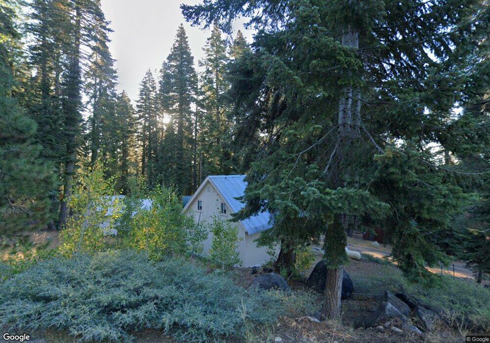
1294 Skyline Dr Tamarack, CA 95223
Estimated Value: $304,000 - $350,000
3
Beds
2
Baths
1,104
Sq Ft
$296/Sq Ft
Est. Value
About This Home
This home is located at 1294 Skyline Dr, Tamarack, CA 95223 and is currently estimated at $327,000, approximately $296 per square foot. 1294 Skyline Dr is a home with nearby schools including Bret Harte Union High School.
Ownership History
Date
Name
Owned For
Owner Type
Purchase Details
Closed on
Oct 15, 2010
Sold by
Brooks Carl F and Brooks Diane M
Bought by
Brooks Carl F and Brooks Diane M
Current Estimated Value
Purchase Details
Closed on
Jan 6, 2009
Sold by
Roberts Arthur and Roberts Diane
Bought by
Brooks Carl F and Brooks Diane M
Home Financials for this Owner
Home Financials are based on the most recent Mortgage that was taken out on this home.
Original Mortgage
$100,800
Interest Rate
5.49%
Mortgage Type
Purchase Money Mortgage
Create a Home Valuation Report for This Property
The Home Valuation Report is an in-depth analysis detailing your home's value as well as a comparison with similar homes in the area
Home Values in the Area
Average Home Value in this Area
Purchase History
| Date | Buyer | Sale Price | Title Company |
|---|---|---|---|
| Brooks Carl F | -- | None Available | |
| Brooks Carl F | $126,000 | First American Title Company |
Source: Public Records
Mortgage History
| Date | Status | Borrower | Loan Amount |
|---|---|---|---|
| Closed | Brooks Carl F | $100,800 |
Source: Public Records
Tax History Compared to Growth
Tax History
| Year | Tax Paid | Tax Assessment Tax Assessment Total Assessment is a certain percentage of the fair market value that is determined by local assessors to be the total taxable value of land and additions on the property. | Land | Improvement |
|---|---|---|---|---|
| 2025 | $2,717 | $202,758 | $33,519 | $169,239 |
| 2023 | $2,668 | $194,886 | $32,218 | $162,668 |
| 2022 | $2,492 | $191,066 | $31,587 | $159,479 |
| 2021 | $2,478 | $187,320 | $30,968 | $156,352 |
| 2020 | $2,449 | $185,400 | $30,651 | $154,749 |
| 2019 | $2,420 | $181,765 | $30,050 | $151,715 |
| 2018 | $2,232 | $178,202 | $29,461 | $148,741 |
| 2017 | $2,178 | $174,709 | $28,884 | $145,825 |
| 2016 | $2,171 | $171,284 | $28,318 | $142,966 |
| 2015 | -- | $168,712 | $27,893 | $140,819 |
| 2014 | -- | $165,408 | $27,347 | $138,061 |
Source: Public Records
Map
Nearby Homes
- 1434 Skyline Dr
- 1361 Summit View Rd
- 1752 N Skyline Dr
- 1070 Mountain View Rd
- 20 Big Meadow Dr
- 476 Aspen Ln
- 179 Kitch Trail
- 0 Kitch Trail Unit 202501305
- 0 Kitch Trail Unit 202501304
- 332 Salt Springs Trail
- 282 Little Buck Rd
- 79 Silvertip Rd
- 34 Silver Tip Dr
- 175 Silver Tip Dr
- 66 Silver Tip Dr
- 2 Blue Rock Trail
- 1 Blue Rock Trail
- 414 Avalanche Rd
- 51 Liberty Rd
- 319 Snowshoe Rd
- 1307 1307 Skyline Dr
- 1283 Skyline Dr
- 1224 Shady Cir
- 1312 Summit View Rd
- 1366 Alpine Vista
- 1394 Alpine Vista
- 1290 Summit View Rd
- 1180 Shady Ln
- 1422 Alpine Dr
- 1356 Summit View Rd
- 1407 Alpine Vista
- 1368 Summit View
- 1442 Alpine Dr
- 1267 Summit View
- 1280 Alpine Vista
- 1251 Summit View
- 1437 Alpine Dr
- 1361-69 Summit View Dr
- 1351 Summit View
- 1305-69 Mountain View Rd