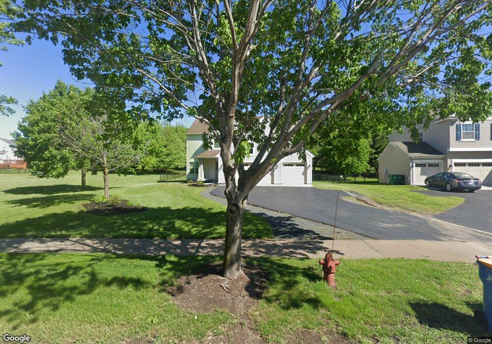
12940 Frankfort Pkwy NE St. Michael, MN 55376
Estimated Value: $425,000 - $445,000
4
Beds
4
Baths
2,288
Sq Ft
$191/Sq Ft
Est. Value
About This Home
This home is located at 12940 Frankfort Pkwy NE, St. Michael, MN 55376 and is currently estimated at $437,142, approximately $191 per square foot. 12940 Frankfort Pkwy NE is a home located in Wright County with nearby schools including Albertville Primary School, Big Woods Elementary School, and Middle School East.
Ownership History
Date
Name
Owned For
Owner Type
Purchase Details
Closed on
Jun 23, 2011
Sold by
Not Provided
Bought by
Chovanard Scott and Not Provided
Current Estimated Value
Purchase Details
Closed on
Oct 25, 2002
Sold by
The Rottlund Company Inc
Bought by
Trongard Daniel C and Strauss Shannon Y
Purchase Details
Closed on
May 15, 2002
Sold by
Arcon Development Inc
Bought by
The Rottlund Company Inc
Create a Home Valuation Report for This Property
The Home Valuation Report is an in-depth analysis detailing your home's value as well as a comparison with similar homes in the area
Home Values in the Area
Average Home Value in this Area
Purchase History
| Date | Buyer | Sale Price | Title Company |
|---|---|---|---|
| Chovanard Scott | $188,660 | -- | |
| Trongard Daniel C | $241,231 | -- | |
| The Rottlund Company Inc | $519,170 | -- |
Source: Public Records
Tax History Compared to Growth
Tax History
| Year | Tax Paid | Tax Assessment Tax Assessment Total Assessment is a certain percentage of the fair market value that is determined by local assessors to be the total taxable value of land and additions on the property. | Land | Improvement |
|---|---|---|---|---|
| 2025 | $4,100 | $375,300 | $69,000 | $306,300 |
| 2024 | $4,074 | $368,600 | $66,000 | $302,600 |
| 2023 | $4,074 | $391,200 | $68,000 | $323,200 |
| 2022 | $4,070 | $360,100 | $63,000 | $297,100 |
| 2021 | $4,026 | $309,600 | $45,000 | $264,600 |
| 2020 | $4,042 | $297,300 | $45,000 | $252,300 |
| 2019 | $4,074 | $291,600 | $0 | $0 |
| 2018 | $3,750 | $278,300 | $0 | $0 |
| 2017 | $3,546 | $263,100 | $0 | $0 |
| 2016 | $3,386 | $0 | $0 | $0 |
| 2015 | $3,334 | $0 | $0 | $0 |
| 2014 | -- | $0 | $0 | $0 |
Source: Public Records
Map
Nearby Homes
- 12930 44th Place Cir NE
- 12763 44th Cir NE
- 4505 Napier Pkwy NE
- 4850 Mcallister Ave NE
- 2464 Jacamar Ave NE
- 12608 43rd St NE
- 4481 Mason Ave NE
- 4580 Nason Pkwy NE
- 3896 Melby Ave NE
- 12801 40th St NE
- 13703 47th St NE
- 4839 Nason Pkwy NE
- 2544 Jandell Ave NE
- 2516 Jandell Ave NE
- 2385 Jandell Ave NE
- 13858 43rd St NE
- 13910 47th Ln NE
- 3880 Larabee Ave NE
- 3886 Larabee Ave NE
- 4566 Landmark Dr NE
- 12940 Frankfort Pkwy NE
- 12946 Frankfort Pkwy NE
- 4532 Mellum Ave NE
- 4601 Naber Ave NE
- 4536 Mellum Ave NE
- 4540 Mellum Ave NE
- 12823 46th Cir NE
- 12934 44th Place Cir NE
- 4544 Mellum Ave NE
- 12937 44th Place Cir NE
- 12819 46th Cir NE
- 4531 Mellum Ave NE
- 12826 46th Cir NE
- 4535 Mellum Ave NE
- 12815 46th Cir NE
- 4539 Mellum Ave NE
- 4489 Mellum Ave NE
- 4543 Mellum Ave NE
- 2476 Jaber Ave NE
- 2401 Jaber Ave NE