Estimated Value: $444,000 - $516,000
Studio
1
Bath
2,760
Sq Ft
$175/Sq Ft
Est. Value
About This Home
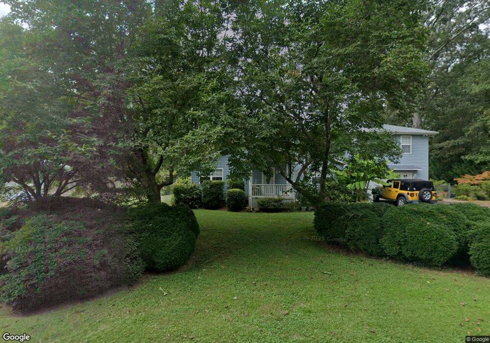
This home is located at 12945 Mohawk Dr, Lusby, MD 20657 and is currently estimated at $484,261, approximately $175 per square foot. 12945 Mohawk Dr is a home located in Calvert County with nearby schools including Dowell Elementary School, Mill Creek Middle School, and Patuxent High School.
Ownership History
Date
Name
Owned For
Owner Type
Purchase Details
Closed on
Sep 28, 2000
Sold by
Youngerman Sunoco Of Lusby Inc
Bought by
Makowski Brian R and Makowski Debra G
Current Estimated Value
Purchase Details
Closed on
Dec 8, 1993
Sold by
Hansen E E
Bought by
Sunoco Youngerman
Home Financials for this Owner
Home Financials are based on the most recent Mortgage that was taken out on this home.
Original Mortgage
$36,000
Interest Rate
6.78%
Create a Home Valuation Report for This Property
The Home Valuation Report is an in-depth analysis detailing your home's value as well as a comparison with similar homes in the area
Home Values in the Area
Average Home Value in this Area
Purchase History
| Date | Buyer | Sale Price | Title Company |
|---|---|---|---|
| Makowski Brian R | $104,400 | -- | |
| Sunoco Youngerman | $45,000 | -- |
Source: Public Records
Mortgage History
| Date | Status | Borrower | Loan Amount |
|---|---|---|---|
| Previous Owner | Sunoco Youngerman | $36,000 | |
| Closed | Makowski Brian R | -- |
Source: Public Records
Tax History
| Year | Tax Paid | Tax Assessment Tax Assessment Total Assessment is a certain percentage of the fair market value that is determined by local assessors to be the total taxable value of land and additions on the property. | Land | Improvement |
|---|---|---|---|---|
| 2025 | $4,308 | $362,433 | $0 | $0 |
| 2024 | $4,037 | $337,767 | $0 | $0 |
| 2023 | $3,642 | $313,100 | $87,200 | $225,900 |
| 2022 | $3,145 | $302,733 | $0 | $0 |
| 2021 | $2,326 | $292,367 | $0 | $0 |
| 2020 | $3,264 | $282,000 | $87,200 | $194,800 |
| 2019 | $2,928 | $279,133 | $0 | $0 |
| 2018 | $2,898 | $276,267 | $0 | $0 |
| 2017 | $3,193 | $273,400 | $0 | $0 |
| 2016 | -- | $272,067 | $0 | $0 |
| 2015 | $1,684 | $270,733 | $0 | $0 |
| 2014 | $1,684 | $269,400 | $0 | $0 |
Source: Public Records
Map
Nearby Homes
- 454 Buckler Dr
- 12948 Cree Dr
- 12987 Holly Way
- 12959 Pine Ln
- 12921 Pine Ln
- 12996 Sky View Ln
- 422 Lessin Dr
- 12924 Pine Ln
- 484 Lake Dr
- 422 Overlook Dr
- 421 Overlook Dr
- 454 Dogwood Dr
- 310 Mcmichaels Dr
- 12846 Laurel Way
- 298 Cove Dr
- 12805 Bay Dr
- 204 Lessin Dr
- 12817 Abilene Trail
- 238 Leason Cove Dr
- 13155 Rousby Hall Rd
- 12937 Mohawk Dr
- 12953 Mohawk Dr
- 12954 Ottawa Dr
- 12933 Mohawk Dr
- 12946 Mohawk Dr
- 12966 Ottawa Dr
- 12957 Mohawk Dr
- 12950 Mohawk Dr
- 12942 Mohawk Dr
- 12962 Ottawa Dr
- 12954 Mohawk Dr
- 12938 Mohawk Dr
- 12946 Ottawa Dr
- 12970 Ottawa Dr
- 12963 Mohawk Dr
- 465 Buckler Dr
- 465 Buckler Dr
- 12958 Mohawk Dr
- 12934 Mohawk Dr
- 457 Buckler Dr
Your Personal Tour Guide
Ask me questions while you tour the home.