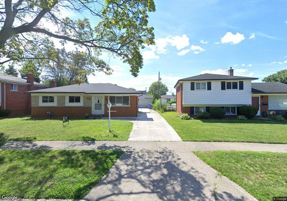
12946 Geoffry Dr Warren, MI 48088
Northeast Warren NeighborhoodEstimated Value: $249,000 - $273,000
4
Beds
3
Baths
1,602
Sq Ft
$163/Sq Ft
Est. Value
About This Home
This home is located at 12946 Geoffry Dr, Warren, MI 48088 and is currently estimated at $260,859, approximately $162 per square foot. 12946 Geoffry Dr is a home located in Macomb County with nearby schools including Warren Woods Tower High School, Frontier International Academy Elementary, and Warren Woods Christian School.
Ownership History
Date
Name
Owned For
Owner Type
Purchase Details
Closed on
Jun 30, 2025
Sold by
Koulouberis Charles Sam and Koulouberis Alexandra
Bought by
Koulouberis Elizabeth A
Current Estimated Value
Purchase Details
Closed on
Apr 16, 2004
Sold by
Koulouberis Sam
Bought by
Koulouberis Charles S
Home Financials for this Owner
Home Financials are based on the most recent Mortgage that was taken out on this home.
Original Mortgage
$155,975
Interest Rate
8.65%
Mortgage Type
New Conventional
Purchase Details
Closed on
Jan 25, 1999
Sold by
Minoletti Martin
Bought by
Koulouberis Sam
Create a Home Valuation Report for This Property
The Home Valuation Report is an in-depth analysis detailing your home's value as well as a comparison with similar homes in the area
Home Values in the Area
Average Home Value in this Area
Purchase History
| Date | Buyer | Sale Price | Title Company |
|---|---|---|---|
| Koulouberis Elizabeth A | -- | None Listed On Document | |
| Koulouberis Elizabeth A | -- | None Listed On Document | |
| Koulouberis Charles S | -- | First American Title Ins Co | |
| Koulouberis Sam | $132,000 | -- |
Source: Public Records
Mortgage History
| Date | Status | Borrower | Loan Amount |
|---|---|---|---|
| Previous Owner | Koulouberis Charles S | $155,975 |
Source: Public Records
Tax History Compared to Growth
Tax History
| Year | Tax Paid | Tax Assessment Tax Assessment Total Assessment is a certain percentage of the fair market value that is determined by local assessors to be the total taxable value of land and additions on the property. | Land | Improvement |
|---|---|---|---|---|
| 2025 | $3,300 | $115,070 | $0 | $0 |
| 2024 | $3,208 | $111,700 | $0 | $0 |
| 2023 | $3,009 | $105,330 | $0 | $0 |
| 2022 | $2,930 | $88,940 | $0 | $0 |
| 2021 | $2,875 | $81,990 | $0 | $0 |
| 2020 | $2,756 | $77,850 | $0 | $0 |
| 2019 | $2,816 | $71,970 | $0 | $0 |
| 2018 | $78 | $62,720 | $0 | $0 |
| 2017 | $2,515 | $62,510 | $10,820 | $51,690 |
| 2016 | $2,496 | $62,510 | $0 | $0 |
| 2015 | -- | $58,530 | $0 | $0 |
| 2013 | $5,851 | $47,190 | $0 | $0 |
Source: Public Records
Map
Nearby Homes
- 12980 E 12 Mile Rd
- 29143 Dover Ave
- 13053 Geoffry Dr
- 13019 Stanley Dr
- 13143 Geoffry Dr
- 29365 Dover Ave
- 29379 Newport Dr
- 29105 Palomino Dr
- 28616 Newport Dr
- 29355 Eiffel Ave
- 54765 Palomino Ave
- 29649 Dover Ave
- 28741 Roan Dr
- 28621 Pinto Dr
- 29601 Moulin Ave
- 29091 Wagner Dr
- 29366 Wagner Dr
- 29820 Palomino Dr
- 11916 Geoffry Dr
- 12531 Common Rd
- 12934 Geoffry Dr
- 12970 Geoffry Dr
- 12885 E 12 Mile Rd
- 12873 E 12 Mile Rd
- 12885 E Twelve Mile Rd
- 12915 E 12 Mile Rd
- 12912 Geoffry Dr
- 12861 E 12 Mile Rd
- 12915 Twelve Mile Rd
- 12927 E 12 Mile Rd
- 29152 Newport Dr
- 13000 Geoffry Dr
- 12949 Geoffry Dr
- 29128 Newport Dr
- 12927 Twelve Mile Rd
- 29116 Newport Dr
- 12911 Geoffry Dr
- 12939 E 12 Mile Rd
- 12969 Geoffry Dr
- 13012 Geoffry Dr