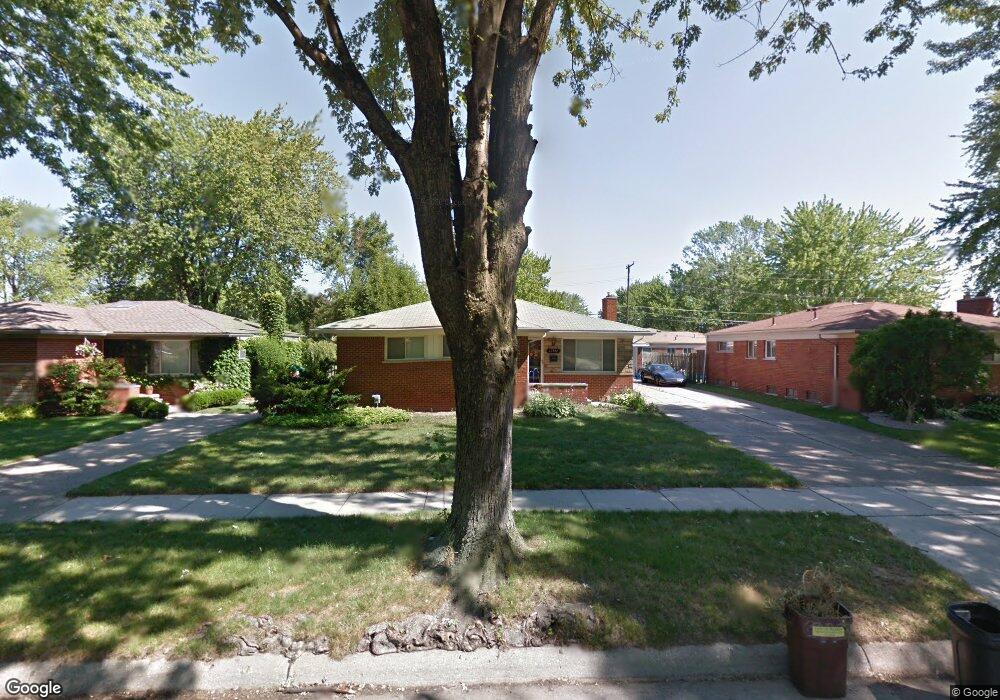
12947 Stamford Ave Warren, MI 48089
Southeast Warren NeighborhoodEstimated Value: $242,000 - $258,000
3
Beds
2
Baths
1,400
Sq Ft
$178/Sq Ft
Est. Value
About This Home
This home is located at 12947 Stamford Ave, Warren, MI 48089 and is currently estimated at $249,359, approximately $178 per square foot. 12947 Stamford Ave is a home located in Macomb County with nearby schools including Warren Woods Tower High School and Frontier International Academy Elementary.
Ownership History
Date
Name
Owned For
Owner Type
Purchase Details
Closed on
Feb 1, 2021
Sold by
Stillman Frederick D
Bought by
Stillman Frederick D and Stillman Sherry Lynn
Current Estimated Value
Home Financials for this Owner
Home Financials are based on the most recent Mortgage that was taken out on this home.
Original Mortgage
$146,076
Outstanding Balance
$131,425
Interest Rate
3.05%
Mortgage Type
VA
Estimated Equity
$117,934
Purchase Details
Closed on
Apr 7, 2006
Sold by
Mckay Daniel E and Mckay Kathryn
Bought by
Stillman Frederick D
Create a Home Valuation Report for This Property
The Home Valuation Report is an in-depth analysis detailing your home's value as well as a comparison with similar homes in the area
Home Values in the Area
Average Home Value in this Area
Purchase History
| Date | Buyer | Sale Price | Title Company |
|---|---|---|---|
| Stillman Frederick D | -- | Transtar National Title | |
| Stillman Frederick D | $162,500 | Clinton Valley Title Company |
Source: Public Records
Mortgage History
| Date | Status | Borrower | Loan Amount |
|---|---|---|---|
| Open | Stillman Frederick D | $146,076 |
Source: Public Records
Tax History Compared to Growth
Tax History
| Year | Tax Paid | Tax Assessment Tax Assessment Total Assessment is a certain percentage of the fair market value that is determined by local assessors to be the total taxable value of land and additions on the property. | Land | Improvement |
|---|---|---|---|---|
| 2025 | $2,839 | $117,670 | $0 | $0 |
| 2024 | $2,759 | $104,060 | $0 | $0 |
| 2023 | $2,607 | $94,410 | $0 | $0 |
| 2022 | $2,556 | $84,820 | $0 | $0 |
| 2021 | $2,508 | $81,040 | $0 | $0 |
| 2020 | $2,403 | $75,890 | $0 | $0 |
| 2019 | $2,296 | $70,900 | $0 | $0 |
| 2018 | $2,319 | $54,240 | $0 | $0 |
| 2017 | $2,193 | $50,060 | $6,220 | $43,840 |
| 2016 | $2,176 | $50,060 | $0 | $0 |
| 2015 | -- | $46,050 | $0 | $0 |
| 2012 | -- | $43,130 | $0 | $0 |
Source: Public Records
Map
Nearby Homes
- 26515 Newport Ave
- 13144 Stamford Ave
- 13171 Burgundy Ave
- 13203 Frazho Rd
- 12291 E 11 Mile Rd
- 26640 Schoenherr Rd
- 26443 Marilyn Ave
- 26552 Wagner Ave
- 13696 Harthill Ave
- 11927 Stamford Ave
- 25653 Palomino Ave
- 27529 Roan Dr
- 0000 Frazho Rd
- 12922 Heritage S Unit 54
- 13342 De Mott Dr
- 11920 Carney St
- 11820 Mckinley Dr
- 27260 Norma Dr
- 13653 Brainbridge Ave
- 13429 Zagaiski Ave
- 12925 Stamford Ave
- 12955 Stamford Ave
- 26635 Dover Ct
- 12911 Stamford Ave
- 26636 Fairfield Ave
- 26647 Dover Ct
- 26648 Fairfield Ave
- 12938 Stamford Ave
- 12950 Stamford Ave
- 13015 Stamford Ave
- 12926 Stamford Ave
- 26659 Dover Ct
- 12962 Stamford Ave
- 26660 Fairfield Ave
- 12914 Stamford Ave
- 26634 Dover Ct
- 13006 Stamford Ave
- 26671 Dover Ct
- 13029 Stamford Ave
- 26532 Fairfield Ave