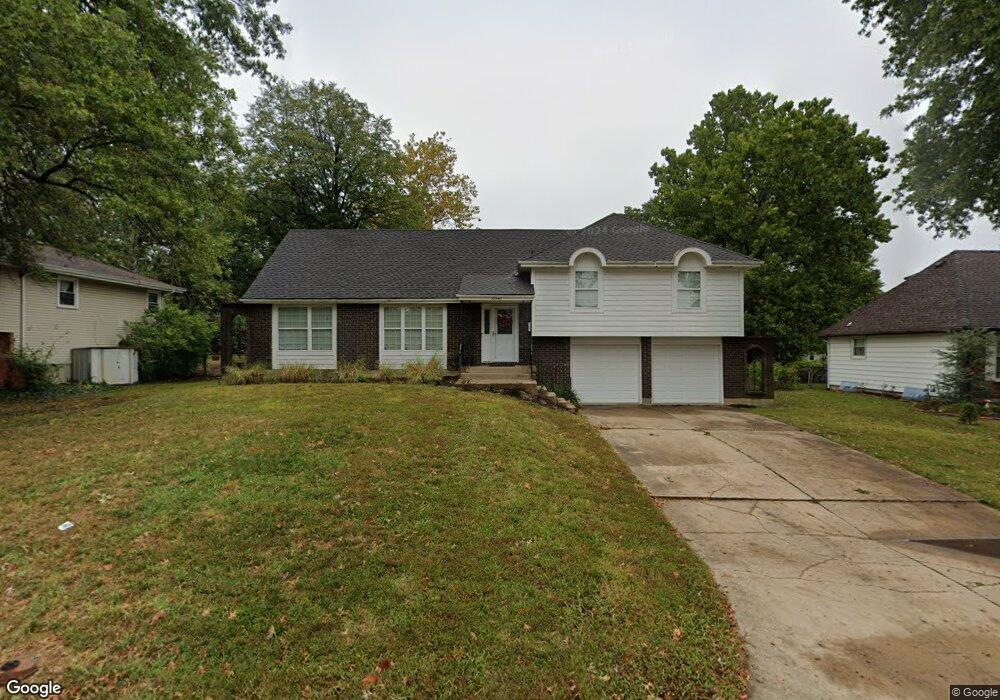
12948 Craig Ave Grandview, MO 64030
Estimated Value: $287,000 - $323,000
3
Beds
3
Baths
1,901
Sq Ft
$157/Sq Ft
Est. Value
About This Home
This home is located at 12948 Craig Ave, Grandview, MO 64030 and is currently estimated at $298,860, approximately $157 per square foot. 12948 Craig Ave is a home located in Jackson County with nearby schools including Conn-West Elementary School, Grandview Middle, and Grandview High School.
Ownership History
Date
Name
Owned For
Owner Type
Purchase Details
Closed on
Aug 23, 2021
Sold by
Fc Holdings Llc
Bought by
Kearney Jimmy and Kearney Shannon
Current Estimated Value
Home Financials for this Owner
Home Financials are based on the most recent Mortgage that was taken out on this home.
Original Mortgage
$270,019
Outstanding Balance
$245,161
Interest Rate
2.8%
Mortgage Type
FHA
Estimated Equity
$53,699
Purchase Details
Closed on
May 14, 2021
Sold by
Coon James G and Coon John P
Bought by
Fc Holdings Llc
Create a Home Valuation Report for This Property
The Home Valuation Report is an in-depth analysis detailing your home's value as well as a comparison with similar homes in the area
Home Values in the Area
Average Home Value in this Area
Purchase History
| Date | Buyer | Sale Price | Title Company |
|---|---|---|---|
| Kearney Jimmy | -- | Continental Title Co | |
| Fc Holdings Llc | -- | Continental Title Co |
Source: Public Records
Mortgage History
| Date | Status | Borrower | Loan Amount |
|---|---|---|---|
| Open | Kearney Jimmy | $270,019 |
Source: Public Records
Tax History
| Year | Tax Paid | Tax Assessment Tax Assessment Total Assessment is a certain percentage of the fair market value that is determined by local assessors to be the total taxable value of land and additions on the property. | Land | Improvement |
|---|---|---|---|---|
| 2025 | $4,326 | $26,634 | $5,483 | $21,151 |
| 2024 | $4,252 | $53,200 | $8,900 | $44,300 |
| 2023 | $4,252 | $53,200 | $9,093 | $44,107 |
| 2022 | $1,729 | $20,140 | $3,707 | $16,433 |
| 2021 | $1,728 | $20,140 | $3,707 | $16,433 |
| 2020 | $1,462 | $18,050 | $3,707 | $14,343 |
| 2019 | $1,410 | $22,074 | $3,707 | $18,367 |
| 2018 | $1,613 | $19,211 | $3,226 | $15,985 |
| 2017 | $1,613 | $19,211 | $3,226 | $15,985 |
| 2016 | $1,536 | $17,923 | $3,352 | $14,571 |
Source: Public Records
Map
Nearby Homes
- 12200 Craig Dr
- 12217 Bennington Ave
- 6008 E 129th St
- 6614 E 128th St
- 12709 Applewood Dr
- 12701 Applewood Dr
- 5956 E 129th St
- 13008 Corrington Ave
- 12525 Craig Ave
- 14925 S U S 71 Hwy
- 12704 Bristol Ave
- 12801 Corrington Ave
- 13218 Craig Ave
- 12800 Crystal Ave
- 7305 E 129th St
- 6712 E 134th St
- 13420 Belmead Ave
- 13424 Parker Ave
- 12718 Oakland Ave
- 13205 Byars Rd
- 12948 Craig Dr
- 12952 Craig Dr
- 12944 Craig Ave
- 12952 Craig Ave
- 12940 Craig Ave
- 6405 E 129th Place
- 12927 Beacon Ave
- 12949 Craig Ave
- 12931 Beacon Ave
- 6409 E 129th Place
- 12936 Craig Ave
- 6413 E 129th Place
- 12941 Fuller Ave
- 12953 Craig Ave
- 12928 Beacon Ave
- 6501 E 129th Place
- 12932 Craig Ave
- 6404 E 129th Place
- 12932 Craig Dr
- 12939 Beacon Ave
Your Personal Tour Guide
Ask me questions while you tour the home.