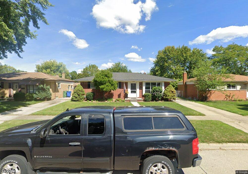
12955 Walter Ave Warren, MI 48088
Northeast Warren NeighborhoodEstimated Value: $241,383 - $252,000
3
Beds
2
Baths
1,145
Sq Ft
$215/Sq Ft
Est. Value
About This Home
This home is located at 12955 Walter Ave, Warren, MI 48088 and is currently estimated at $245,846, approximately $214 per square foot. 12955 Walter Ave is a home located in Macomb County with nearby schools including Warren Woods Tower High School, Frontier International Academy Elementary, and Warren Woods Christian School.
Ownership History
Date
Name
Owned For
Owner Type
Purchase Details
Closed on
Mar 23, 2005
Sold by
Elum Jonathan C and Santiago Elum Aileen
Bought by
Byrnes Justin M and Byrnes Stacey A
Current Estimated Value
Purchase Details
Closed on
Jan 21, 2000
Sold by
Meyers William G
Bought by
Elum Jonathan C
Purchase Details
Closed on
Aug 5, 1998
Sold by
Mroz Cecilia
Bought by
Meyers Lynn M
Create a Home Valuation Report for This Property
The Home Valuation Report is an in-depth analysis detailing your home's value as well as a comparison with similar homes in the area
Home Values in the Area
Average Home Value in this Area
Purchase History
| Date | Buyer | Sale Price | Title Company |
|---|---|---|---|
| Byrnes Justin M | $163,900 | Metropolitan Title Company | |
| Elum Jonathan C | $135,000 | -- | |
| Meyers Lynn M | $129,700 | -- |
Source: Public Records
Tax History Compared to Growth
Tax History
| Year | Tax Paid | Tax Assessment Tax Assessment Total Assessment is a certain percentage of the fair market value that is determined by local assessors to be the total taxable value of land and additions on the property. | Land | Improvement |
|---|---|---|---|---|
| 2025 | $2,945 | $110,580 | $0 | $0 |
| 2024 | $2,862 | $100,290 | $0 | $0 |
| 2023 | $2,704 | $96,760 | $0 | $0 |
| 2022 | $2,651 | $84,600 | $0 | $0 |
| 2021 | $2,601 | $77,320 | $0 | $0 |
| 2020 | $2,493 | $73,090 | $0 | $0 |
| 2019 | $2,382 | $69,870 | $0 | $0 |
| 2018 | $71 | $57,650 | $0 | $0 |
| 2017 | $2,275 | $51,750 | $9,660 | $42,090 |
| 2016 | $2,258 | $51,750 | $0 | $0 |
| 2015 | -- | $45,450 | $0 | $0 |
| 2013 | $2,181 | $42,680 | $0 | $0 |
Source: Public Records
Map
Nearby Homes
- 29667 Newport Dr
- 30252 Newport Dr
- 29820 Palomino Dr
- 13325 Iowa Dr
- 29365 Dover Ave
- 29379 Newport Dr
- 30419 Iroquois Dr
- 30154 Pinto Dr
- 30052 Schoenherr Rd
- 30040 Schoenherr Rd
- 29723 Roan Dr
- 13265 Geoffry Dr
- 30806 Ridgefield Ave
- 29266 Moulin Ave
- 13264 Geoffry Dr
- 30834 Iroquois Dr
- 13740 Iowa Dr
- 29366 Wagner Dr
- 29161 Schoenherr Rd
- 29819 Bonnie Dr
- 12943 Walter Ave
- 13015 Walter Ave
- 12931 Walter Ave
- 12984 Common Rd
- 13004 Common Rd
- 12972 Common Rd
- 13027 Walter Ave
- 12919 Walter Ave
- 12954 Walter Ave
- 12932 Walter Ave
- 12948 Common Rd
- 13028 Common Rd
- 13039 Walter Ave
- 13020 Walter Ave
- 12908 Walter Ave
- 12936 Common Rd
- 29812 Newport Dr
- 13032 Walter Ave
- 29840 Newport Dr
- 29675 Fairfield Dr