1296 Hanley Rd Jackson, OH 45640
Estimated Value: $405,706 - $562,000
4
Beds
3
Baths
3,266
Sq Ft
$142/Sq Ft
Est. Value
About This Home
This home is located at 1296 Hanley Rd, Jackson, OH 45640 and is currently estimated at $462,235, approximately $141 per square foot. 1296 Hanley Rd is a home located in Jackson County with nearby schools including Oak Hill Elementary School and Oak Hill Middle/High School.
Ownership History
Date
Name
Owned For
Owner Type
Purchase Details
Closed on
Sep 7, 2005
Sold by
Hall Virgil and Hall Linda Lou
Bought by
Evans Jason A and Evans Angela D
Current Estimated Value
Home Financials for this Owner
Home Financials are based on the most recent Mortgage that was taken out on this home.
Original Mortgage
$12,675
Interest Rate
6.65%
Mortgage Type
Adjustable Rate Mortgage/ARM
Purchase Details
Closed on
Aug 26, 2005
Sold by
Countytyme Alc Ltd
Bought by
Hall Virgil and Hall Linda Lou
Home Financials for this Owner
Home Financials are based on the most recent Mortgage that was taken out on this home.
Original Mortgage
$12,675
Interest Rate
6.65%
Mortgage Type
Adjustable Rate Mortgage/ARM
Purchase Details
Closed on
Jul 26, 2002
Bought by
Anthony Land Co Ltd
Create a Home Valuation Report for This Property
The Home Valuation Report is an in-depth analysis detailing your home's value as well as a comparison with similar homes in the area
Home Values in the Area
Average Home Value in this Area
Purchase History
| Date | Buyer | Sale Price | Title Company |
|---|---|---|---|
| Evans Jason A | $19,500 | None Available | |
| Hall Virgil | -- | None Available | |
| Anthony Land Co Ltd | -- | -- |
Source: Public Records
Mortgage History
| Date | Status | Borrower | Loan Amount |
|---|---|---|---|
| Previous Owner | Evans Jason A | $12,675 |
Source: Public Records
Tax History Compared to Growth
Tax History
| Year | Tax Paid | Tax Assessment Tax Assessment Total Assessment is a certain percentage of the fair market value that is determined by local assessors to be the total taxable value of land and additions on the property. | Land | Improvement |
|---|---|---|---|---|
| 2024 | $2,893 | $89,250 | $8,260 | $80,990 |
| 2023 | $2,893 | $89,250 | $8,260 | $80,990 |
| 2022 | $3,114 | $79,450 | $7,410 | $72,040 |
| 2021 | $2,746 | $79,450 | $7,410 | $72,040 |
| 2020 | $2,767 | $79,450 | $7,410 | $72,040 |
| 2019 | $2,489 | $69,090 | $6,450 | $62,640 |
| 2018 | $2,407 | $69,090 | $6,450 | $62,640 |
| 2017 | $1,150 | $69,090 | $6,450 | $62,640 |
| 2016 | $2,772 | $82,660 | $6,560 | $76,100 |
| 2015 | $2,804 | $82,660 | $6,560 | $76,100 |
| 2013 | $2,789 | $83,280 | $6,560 | $76,720 |
| 2012 | $2,839 | $83,280 | $6,560 | $76,720 |
Source: Public Records
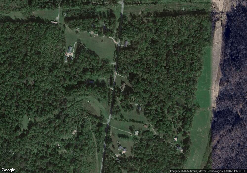
Map
Nearby Homes
- 1408 Hanley Rd
- 0 Standpipe Rd
- 385 Gleandonshire Ln
- 0 Gleandonshire Ln Unit 1
- 350 Standpipe Rd
- 1862 Keystone Furnace Rd
- 1610 Erwin Rd
- 2246 Cutlip Rd
- 0 Keystone Furnace Rd Unit 25042742
- 0 Keystone Furnace Rd Unit 225033499
- 3325 Camba Rd
- 0 Acy Ave
- 563 Lewis Rd
- 1701 Dixon Run Rd
- 212 Watts Colony St
- 0 Industry Dr
- 2380 Mayhew Rd
- 1953 Mayhew Rd
- 232 Florence Ave
- 0 Main and Ballard St