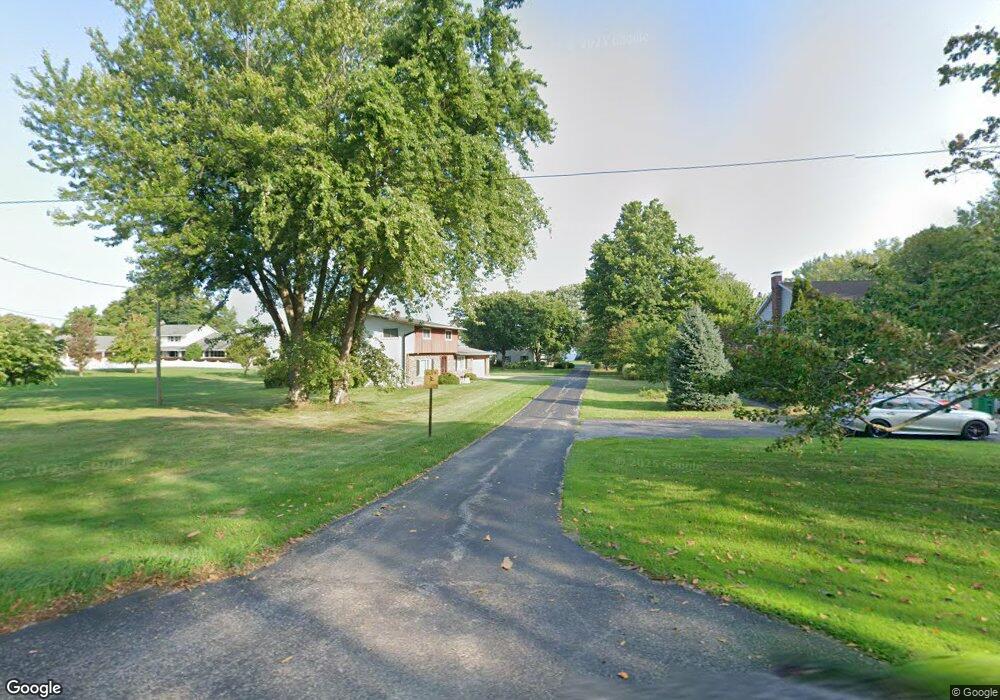
1296 Lake Rd Conneaut, OH 44030
Estimated Value: $299,000 - $353,000
3
Beds
2
Baths
1,706
Sq Ft
$189/Sq Ft
Est. Value
About This Home
This home is located at 1296 Lake Rd, Conneaut, OH 44030 and is currently estimated at $322,378, approximately $188 per square foot. 1296 Lake Rd is a home located in Ashtabula County with nearby schools including Lakeshore Primary Elementary School, Gateway Elementary School, and Conneaut Middle School.
Ownership History
Date
Name
Owned For
Owner Type
Purchase Details
Closed on
Aug 29, 2011
Sold by
Daily Arthur P
Bought by
Daily Arthur Philip and The Arthur Philip Daily Trust
Current Estimated Value
Purchase Details
Closed on
Aug 26, 2003
Sold by
Friel Terry C
Bought by
Daily Arthur P
Home Financials for this Owner
Home Financials are based on the most recent Mortgage that was taken out on this home.
Original Mortgage
$121,600
Interest Rate
6.4%
Mortgage Type
Unknown
Create a Home Valuation Report for This Property
The Home Valuation Report is an in-depth analysis detailing your home's value as well as a comparison with similar homes in the area
Home Values in the Area
Average Home Value in this Area
Purchase History
| Date | Buyer | Sale Price | Title Company |
|---|---|---|---|
| Daily Arthur Philip | -- | None Available | |
| Daily Arthur P | $152,000 | Chicago Title Agency |
Source: Public Records
Mortgage History
| Date | Status | Borrower | Loan Amount |
|---|---|---|---|
| Previous Owner | Daily Arthur P | $121,600 |
Source: Public Records
Tax History Compared to Growth
Tax History
| Year | Tax Paid | Tax Assessment Tax Assessment Total Assessment is a certain percentage of the fair market value that is determined by local assessors to be the total taxable value of land and additions on the property. | Land | Improvement |
|---|---|---|---|---|
| 2024 | $5,884 | $80,440 | $34,900 | $45,540 |
| 2023 | $3,302 | $80,440 | $34,900 | $45,540 |
| 2022 | $3,131 | $68,260 | $26,850 | $41,410 |
| 2021 | $3,186 | $68,260 | $26,850 | $41,410 |
| 2020 | $3,723 | $78,370 | $26,850 | $51,520 |
| 2019 | $3,344 | $70,150 | $28,250 | $41,900 |
| 2018 | $3,188 | $70,150 | $28,250 | $41,900 |
| 2017 | $3,182 | $70,150 | $28,250 | $41,900 |
| 2016 | $2,364 | $58,350 | $23,490 | $34,860 |
| 2015 | $2,388 | $58,350 | $23,490 | $34,860 |
| 2014 | $2,103 | $58,350 | $23,490 | $34,860 |
| 2013 | $1,936 | $55,730 | $20,970 | $34,760 |
Source: Public Records
Map
Nearby Homes
- 1300 Lake Rd
- 139 Salisbury Rd
- 1185 Lake Rd
- 2663 Lake Rd
- 1145 Lake Rd
- 106 Margor Dr
- 202 W Main Rd Unit Lot 150
- 320 W Main Rd
- 210 W Main Rd
- 40 Oakland Blvd
- 1036 Golfview Dr
- 247 Whitney St
- 220 Daniels Ave
- 919 Lincoln Dr
- 681 Madison St
- 535 Blair St
- 3988 Lake Rd
- 4377 E Center St
- 0 Chestnut St Unit 5120761
- 18 Hillcrest Ct