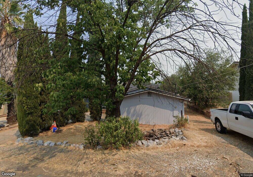
1296 Oakdale Ln Redding, CA 96002
Mistletoe NeighborhoodEstimated Value: $235,000 - $402,000
4
Beds
2
Baths
1,845
Sq Ft
$180/Sq Ft
Est. Value
About This Home
This home is located at 1296 Oakdale Ln, Redding, CA 96002 and is currently estimated at $331,940, approximately $179 per square foot. 1296 Oakdale Ln is a home located in Shasta County with nearby schools including Mistletoe Elementary School, Enterprise High School, and Montessori Children's House of Shady Oaks.
Ownership History
Date
Name
Owned For
Owner Type
Purchase Details
Closed on
Oct 29, 2020
Sold by
Matous Michael D
Bought by
Perizzolo Tayler
Current Estimated Value
Home Financials for this Owner
Home Financials are based on the most recent Mortgage that was taken out on this home.
Original Mortgage
$128,627
Outstanding Balance
$114,460
Interest Rate
2.8%
Mortgage Type
FHA
Estimated Equity
$217,480
Purchase Details
Closed on
Sep 5, 1997
Sold by
Sp Matous Michael D
Bought by
Matous Michael D
Home Financials for this Owner
Home Financials are based on the most recent Mortgage that was taken out on this home.
Original Mortgage
$30,000
Interest Rate
7.34%
Mortgage Type
Purchase Money Mortgage
Create a Home Valuation Report for This Property
The Home Valuation Report is an in-depth analysis detailing your home's value as well as a comparison with similar homes in the area
Home Values in the Area
Average Home Value in this Area
Purchase History
| Date | Buyer | Sale Price | Title Company |
|---|---|---|---|
| Perizzolo Tayler | $131,000 | Placer Title Company | |
| Matous Michael D | -- | Chicago Title |
Source: Public Records
Mortgage History
| Date | Status | Borrower | Loan Amount |
|---|---|---|---|
| Open | Perizzolo Tayler | $128,627 | |
| Previous Owner | Matous Michael D | $30,000 |
Source: Public Records
Tax History Compared to Growth
Tax History
| Year | Tax Paid | Tax Assessment Tax Assessment Total Assessment is a certain percentage of the fair market value that is determined by local assessors to be the total taxable value of land and additions on the property. | Land | Improvement |
|---|---|---|---|---|
| 2025 | $2,653 | $243,546 | $54,121 | $189,425 |
| 2024 | $2,616 | $238,771 | $53,060 | $185,711 |
| 2023 | $2,616 | $234,090 | $52,020 | $182,070 |
| 2022 | $2,543 | $229,500 | $51,000 | $178,500 |
| 2021 | $2,456 | $225,000 | $50,000 | $175,000 |
| 2020 | $1,400 | $126,090 | $48,494 | $77,596 |
| 2019 | $1,389 | $123,619 | $47,544 | $76,075 |
| 2018 | $1,373 | $121,196 | $46,612 | $74,584 |
| 2017 | $1,397 | $118,821 | $45,699 | $73,122 |
| 2016 | $1,307 | $116,492 | $44,803 | $71,689 |
| 2015 | $1,296 | $114,744 | $44,131 | $70,613 |
| 2014 | $1,287 | $112,497 | $43,267 | $69,230 |
Source: Public Records
Map
Nearby Homes
- 1271 Mistletoe Ln
- 1511 Oakdale Ln
- 2164 Oxford Rd
- 1565 Becky Way
- 1610 Oakdale Ct
- 1018 Pineland Dr
- 1703 Cascade Ln
- 1535 E Cypress Ave
- 1802 Whaley Ct
- 1221 E Cypress Ave Unit 67
- 2820 Alfreda Way
- 1968 Bechelli Ln
- 1928 Bechelli Ln
- 2796 Kenco Ave
- 1401 Casa Vereda Way
- 2786 Larkspur Ln
- 2915 Rockabye Ln
- 2953 Churn Ct
- 2030 Hedgerow Ave
- 1285 Lancers Ln
- 1286 Oakdale Ln
- 1316 Oakdale Ln
- 1270 Oakdale Ln
- 1271 Oakdale Ln
- 1330 Oakdale Ln
- 1321 Oakdale Ln
- 1260 Oakdale Ln
- 1261 Oakdale Ln
- 1291 Oakdale Ln
- 1344 Oakdale Ln
- 1309 Oakdale Ln
- 1345 Oakdale Ln
- 2118 Penn Dr
- 2092 Penn Dr
- 2090 Penn Dr
- 1367 Oakdale Ln
- 1297 Mistletoe Ln
- 1289 Mistletoe Ln
- 1335 Mistletoe Ln
- 2082 Penn Dr