1296 Sams Rd NW Brookhaven, MS 39601
Estimated Value: $128,000 - $250,435
--
Bed
--
Bath
2,055
Sq Ft
$96/Sq Ft
Est. Value
About This Home
This home is located at 1296 Sams Rd NW, Brookhaven, MS 39601 and is currently estimated at $198,109, approximately $96 per square foot. 1296 Sams Rd NW is a home with nearby schools including Loyd Star School.
Ownership History
Date
Name
Owned For
Owner Type
Purchase Details
Closed on
Nov 29, 2021
Sold by
Fuller Tommy Joe
Bought by
Bales James P and Bales Sarah Gill
Current Estimated Value
Purchase Details
Closed on
Dec 31, 2012
Sold by
Smith Sam C
Bought by
Shelton Annie M
Create a Home Valuation Report for This Property
The Home Valuation Report is an in-depth analysis detailing your home's value as well as a comparison with similar homes in the area
Home Values in the Area
Average Home Value in this Area
Purchase History
| Date | Buyer | Sale Price | Title Company |
|---|---|---|---|
| Bales James P | -- | None Listed On Document | |
| Shelton Annie M | -- | -- |
Source: Public Records
Tax History Compared to Growth
Tax History
| Year | Tax Paid | Tax Assessment Tax Assessment Total Assessment is a certain percentage of the fair market value that is determined by local assessors to be the total taxable value of land and additions on the property. | Land | Improvement |
|---|---|---|---|---|
| 2024 | $1,072 | $12,894 | $0 | $0 |
| 2023 | $1,072 | $11,078 | $0 | $0 |
| 2022 | $1,100 | $12,960 | $0 | $0 |
| 2021 | $915 | $11,078 | $0 | $0 |
| 2020 | $848 | $10,292 | $0 | $0 |
| 2019 | $847 | $10,336 | $0 | $0 |
| 2018 | $820 | $10,375 | $0 | $0 |
| 2016 | $257 | $10,004 | $0 | $0 |
| 2015 | -- | $9,911 | $0 | $0 |
| 2014 | -- | $9,835 | $0 | $0 |
Source: Public Records
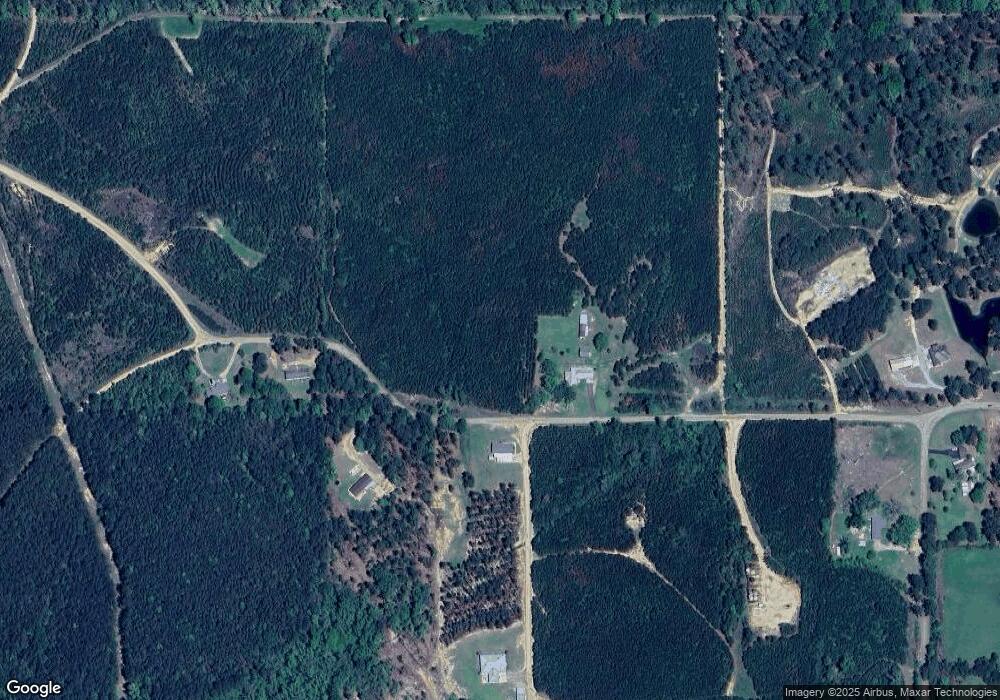
Map
Nearby Homes
- 00 Oil Field Ln NW
- 986 Dunn Ratcliff Rd NW
- 3050 James Dr NW
- 2657 James Dr NW
- 1378 Zetus Rd NW
- TBD Poplar Ridge Ln NW
- Arthur Dr NW
- 982 Dunn-Ratcliff Rd NW
- 1919 Arthur Dr NW
- 2215 Hwy 550
- 1338 Brookway Blvd
- 3025 James Dr NW
- 621 Felder Ln NE
- 0 NE Lakeview Dr Unit 4124904
- 0000 Mississippi 550
- 0 Mississippi 550
- 715 Ann St
- 1338b Brookway Blvd
- 713 Ann St
- ? Brookhaven St
- 1303 Sams Rd NW
- 1345 Sams Rd NW
- 1971 Oil Field Ln NW
- 1917 Oil Field Ln NW
- 1913 Oil Field Ln NW
- 1918 Oil Field Ln NW
- 1932 Oil Field Ln NW
- 0 Sams Rd NW
- 1254 Sams Rd NW
- 1815 Oil Field Ln NW
- 1900 Oil Field Ln NW
- 1843 Oil Field Ln NW
- 1849 Oil Field Ln NW
- 2002 Oil Field Ln NW
- 1847 Oil Field Ln NW
- 2023 Oil Field Ln NW
- 1892 Oil Field Ln NW
- 1819 Oil Field Ln NW
- 1872 Oil Field Ln NW
- 2035 Oil Field Ln NW