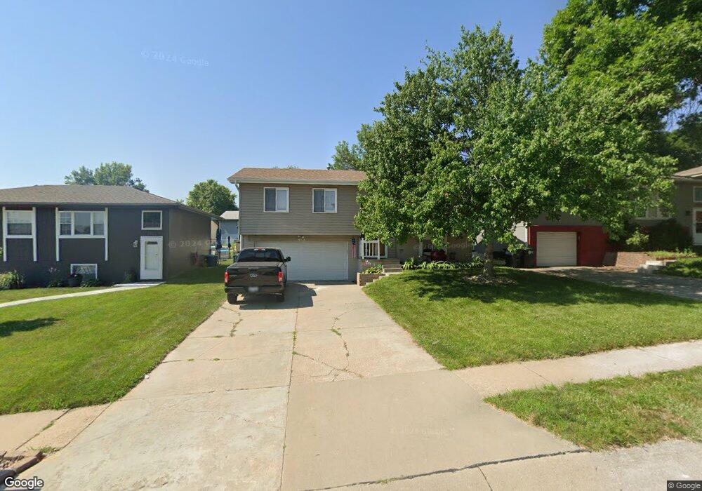
12967 Browne Cir Omaha, NE 68164
Greentree-Iron Ridge-Tranq NeighborhoodEstimated Value: $224,185 - $245,000
3
Beds
4
Baths
1,178
Sq Ft
$202/Sq Ft
Est. Value
About This Home
This home is located at 12967 Browne Cir, Omaha, NE 68164 and is currently estimated at $238,296, approximately $202 per square foot. 12967 Browne Cir is a home located in Douglas County with nearby schools including Fullerton Magnet Center, Alice Buffett Magnet Middle School, and St Vincent De Paul School.
Ownership History
Date
Name
Owned For
Owner Type
Purchase Details
Closed on
Mar 22, 2006
Sold by
Michael J Pile
Bought by
Trevor D Jones
Current Estimated Value
Purchase Details
Closed on
Oct 3, 2001
Sold by
Horst Alan D and Horst Brenda Lynn
Bought by
Pile Michael J and Pile Katie L
Home Financials for this Owner
Home Financials are based on the most recent Mortgage that was taken out on this home.
Original Mortgage
$100,992
Interest Rate
6.84%
Mortgage Type
FHA
Create a Home Valuation Report for This Property
The Home Valuation Report is an in-depth analysis detailing your home's value as well as a comparison with similar homes in the area
Home Values in the Area
Average Home Value in this Area
Purchase History
| Date | Buyer | Sale Price | Title Company |
|---|---|---|---|
| Trevor D Jones | $120,000 | -- | |
| Pile Michael J | $102,000 | -- |
Source: Public Records
Mortgage History
| Date | Status | Borrower | Loan Amount |
|---|---|---|---|
| Previous Owner | Pile Michael J | $100,992 |
Source: Public Records
Tax History Compared to Growth
Tax History
| Year | Tax Paid | Tax Assessment Tax Assessment Total Assessment is a certain percentage of the fair market value that is determined by local assessors to be the total taxable value of land and additions on the property. | Land | Improvement |
|---|---|---|---|---|
| 2025 | $2,862 | $205,500 | $19,500 | $186,000 |
| 2024 | $3,734 | $177,000 | $19,500 | $157,500 |
| 2023 | $3,734 | $177,000 | $19,500 | $157,500 |
| 2022 | $3,140 | $147,100 | $19,500 | $127,600 |
| 2021 | $2,735 | $129,200 | $19,500 | $109,700 |
| 2020 | $2,588 | $120,900 | $19,500 | $101,400 |
| 2019 | $2,381 | $110,900 | $19,500 | $91,400 |
| 2018 | $2,385 | $110,900 | $19,500 | $91,400 |
| 2017 | $2,245 | $103,900 | $19,500 | $84,400 |
| 2016 | $2,135 | $99,500 | $12,800 | $86,700 |
| 2015 | $1,969 | $93,000 | $12,000 | $81,000 |
| 2014 | $1,969 | $93,000 | $12,000 | $81,000 |
Source: Public Records
Map
Nearby Homes
- 12933 Camden Ave
- 4723 N 134th Ave
- 4912 N 134th St
- 12729 Fowler Cir
- 12805 Ogden St
- 4636 N 126th Ave
- 5417 N 134th Ave
- 4614 N 126th Ave
- 5127 N 135th Ave
- 13222 Ellison Ave
- 4910 N 136th St
- 13318 Hillsborough Dr
- 5121 N 137th St
- 4210 N 130th Cir
- 4714 N 136th St
- 13708 Camden Ave
- 12946 Himebaugh Ave
- 12821 Glenvale Plaza Unit 178
- 4633 N 139th Ave
- 12809 Manderson Plaza
- 12971 Browne Cir
- 12959 Browne Cir
- 12975 Browne Cir
- 12959 Browne Cir
- 12980 Redman Cir
- 12984 Redman Cir
- 12976 Redman Cir
- 12988 Redman Cir
- 13005 Browne Cir
- 12955 Browne Cir
- 12970 Browne Cir
- 12966 Browne Cir
- 12974 Browne Cir
- 12962 Browne Cir
- 12992 Redman Cir
- 12968 Redman Cir
- 12978 Browne Cir
- 13011 Browne Cir
- 12958 Browne Cir
- 13006 Browne Cir