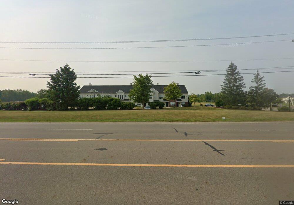
12967 Townsend Dr Unit A Grand Ledge, MI 48837
Estimated Value: $162,524 - $187,000
--
Bed
1
Bath
--
Sq Ft
--
Built
About This Home
This home is located at 12967 Townsend Dr Unit A, Grand Ledge, MI 48837 and is currently estimated at $171,381. 12967 Townsend Dr Unit A is a home located in Eaton County with nearby schools including Willow Ridge Elementary School, Leon W. Hayes Middle School, and Grand Ledge High School.
Ownership History
Date
Name
Owned For
Owner Type
Purchase Details
Closed on
Jul 8, 2025
Sold by
Longworth Robin
Bought by
Robin Leigh Longworth Living Trust
Current Estimated Value
Purchase Details
Closed on
Jan 4, 2024
Sold by
Deprez Amy
Bought by
Longworth Robin
Purchase Details
Closed on
Mar 4, 2022
Sold by
Tiedt Patrick A
Bought by
Deprez Amy B
Home Financials for this Owner
Home Financials are based on the most recent Mortgage that was taken out on this home.
Original Mortgage
$78,000
Interest Rate
3.92%
Mortgage Type
New Conventional
Purchase Details
Closed on
Apr 4, 2019
Sold by
Fittante Martin F and Fittante Lisa I
Bought by
Tiedt Patrick A
Home Financials for this Owner
Home Financials are based on the most recent Mortgage that was taken out on this home.
Original Mortgage
$74,800
Interest Rate
4.3%
Mortgage Type
New Conventional
Create a Home Valuation Report for This Property
The Home Valuation Report is an in-depth analysis detailing your home's value as well as a comparison with similar homes in the area
Home Values in the Area
Average Home Value in this Area
Purchase History
| Date | Buyer | Sale Price | Title Company |
|---|---|---|---|
| Robin Leigh Longworth Living Trust | -- | None Listed On Document | |
| Robin Leigh Longworth Living Trust | -- | None Listed On Document | |
| Longworth Robin | $15,000 | None Listed On Document | |
| Longworth Robin | $15,000 | None Listed On Document | |
| Deprez Amy B | $157,950 | Transnation Title | |
| Tiedt Patrick A | $94,400 | Liberty Title |
Source: Public Records
Mortgage History
| Date | Status | Borrower | Loan Amount |
|---|---|---|---|
| Previous Owner | Deprez Amy B | $78,000 | |
| Previous Owner | Tiedt Patrick A | $74,800 |
Source: Public Records
Tax History Compared to Growth
Tax History
| Year | Tax Paid | Tax Assessment Tax Assessment Total Assessment is a certain percentage of the fair market value that is determined by local assessors to be the total taxable value of land and additions on the property. | Land | Improvement |
|---|---|---|---|---|
| 2025 | $214 | $7,200 | $0 | $0 |
| 2024 | $112 | $5,400 | $0 | $0 |
| 2023 | $105 | $5,200 | $0 | $0 |
| 2022 | $150 | $4,400 | $0 | $0 |
| 2021 | $143 | $4,200 | $0 | $0 |
| 2020 | $142 | $3,900 | $0 | $0 |
| 2019 | $117 | $3,678 | $0 | $0 |
| 2018 | $167 | $3,700 | $0 | $0 |
| 2017 | $164 | $3,500 | $0 | $0 |
| 2016 | -- | $3,500 | $0 | $0 |
| 2015 | -- | $3,200 | $0 | $0 |
| 2014 | -- | $3,000 | $0 | $0 |
| 2013 | -- | $3,100 | $0 | $0 |
Source: Public Records
Map
Nearby Homes
- 12967 Townsend Dr Unit 211
- 12967 Townsend Dr Unit 711
- 6694 Castleton Dr
- 6784 Cotswald Dr Unit 106
- 7051 E Saginaw Hwy
- 6422 E Saginaw Hwy
- The Brinley Plan at Village Place - Hometown Series
- The Amber Plan at Village Place - Hometown Series
- The Wisteria Plan at Village Place - Americana Series
- The Preston Plan at Village Place - Americana Series
- The Sanibel Plan at Village Place - Americana Series
- The Georgetown Plan at Village Place - Hometown Series
- The Grayson Plan at Village Place - Americana Series
- The Taylor Plan at Village Place - Hometown Series
- The Stafford Plan at Village Place - Hometown Series
- The Stockton Plan at Village Place - Hometown Series
- The Rowen Plan at Village Place - Hometown Series
- 7282 E Saginaw Hwy
- 11350 Traverse Dr
- 11304 Carousel Dr
- 12967 Townsend Dr Unit 712
- 12967 Townsend Dr Unit 612
- 12967 Townsend Dr Unit 412
- 12967 Townsend Dr Unit 212
- 12967 Townsend Dr Unit 112
- 12967 Townsend Dr Unit 811
- 12967 Townsend Dr Unit 611
- 12967 Townsend Dr Unit 511
- 12967 Townsend Dr Unit 411
- 12967 Townsend Dr Unit 311
- 12967 Townsend Dr Unit 111
- 12967 Townsend Dr Unit D
- 12967 Townsend Dr Unit C
- 12967 Townsend Dr Unit B
- 12967 Townsend Dr Unit 812
- 12967 Townsend Dr Unit 61
- 12967 Townsend Dr
- 12947 Townsend Dr Unit 13
- 12947 Townsend Dr