12968 61st Ave SW Motley, MN 56466
Estimated Value: $465,000
3
Beds
2
Baths
1,120
Sq Ft
$415/Sq Ft
Est. Value
About This Home
This home is located at 12968 61st Ave SW, Motley, MN 56466 and is currently estimated at $465,000, approximately $415 per square foot. 12968 61st Ave SW is a home with nearby schools including Staples Motley Senior High School.
Ownership History
Date
Name
Owned For
Owner Type
Purchase Details
Closed on
May 27, 2021
Sold by
Anderson Peggy J
Bought by
Peggy J Anderson T
Current Estimated Value
Purchase Details
Closed on
Sep 16, 2019
Sold by
Anderson Robert G and Anderson Peggy J
Bought by
Germann Johnathan P
Purchase Details
Closed on
Apr 11, 2014
Sold by
Anderson Robert G and Anderson Peggy J
Bought by
Swartz Richard
Purchase Details
Closed on
May 20, 2011
Sold by
Anderson Robert Glen and Anderson Peggy Jean
Bought by
Danielowski Patricia R and Mcgregor Ellen M
Create a Home Valuation Report for This Property
The Home Valuation Report is an in-depth analysis detailing your home's value as well as a comparison with similar homes in the area
Home Values in the Area
Average Home Value in this Area
Purchase History
| Date | Buyer | Sale Price | Title Company |
|---|---|---|---|
| Peggy J Anderson T | -- | None Available | |
| Anderson Peggy J | -- | None Available | |
| Germann Johnathan P | -- | -- | |
| Swartz Richard | -- | Cygneture Title&Abstract Inc | |
| Danielowski Patricia R | -- | None Available |
Source: Public Records
Tax History Compared to Growth
Tax History
| Year | Tax Paid | Tax Assessment Tax Assessment Total Assessment is a certain percentage of the fair market value that is determined by local assessors to be the total taxable value of land and additions on the property. | Land | Improvement |
|---|---|---|---|---|
| 2024 | $1,650 | $425,000 | $218,900 | $206,100 |
| 2023 | $2,338 | $337,200 | $128,100 | $209,100 |
| 2022 | $2,306 | $337,200 | $128,100 | $209,100 |
| 2021 | $1,680 | $255,900 | $94,100 | $161,800 |
| 2020 | $1,604 | $231,300 | $90,800 | $140,500 |
| 2019 | $1,202 | $233,300 | $92,200 | $141,100 |
| 2018 | $892 | $194,500 | $92,200 | $102,300 |
| 2017 | $980 | $194,500 | $92,200 | $102,300 |
| 2016 | $850 | $0 | $0 | $0 |
| 2015 | $850 | $203,800 | $91,300 | $112,500 |
| 2014 | $922 | $0 | $0 | $0 |
Source: Public Records
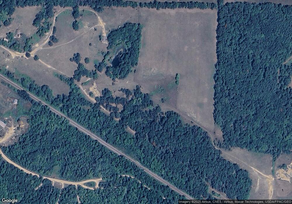
Map
Nearby Homes
- 12639 65th Ave SW
- TBD Azalea Rd
- 716 Cedar Ln
- 33916 Twin Oaks Loop
- XXX Aztec Rd
- 33395 464th St
- 4211 Crow Wing Cir SW
- 4224 Crow Wing Cir SW
- 4209 State 210 SW
- Parcel D 112th St SW
- Parcel C 112th St SW
- Parcel B 112th St SW
- Parcel A 112th St SW
- L5 B1 Ridge Rd
- L3 B2 Ridge Rd
- 12038 Spring Rd SW
- Parcel 9 Spring Rd
- TBD Gumwood Ln
- TBD Sherwood Dr SW
- TBD Pillager Creek Trail SW
- 12966 61st Ave SW
- 13042 Deborah Ln SW
- 12964 61st Ave SW
- 12964 61st Ave SW
- 13095 Deborah Ln SW
- 13033 Deborah Ln SW
- 13097 Deborah Ln SW
- 13097 Deborah Ln SW
- 13021 13021 Deborah-Lane-sw
- 13059 Deborah Ln SW
- 13093 Deborah Ln SW
- 13079 Deborah Ln SW
- 13021 Deborah Ln SW
- 13043 Deborah Ln SW
- 13101 Deborah Ln SW
- 13011 Deborah Ln SW
- 13055 Deborah Ln SW
- 13053 Deborah Ln SW
- 13001 Deborah Ln SW
- 13107 Deborah Ln SW