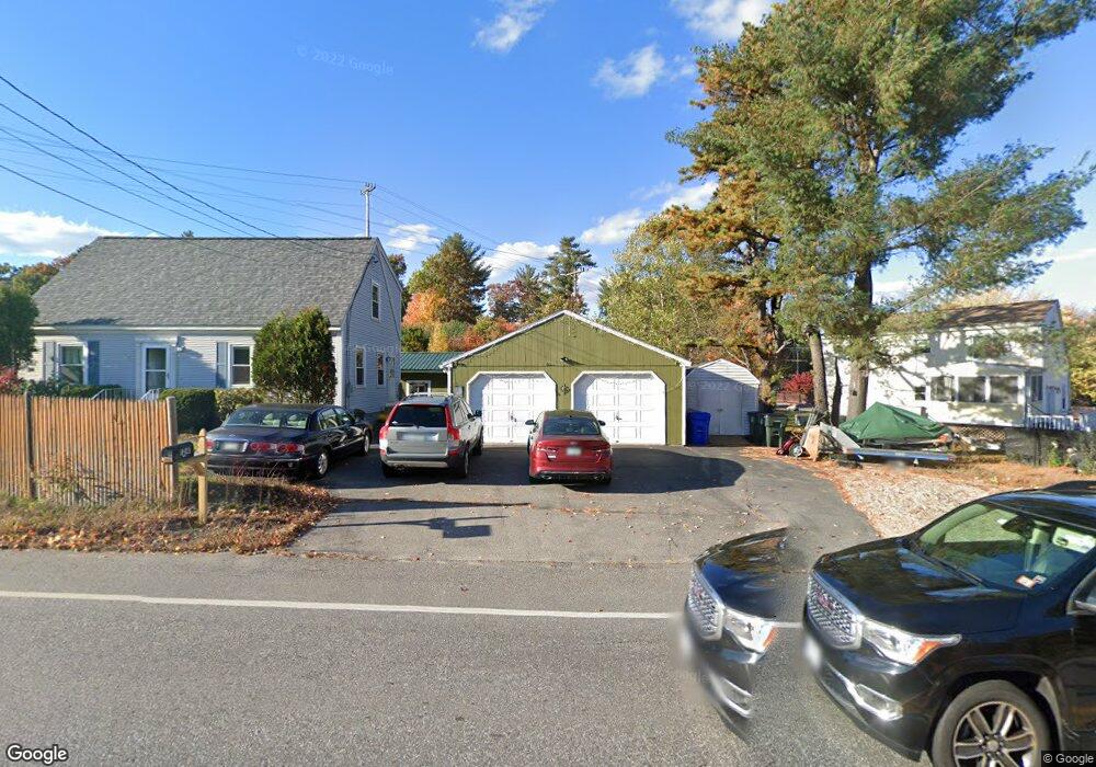
1297 Goffstown Rd Manchester, NH 03102
Northwest Manchester NeighborhoodEstimated Value: $401,000 - $473,000
3
Beds
2
Baths
1,314
Sq Ft
$327/Sq Ft
Est. Value
About This Home
This home is located at 1297 Goffstown Rd, Manchester, NH 03102 and is currently estimated at $430,119, approximately $327 per square foot. 1297 Goffstown Rd is a home located in Hillsborough County with nearby schools including Northwest Elementary School, Middle School at Parkside, and Manchester West High School.
Ownership History
Date
Name
Owned For
Owner Type
Purchase Details
Closed on
Aug 19, 1999
Sold by
Cloutier Brian A
Bought by
Charron Michael V and Charron Johanne C
Current Estimated Value
Home Financials for this Owner
Home Financials are based on the most recent Mortgage that was taken out on this home.
Original Mortgage
$30,000
Outstanding Balance
$8,587
Interest Rate
7.6%
Estimated Equity
$421,532
Create a Home Valuation Report for This Property
The Home Valuation Report is an in-depth analysis detailing your home's value as well as a comparison with similar homes in the area
Home Values in the Area
Average Home Value in this Area
Purchase History
| Date | Buyer | Sale Price | Title Company |
|---|---|---|---|
| Charron Michael V | $60,000 | -- |
Source: Public Records
Mortgage History
| Date | Status | Borrower | Loan Amount |
|---|---|---|---|
| Open | Charron Michael V | $30,000 |
Source: Public Records
Tax History
| Year | Tax Paid | Tax Assessment Tax Assessment Total Assessment is a certain percentage of the fair market value that is determined by local assessors to be the total taxable value of land and additions on the property. | Land | Improvement |
|---|---|---|---|---|
| 2024 | $5,668 | $289,500 | $104,900 | $184,600 |
| 2023 | $5,460 | $289,500 | $104,900 | $184,600 |
| 2022 | $5,280 | $289,500 | $104,900 | $184,600 |
| 2021 | $5,118 | $289,500 | $104,900 | $184,600 |
| 2020 | $4,885 | $198,100 | $76,100 | $122,000 |
| 2019 | $4,818 | $198,100 | $76,100 | $122,000 |
| 2018 | $4,691 | $198,100 | $76,100 | $122,000 |
| 2017 | $4,620 | $198,100 | $76,100 | $122,000 |
| 2016 | $4,584 | $198,100 | $76,100 | $122,000 |
| 2015 | $4,566 | $194,800 | $76,100 | $118,700 |
| 2014 | $4,578 | $194,800 | $76,100 | $118,700 |
| 2013 | $4,416 | $194,800 | $76,100 | $118,700 |
Source: Public Records
Map
Nearby Homes
- 2 Shore Dr
- 36 English Village Rd Unit 202
- 89 Moose Club Park Rd
- 405 Upland St
- 11-1 Chatel Rd
- 11 E Dunbarton Rd
- 114 Mast Rd
- 428 Reed St
- 962 Montgomery St
- 73 River Ledge Dr
- 3 Timberwood Dr Unit 301
- 6 Mustang Ct
- 329 Front St
- 19 Country Club Dr Unit 39
- 23 Country Club Dr Unit 1023
- 227 Laval St
- 4C Dearborn Cir
- 523 Coolidge Ave
- 4B Dearborn Cir
- 5B Dearborn Cir
- 54 Legacy Dr
- 1315 Goffstown Rd
- 25 Legacy Dr
- 1330 Goffstown Rd
- 1280 Goffstown Rd
- 1270 Goffstown Rd
- 1241 Goffstown Rd
- 35 Legacy Dr
- Map 890 Lot 0006b Straw
- 55 Legacy Dr
- 75 Legacy Dr
- 1246 Goffstown Rd
- 94 Legacy Dr
- 675 Straw Rd
- 797 Straw Rd
- 33 Duncan Farms
- 1336 Goffstown Rd
- 28 Duncan Farms
- 1333 Goffstown Rd
- 111 Legacy Dr
Your Personal Tour Guide
Ask me questions while you tour the home.