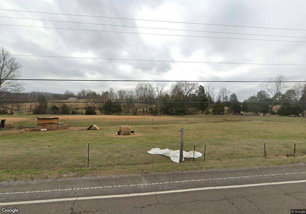
1297 Highway 30 W Athens, TN 37303
Estimated Value: $137,000 - $287,000
--
Bed
1
Bath
1,056
Sq Ft
$221/Sq Ft
Est. Value
About This Home
This home is located at 1297 Highway 30 W, Athens, TN 37303 and is currently estimated at $233,667, approximately $221 per square foot. 1297 Highway 30 W is a home located in McMinn County.
Ownership History
Date
Name
Owned For
Owner Type
Purchase Details
Closed on
May 30, 2001
Sold by
Matthews and Margaret
Bought by
Laymance Janet R
Current Estimated Value
Purchase Details
Closed on
Jun 17, 1996
Sold by
Construct Clifford Hampton
Bought by
Gary Newman and Gary Shy
Purchase Details
Closed on
Aug 15, 1995
Bought by
Calvin Womac
Purchase Details
Closed on
Jul 14, 1995
Sold by
Bud Cash
Bought by
Charles Langely
Purchase Details
Closed on
Dec 27, 1994
Sold by
Dewey Wilson
Bought by
Jeffrey Coleman
Purchase Details
Closed on
Dec 17, 1991
Bought by
Swafford Sudie
Purchase Details
Closed on
May 26, 1989
Bought by
Swafford Rondal and Linda Ann
Create a Home Valuation Report for This Property
The Home Valuation Report is an in-depth analysis detailing your home's value as well as a comparison with similar homes in the area
Home Values in the Area
Average Home Value in this Area
Purchase History
| Date | Buyer | Sale Price | Title Company |
|---|---|---|---|
| Laymance Janet R | -- | -- | |
| Gary Newman | $30,000 | -- | |
| Calvin Womac | $55,000 | -- | |
| Charles Langely | $14,500 | -- | |
| Jeffrey Coleman | $2,000 | -- | |
| Swafford Sudie | $5,500 | -- | |
| Swafford Rondal | $5,500 | -- |
Source: Public Records
Tax History Compared to Growth
Tax History
| Year | Tax Paid | Tax Assessment Tax Assessment Total Assessment is a certain percentage of the fair market value that is determined by local assessors to be the total taxable value of land and additions on the property. | Land | Improvement |
|---|---|---|---|---|
| 2025 | $318 | $29,275 | $0 | $0 |
| 2024 | $318 | $29,425 | $9,300 | $20,125 |
| 2023 | $318 | $29,425 | $9,300 | $20,125 |
| 2022 | $343 | $22,150 | $9,300 | $12,850 |
| 2021 | $343 | $22,150 | $9,300 | $12,850 |
| 2020 | $343 | $22,150 | $9,300 | $12,850 |
| 2019 | $337 | $21,775 | $9,300 | $12,475 |
| 2018 | $337 | $21,775 | $9,300 | $12,475 |
| 2017 | $313 | $19,350 | $8,550 | $10,800 |
| 2016 | $313 | $19,350 | $8,550 | $10,800 |
| 2015 | -- | $19,350 | $8,550 | $10,800 |
| 2014 | $312 | $19,342 | $0 | $0 |
Source: Public Records
Map
Nearby Homes
- 333 County Road 184
- 185 County Road 179
- 166 County Road 168
- 130 County Road 124
- 169 County Road 188
- 2 County Road 121
- 0 County Rd 121 Lot 3 10 6 Ac
- 0 County Rd 121 17 6 Ac Unit 1310787
- 0
- 104 County Road 169
- 63 County Road 100
- 190 Sims Rd
- 198 County Road 128
- 780 County Road 116
- 0 Denso Dr Unit RTC3014670
- 0 Denso Dr Unit 1522126
- 838 County Road 105
- 1031 County Road 110
- 12274 N Nopone Valley Rd
- 789 County Road 172
- 909 County Road 119
- 136 County Road 105
- 100 County Road 105
- 8 County Road 105
- 6 County Road 105
- 5 County Road 105
- 4 County Road 105
- 895 County Road 119
- 934 County Road 119
- 952 County Road 119
- 125 County Road 105
- 981 County Road 119
- 981 County Road 119
- 1275 Highway 30 W
- 151 County Road 105
- 809 County Road 119 Unit 805
- 135 County Road 105
- 135 County Road 105
- 164 County Road 105
- 0 Hwy 30 Co Rd 180 Unit 874034
