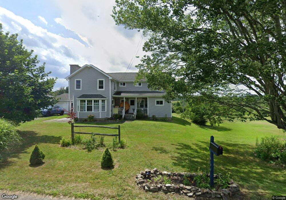
1297 Martin Hill Rd Corning, NY 14830
Estimated Value: $265,337 - $383,000
4
Beds
1
Bath
2,383
Sq Ft
$127/Sq Ft
Est. Value
About This Home
This home is located at 1297 Martin Hill Rd, Corning, NY 14830 and is currently estimated at $302,834, approximately $127 per square foot. 1297 Martin Hill Rd is a home located in Steuben County with nearby schools including Frederick Carder Elementary School, Corning-Painted Post Middle School, and Corning-Painted Post High School.
Ownership History
Date
Name
Owned For
Owner Type
Purchase Details
Closed on
Sep 25, 2007
Sold by
Grewell Keith
Bought by
Onterman Jeremiah I
Current Estimated Value
Purchase Details
Closed on
May 31, 2005
Sold by
Mcneill James P Barbara L
Bought by
Grewell Keith
Purchase Details
Closed on
Feb 26, 2003
Sold by
Salomon Brothers Realty Corp
Bought by
Mcneill James P
Purchase Details
Closed on
Jul 17, 2002
Sold by
Green Dorathea
Bought by
Salomon Brothers Realty Corp
Create a Home Valuation Report for This Property
The Home Valuation Report is an in-depth analysis detailing your home's value as well as a comparison with similar homes in the area
Home Values in the Area
Average Home Value in this Area
Purchase History
| Date | Buyer | Sale Price | Title Company |
|---|---|---|---|
| Onterman Jeremiah I | $150,000 | Stephen Rossettie | |
| Grewell Keith | $139,900 | Philip Roche | |
| Mcneill James P | $25,000 | John R Bloise | |
| Salomon Brothers Realty Corp | $68,573 | Barry R Carus |
Source: Public Records
Tax History Compared to Growth
Tax History
| Year | Tax Paid | Tax Assessment Tax Assessment Total Assessment is a certain percentage of the fair market value that is determined by local assessors to be the total taxable value of land and additions on the property. | Land | Improvement |
|---|---|---|---|---|
| 2024 | $6,317 | $152,500 | $28,000 | $124,500 |
| 2023 | $6,317 | $152,500 | $28,000 | $124,500 |
| 2022 | $6,023 | $152,500 | $28,000 | $124,500 |
| 2021 | $6,082 | $152,500 | $28,000 | $124,500 |
| 2020 | $3,442 | $152,500 | $28,000 | $124,500 |
| 2019 | $4,843 | $152,500 | $28,000 | $124,500 |
| 2018 | $4,843 | $152,500 | $28,000 | $124,500 |
| 2017 | $4,861 | $152,500 | $28,000 | $124,500 |
| 2016 | $4,746 | $152,500 | $28,000 | $124,500 |
| 2015 | -- | $141,500 | $34,200 | $107,300 |
| 2014 | -- | $141,500 | $34,200 | $107,300 |
Source: Public Records
Map
Nearby Homes
- 10843 Caton Crescent
- 1536 Thurber Rd
- 10939 Tannery Creek Rd
- 1594 Thurber Rd
- 1238 Caton Rd
- 11014 Wolcott Rd
- 825 Deyo Rd
- 0 Caton Rd Unit R1640864
- 0 Caton Rd Unit R1637646
- 1964 Spencer Hill Rd
- 0 Davis Rd
- 1860 Whiskey Creek Rd
- 10861 Hidden Meadow Trail
- 0 Welty Rd Unit LotWP003 23042126
- 0 Welch Rd
- 9548 Tannery Creek Rd
- 10203 Steamtown Rd
- 10502 Skyline Dr
- 10614 Skyline Dr
- 1735 Lightfoot Ln
- 1311 Martin Hill Rd
- 1251 Martin Hill Rd
- 0 Martin Hill Rd
- 1351 Martin Hill Rd
- 1325A Martin Hill Rd
- 1325 Martin Hill Rd
- 1325B Martin Hill Rd
- 10672 Richards Rd
- 1399 Martin Hill Rd
- 10685 Richards Rd
- 1404 Martin Hill Rd
- 1403 Martin Hill Rd
- 10710 Richards Rd
- 10715 Richards Rd
- 1418 Martin Hill Rd
- 1179 Martin Hill Rd
- 10558 Cheese Factory Rd Unit B
- 10720 Richards Rd
- 1438 Martin Hill Rd
- 10510 Cheese Factory Rd