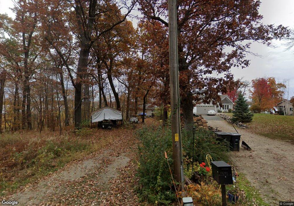
12970 182nd St N Scandia, MN 55073
Estimated Value: $374,000 - $1,200,814
4
Beds
2
Baths
864
Sq Ft
$911/Sq Ft
Est. Value
About This Home
This home is located at 12970 182nd St N, Scandia, MN 55073 and is currently estimated at $787,407, approximately $911 per square foot. 12970 182nd St N is a home with nearby schools including Scandia Elementary School, Forest Lake Area Middle School, and Forest Lake Area High School.
Ownership History
Date
Name
Owned For
Owner Type
Purchase Details
Closed on
Jan 27, 2021
Sold by
Blehert Michael Lawrence and Blehert Susan Pikelny
Bought by
Blehert Family Revocable Trust
Current Estimated Value
Purchase Details
Closed on
Jan 1, 2021
Sold by
Blehert Michael Lawrence and Blehert Susan Pikelny
Bought by
Blehert Family Revocable Trust
Purchase Details
Closed on
Mar 19, 2020
Sold by
Blehert David Marc and Kochn Deborah
Bought by
Blehert Michael Lawrence
Purchase Details
Closed on
Jun 14, 2016
Sold by
Blehert Robert Merrill
Bought by
Blehert Michael Lawrence
Purchase Details
Closed on
May 15, 2015
Sold by
Blehert Maurice Dean and Blehert Pam
Bought by
Blehert Michael Lawrence
Purchase Details
Closed on
Aug 28, 2013
Sold by
Johnson Mildred Jane and Johnson Jerry Lee
Bought by
Blehert Michael Lawrence
Create a Home Valuation Report for This Property
The Home Valuation Report is an in-depth analysis detailing your home's value as well as a comparison with similar homes in the area
Home Values in the Area
Average Home Value in this Area
Purchase History
| Date | Buyer | Sale Price | Title Company |
|---|---|---|---|
| Blehert Family Revocable Trust | -- | None Available | |
| Blehert Family Revocable Trust | $3,000 | None Listed On Document | |
| Blehert Michael Lawrence | -- | None Available | |
| Blehert Michael Lawrence | -- | None Available | |
| Blehert Michael Lawrence | -- | None Available | |
| Blehert Michael Lawrence | -- | None Available |
Source: Public Records
Tax History Compared to Growth
Tax History
| Year | Tax Paid | Tax Assessment Tax Assessment Total Assessment is a certain percentage of the fair market value that is determined by local assessors to be the total taxable value of land and additions on the property. | Land | Improvement |
|---|---|---|---|---|
| 2024 | $4,150 | $456,900 | $301,000 | $155,900 |
| 2023 | $4,150 | $762,400 | $616,400 | $146,000 |
| 2022 | $4,632 | $556,700 | $413,900 | $142,800 |
| 2021 | $4,316 | $444,600 | $330,600 | $114,000 |
| 2020 | $4,108 | $410,700 | $300,600 | $110,100 |
| 2019 | $3,606 | $380,700 | $274,700 | $106,000 |
| 2018 | $3,660 | $326,800 | $230,600 | $96,200 |
| 2017 | $3,838 | $317,100 | $230,600 | $86,500 |
| 2016 | $3,818 | $313,700 | $230,600 | $83,100 |
| 2015 | $3,766 | $340,900 | $249,000 | $91,900 |
| 2013 | -- | $277,800 | $210,000 | $67,800 |
Source: Public Records
Map
Nearby Homes
- 18070 Olinda Trail N
- 12697 177th St N
- 19311 (Xxx) Newgate Ave N
- 19237 Meadowridge Ln N
- 13128 170th St N
- 19219 Meadowridge Trail N
- 19230 Meadowridge Trail N
- 19177 Meadowridge Trail N
- 19320 Meadowridge Trail N
- xxx Orwell Rd N
- 14273 Old Marine Trail N
- 20xxx Maxwill Ave N
- 19235 Larkspur Ave N
- 19085 Manning Trail N
- 10400 180th Street Ln N
- 13885 205th St N
- 13975 205th St N
- 13925 205th St N
- 13835 205th St N
- 20170 Oxboro Ln N
- 12988 182nd St N
- 13000 182nd St N
- 12988 12988 182nd St N
- 13030 182nd St N
- 12969 182nd St N
- 13050 182nd St N
- 12925 182nd St N
- 13070 182nd St N
- 13080 182nd St N
- 13080 182nd St N
- 12880 182nd St N
- 12880 12880 182nd St N
- 13047 182nd St N
- 12885 182nd St N
- 12850 182nd St N
- 13090 182nd St N
- 13100 182nd St N
- 12810 182nd St N
- 13110 182nd St N
- 12780 182nd St N