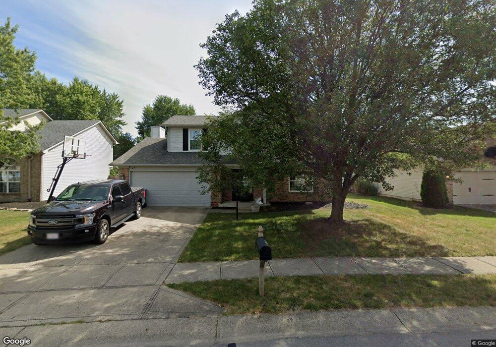
12971 Dellinger Dr Fishers, IN 46038
Estimated Value: $340,000 - $380,000
4
Beds
3
Baths
2,025
Sq Ft
$176/Sq Ft
Est. Value
About This Home
This home is located at 12971 Dellinger Dr, Fishers, IN 46038 and is currently estimated at $355,717, approximately $175 per square foot. 12971 Dellinger Dr is a home located in Hamilton County with nearby schools including Cumberland Road Elementary School, Fishers Junior High School, and Sand Creek Intermediate School.
Ownership History
Date
Name
Owned For
Owner Type
Purchase Details
Closed on
Aug 28, 2023
Sold by
Hall Timothy A
Bought by
Hall Family Trust and Hall
Current Estimated Value
Purchase Details
Closed on
Aug 6, 2004
Sold by
Marko William S and Marko Tamara L
Bought by
Hall Timothy A and Hall Danette R
Home Financials for this Owner
Home Financials are based on the most recent Mortgage that was taken out on this home.
Original Mortgage
$121,600
Interest Rate
6.1%
Mortgage Type
Purchase Money Mortgage
Create a Home Valuation Report for This Property
The Home Valuation Report is an in-depth analysis detailing your home's value as well as a comparison with similar homes in the area
Home Values in the Area
Average Home Value in this Area
Purchase History
We collect this data history from publicly available records. To have your information removed, we recommend requesting removal directly through your county’s website.
| Date | Buyer | Sale Price | Title Company |
|---|---|---|---|
| Hall Family Trust | -- | None Listed On Document | |
| Hall Timothy A | -- | -- |
Source: Public Records
Mortgage History
We collect this data history from publicly available records. To have your information removed, we recommend requesting removal directly through your county’s website.
| Date | Status | Borrower | Loan Amount |
|---|---|---|---|
| Previous Owner | Hall Timothy A | $121,600 |
Source: Public Records
Tax History
| Year | Tax Paid | Tax Assessment Tax Assessment Total Assessment is a certain percentage of the fair market value that is determined by local assessors to be the total taxable value of land and additions on the property. | Land | Improvement |
|---|---|---|---|---|
| 2025 | $3,121 | $292,400 | $54,600 | $237,800 |
| 2024 | $2,835 | $278,600 | $37,800 | $240,800 |
| 2023 | $2,835 | $265,500 | $37,800 | $227,700 |
| 2022 | $2,880 | $244,100 | $37,800 | $206,300 |
| 2021 | $2,304 | $200,100 | $37,800 | $162,300 |
| 2020 | $1,991 | $182,800 | $37,800 | $145,000 |
| 2019 | $1,902 | $176,200 | $34,400 | $141,800 |
| 2018 | $1,745 | $165,700 | $34,400 | $131,300 |
| 2017 | $1,600 | $157,200 | $34,400 | $122,800 |
| 2016 | $1,529 | $153,000 | $34,400 | $118,600 |
| 2014 | $1,328 | $144,900 | $36,800 | $108,100 |
| 2013 | $1,328 | $146,200 | $36,800 | $109,400 |
Source: Public Records
Map
Nearby Homes
- 12843 Glengary Dr
- 12839 Glengary Dr
- 11798 & 11842 E 131st St
- 12991 Wingstem Ct
- 13191 Sweet Briar Pkwy
- 10165 Bootham Close
- 12948 Shandon Ln
- 9986 Donavan Ln
- 13048 Ross Crossing
- 9646 Ladson St
- 12706 Brewton St
- 9683 Legare St
- 12673 Ladson St
- 10632 Ashview Dr
- 13028 Veon Dr
- 10113 Parkshore Dr
- 9932 Parkshore Dr
- 12638 Granite Ridge Cir
- 9963 Parkshore Dr
- 12783 Granite Ridge Cir
- 12965 Dellinger Dr
- 12977 Dellinger Dr
- 12959 Dellinger Dr
- 12948 Sinclair Place
- 12958 Sinclair Place
- 13015 Teesdale Ct
- 12938 Sinclair Place
- 12968 Sinclair Place
- 12978 Dellinger Dr
- 12964 Dellinger Dr
- 12951 Dellinger Dr
- 13017 Teesdale Ct
- 12928 Sinclair Place
- 12988 Sinclair Place
- 12960 Dellinger Dr
- 12943 Dellinger Dr
- 13021 Teesdale Ct
- 12918 Sinclair Place
- 12950 Dellinger Dr
- 12982 Dellinger Dr
Your Personal Tour Guide
Ask me questions while you tour the home.