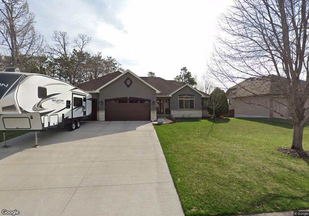
12973 Bluebird St NW Coon Rapids, MN 55448
Estimated Value: $539,136 - $590,000
4
Beds
3
Baths
1,920
Sq Ft
$297/Sq Ft
Est. Value
About This Home
This home is located at 12973 Bluebird St NW, Coon Rapids, MN 55448 and is currently estimated at $569,284, approximately $296 per square foot. 12973 Bluebird St NW is a home located in Anoka County with nearby schools including Sand Creek Elementary School, Coon Rapids Middle School, and Coon Rapids Senior High School.
Ownership History
Date
Name
Owned For
Owner Type
Purchase Details
Closed on
Apr 21, 2017
Sold by
Pap Joyce M
Bought by
Tiegs Brian and Tiegs Kari
Current Estimated Value
Home Financials for this Owner
Home Financials are based on the most recent Mortgage that was taken out on this home.
Original Mortgage
$300,000
Outstanding Balance
$249,645
Interest Rate
4.21%
Mortgage Type
New Conventional
Estimated Equity
$319,639
Purchase Details
Closed on
Dec 22, 2004
Sold by
Medalist Homes Inc
Bought by
Pap Delmar and Pap Joyce
Create a Home Valuation Report for This Property
The Home Valuation Report is an in-depth analysis detailing your home's value as well as a comparison with similar homes in the area
Home Values in the Area
Average Home Value in this Area
Purchase History
| Date | Buyer | Sale Price | Title Company |
|---|---|---|---|
| Tiegs Brian | $375,000 | Home Title Inc | |
| Pap Delmar | $428,546 | -- |
Source: Public Records
Mortgage History
| Date | Status | Borrower | Loan Amount |
|---|---|---|---|
| Open | Tiegs Brian | $300,000 |
Source: Public Records
Tax History Compared to Growth
Tax History
| Year | Tax Paid | Tax Assessment Tax Assessment Total Assessment is a certain percentage of the fair market value that is determined by local assessors to be the total taxable value of land and additions on the property. | Land | Improvement |
|---|---|---|---|---|
| 2025 | $5,000 | $492,300 | $115,000 | $377,300 |
| 2024 | $5,000 | $465,000 | $110,000 | $355,000 |
| 2023 | $4,832 | $532,800 | $105,000 | $427,800 |
| 2022 | $4,824 | $487,400 | $105,000 | $382,400 |
| 2021 | $4,551 | $428,700 | $100,000 | $328,700 |
| 2020 | $4,680 | $395,500 | $85,000 | $310,500 |
| 2019 | $4,621 | $389,500 | $75,000 | $314,500 |
| 2018 | $4,434 | $373,600 | $0 | $0 |
| 2017 | $4,383 | $348,300 | $0 | $0 |
| 2016 | $4,458 | $335,500 | $0 | $0 |
| 2015 | $4,410 | $335,500 | $55,700 | $279,800 |
| 2014 | -- | $308,800 | $61,700 | $247,100 |
Source: Public Records
Map
Nearby Homes
- 1520 129th Ave NW
- 12796 Bluebird St NW
- 12859 Grouse St NW
- 1234 128th Cir NW
- 1687 131st Ln NW
- 1450 126th Ln NW
- 1593 126th Ln NW
- 12554 Grouse St NW
- 1776 133rd Ave NW
- 1930 127th Cir NW
- 12463 Drake St NW
- 1625 124th Ave NW
- 12488 Unity St NW
- 12365 Jay St NW
- 12760 Raven St NW
- 899 123rd Ln NW
- 2147 125th Ln NW
- 1727 121st Ln NW
- 13519 Partridge Cir NW
- 13416 Swallow St NW
- 12959 Bluebird St NW
- 12987 Bluebird St NW
- 12978 Avocet St NW
- 12978 Avocet St NW
- 12964 Avocet St NW
- 12964 Avocet St NW
- 12992 Avocet St NW
- 12992 Avocet St NW
- 12945 Bluebird St NW
- 12950 Avocet St NW
- 13001 Bluebird St NW
- 12970 Bluebird St NW
- 12956 Bluebird St NW
- 12984 Bluebird St NW
- 12931 Bluebird St NW
- 13006 Avocet St NW
- 12936 Avocet St NW
- 12998 Bluebird St NW
- 13015 Bluebird St NW
- 12942 Bluebird St NW