12979 42nd St NE Spicer, MN 56288
Estimated Value: $339,000 - $408,572
--
Bed
--
Bath
848
Sq Ft
$435/Sq Ft
Est. Value
About This Home
This home is located at 12979 42nd St NE, Spicer, MN 56288 and is currently estimated at $369,143, approximately $435 per square foot. 12979 42nd St NE is a home located in Kandiyohi County with nearby schools including Prairie Woods Elementary School, New London-Spicer Middle School, and New London-Spicer Senior High School.
Ownership History
Date
Name
Owned For
Owner Type
Purchase Details
Closed on
Dec 14, 2018
Sold by
Sloun Family Trust
Bought by
Sloun David J Van
Current Estimated Value
Purchase Details
Closed on
Jan 28, 2008
Sold by
Vansloun Kevin F and Van Sloun Arlis R
Bought by
Vansloun Kevin E and Van Sloun David J
Create a Home Valuation Report for This Property
The Home Valuation Report is an in-depth analysis detailing your home's value as well as a comparison with similar homes in the area
Home Values in the Area
Average Home Value in this Area
Purchase History
| Date | Buyer | Sale Price | Title Company |
|---|---|---|---|
| Sloun David J Van | -- | None Available | |
| Vansloun Kevin E | -- | None Available |
Source: Public Records
Tax History Compared to Growth
Tax History
| Year | Tax Paid | Tax Assessment Tax Assessment Total Assessment is a certain percentage of the fair market value that is determined by local assessors to be the total taxable value of land and additions on the property. | Land | Improvement |
|---|---|---|---|---|
| 2025 | $4,198 | $404,500 | $198,500 | $206,000 |
| 2024 | $4,156 | $382,900 | $198,500 | $184,400 |
| 2023 | $3,984 | $375,800 | $189,000 | $186,800 |
| 2022 | $3,928 | $365,100 | $189,000 | $176,100 |
| 2021 | $3,436 | $305,900 | $154,400 | $151,500 |
| 2020 | $3,316 | $289,600 | $151,200 | $138,400 |
| 2019 | $3,180 | $281,500 | $144,900 | $136,600 |
| 2018 | $2,960 | $276,800 | $144,900 | $131,900 |
| 2017 | $2,880 | $266,600 | $144,900 | $121,700 |
| 2016 | $2,834 | $2,535 | $0 | $0 |
| 2015 | -- | $0 | $0 | $0 |
| 2014 | -- | $0 | $0 | $0 |
Source: Public Records
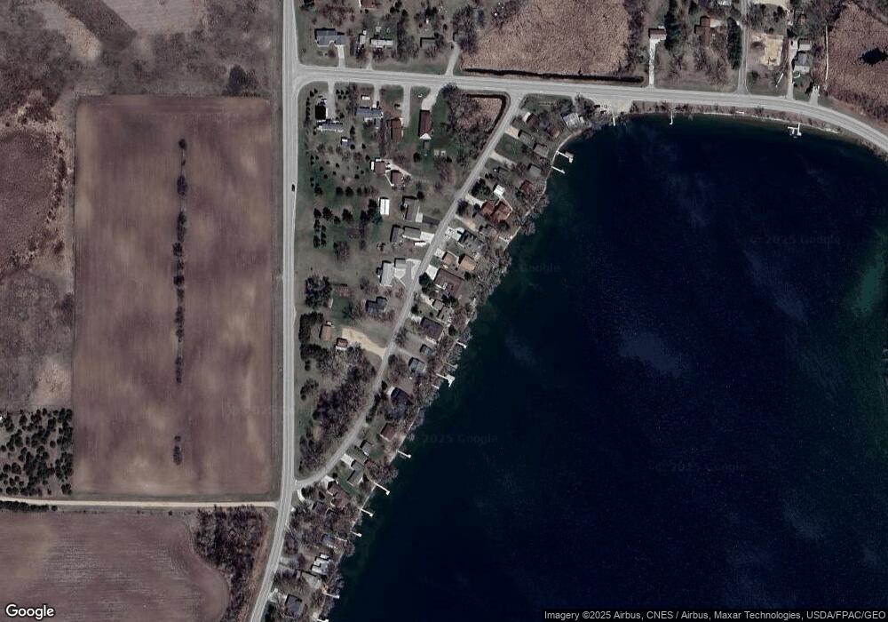
Map
Nearby Homes
- 4316 133rd Ave NE
- 4808 132nd Ave NE Unit 25
- 5078 132nd Ave NE
- 5288 132nd Ave NE Unit C7
- 5288 (R22) 53rd St NE
- 5288 (R24) 53rd St NE
- 5272 (R26) 53rd St NE
- 5288 (R19) 53rd St NE
- 13205 (R17) 53rd St NE
- 5288 (R23) 53rd St NE
- 4539 141st Ave NE
- 10957 Highway 71 NE
- 6844 140th Ave NE
- 621 Loretta Cir
- 6567 150th Ave NE
- 403 Miller St
- 14224 Skyline Dr
- - Agnes St & 6th Ave Bypass
- 263 Lake Ave N
- TBD 161st Ave NE
- 12953 42nd St NE
- 12953 12953 Ne 42 Street--
- 12953 NE 42 St
- 13011 42nd St NE
- 12931 42nd St NE
- 13033 42nd St NE
- 12919 42nd St NE
- 13010 42nd St NE
- 13055 42nd St NE
- 13034 42nd St NE
- 12960 42nd St NE
- 13060 42nd St NE
- 13099 42nd St NE
- 12916 42nd St NE
- 13135 42nd St NE
- 13100 42nd St NE
- 13157 42nd St NE
- 12821 42nd St NE
- 4123 132nd Ave NE
- 4153 132nd Ave NE