Estimated Value: $82,000 - $120,783
--
Bed
--
Bath
720
Sq Ft
$146/Sq Ft
Est. Value
About This Home
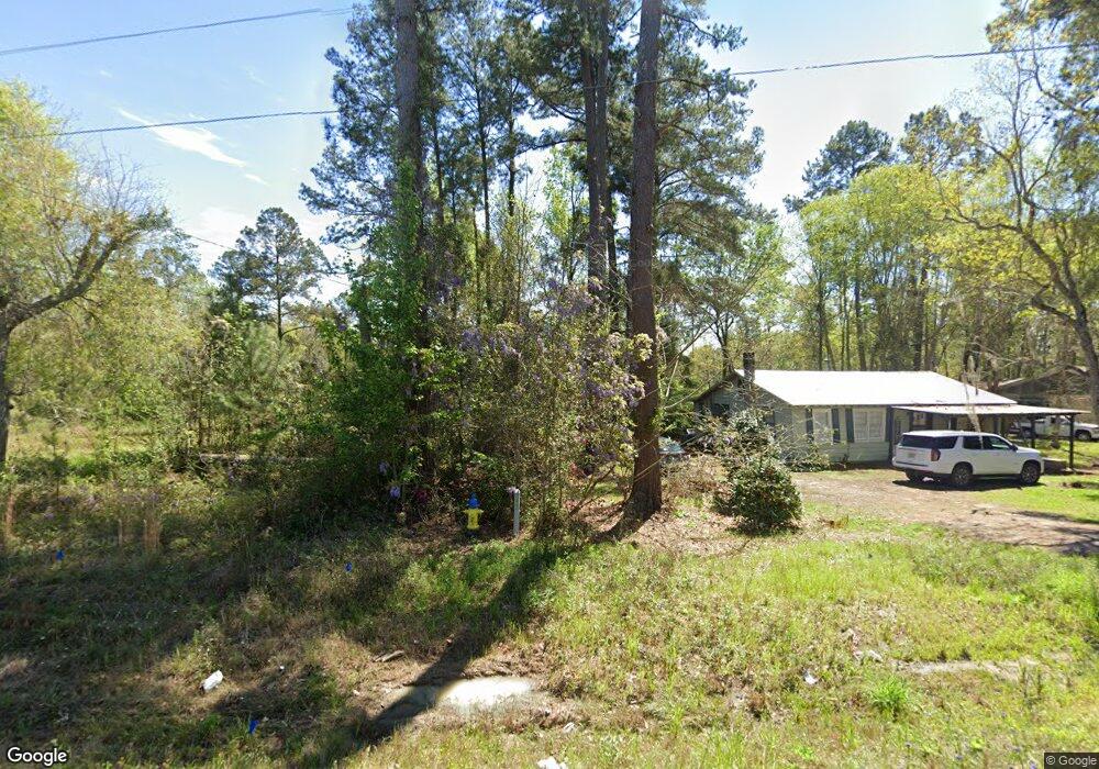
This home is located at 1298 Ga Highway 188, Cairo, GA 39828 and is currently estimated at $104,928, approximately $145 per square foot. 1298 Ga Highway 188 is a home with nearby schools including Cairo High School.
Ownership History
Date
Name
Owned For
Owner Type
Purchase Details
Closed on
Apr 12, 2023
Sold by
Leggett Thomas K
Bought by
Highway 188 Llc
Current Estimated Value
Purchase Details
Closed on
Feb 22, 2021
Sold by
Tucker Development Grp Llc
Bought by
Leggett Thomas K
Purchase Details
Closed on
Dec 6, 2018
Sold by
Leggett Thomas K
Bought by
Tucker Development Grp Llc
Purchase Details
Closed on
Oct 19, 2018
Sold by
Dumas David L
Bought by
Leggett Thomas K
Purchase Details
Closed on
Apr 7, 2008
Bought by
Leggett Thomas K
Purchase Details
Closed on
Jul 6, 2004
Sold by
Edwards John Stephen
Bought by
Edwards Anne W
Purchase Details
Closed on
Mar 6, 1981
Bought by
Edwards John Stephen
Create a Home Valuation Report for This Property
The Home Valuation Report is an in-depth analysis detailing your home's value as well as a comparison with similar homes in the area
Home Values in the Area
Average Home Value in this Area
Purchase History
| Date | Buyer | Sale Price | Title Company |
|---|---|---|---|
| Highway 188 Llc | $100,000 | -- | |
| Leggett Thomas K | -- | -- | |
| Tucker Development Grp Llc | $185,000 | -- | |
| Leggett Thomas K | $55,515 | -- | |
| Leggett Thomas K | $131,300 | -- | |
| Edwards Anne W | -- | -- | |
| Edwards John Stephen | -- | -- |
Source: Public Records
Tax History Compared to Growth
Tax History
| Year | Tax Paid | Tax Assessment Tax Assessment Total Assessment is a certain percentage of the fair market value that is determined by local assessors to be the total taxable value of land and additions on the property. | Land | Improvement |
|---|---|---|---|---|
| 2024 | $1,449 | $36,736 | $26,250 | $10,486 |
| 2023 | $384 | $10,384 | $5,760 | $4,624 |
| 2022 | $320 | $10,384 | $5,760 | $4,624 |
| 2021 | $321 | $10,384 | $5,760 | $4,624 |
| 2020 | $322 | $10,384 | $5,760 | $4,624 |
| 2019 | $322 | $10,384 | $5,760 | $4,624 |
| 2018 | $302 | $10,384 | $5,760 | $4,624 |
| 2017 | $288 | $10,384 | $5,760 | $4,624 |
| 2016 | $266 | $9,536 | $5,760 | $3,776 |
| 2015 | $262 | $9,536 | $5,760 | $3,776 |
| 2014 | -- | $9,536 | $5,760 | $3,776 |
| 2013 | -- | $0 | $0 | $0 |
Source: Public Records
Map
Nearby Homes
- 00 NW 9th Ave
- 2975 U S 84
- 0 State Route 188
- 1420 Parallel Dr NW
- 711 2nd Ave NE
- 000 15th Ave Nw -- Tract 2
- 000 15th Ave Nw -- Tract 1
- 220 8th Ave NW
- 4761 Hadley Ferry Rd
- 00 00 Hwy 111 South Tract 2
- 00 6th St NW
- 125 6th Ave NW
- 0 20th St NE
- 00 20th St NE
- 698 12th Ave NW
- 414 Woodland Rd
- 1490 Magnolia Dr
- X 1st St
- 00 Hwy 111 South Tract 1
- 316,322 NW 1st St + Lot
- 1288 Ga Highway 188
- 1291 Ga Highway 188
- 1346 Ga Highway 188
- 1420 5th St NE
- 1486 5th St NE
- 1210 5th St NE
- 655 12th Ave NE
- 1206 5th St NE
- 909 12th Ave NE
- 909 12th Ave Ne & 1298 Hwy 188 N
- 541 12th Ave NE
- 666 12th Ave NE
- 590 12th Ave NE
- 590 12th Ave NE
- 908 12th Ave NE
- 580 12th Ave NE
- 570 12th Ave NE
- 1010 12th Ave NE
- 1068 12th Ave NE
- 1048 12th Ave NE