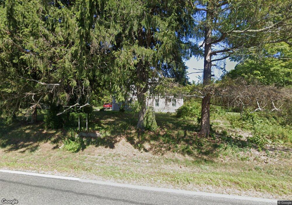
1298 Main St Acushnet, MA 02743
Estimated Value: $586,000 - $767,000
Studio
1
Bath
2,531
Sq Ft
$261/Sq Ft
Est. Value
About This Home
This home is located at 1298 Main St, Acushnet, MA 02743 and is currently estimated at $660,937, approximately $261 per square foot. 1298 Main St is a home located in Bristol County with nearby schools including Acushnet Elementary School and Albert F Ford Middle School.
Create a Home Valuation Report for This Property
The Home Valuation Report is an in-depth analysis detailing your home's value as well as a comparison with similar homes in the area
Tax History
| Year | Tax Paid | Tax Assessment Tax Assessment Total Assessment is a certain percentage of the fair market value that is determined by local assessors to be the total taxable value of land and additions on the property. | Land | Improvement |
|---|---|---|---|---|
| 2025 | $45 | $419,700 | $223,200 | $196,500 |
| 2024 | $4,610 | $404,000 | $211,900 | $192,100 |
| 2023 | $4,352 | $362,700 | $192,300 | $170,400 |
| 2022 | $4,488 | $338,200 | $183,300 | $154,900 |
| 2021 | $4,296 | $310,600 | $183,300 | $127,300 |
| 2020 | $4,227 | $303,200 | $174,300 | $128,900 |
| 2019 | $4,051 | $285,700 | $168,300 | $117,400 |
| 2018 | $3,990 | $276,700 | $168,300 | $108,400 |
| 2017 | $3,926 | $271,900 | $168,300 | $103,600 |
| 2016 | $3,803 | $261,700 | $168,300 | $93,400 |
| 2015 | $3,737 | $261,700 | $168,300 | $93,400 |
Source: Public Records
Map
Nearby Homes
- 199 Quaker Ln
- 168 Keene Rd
- 0 Keene Rd Unit 73459818
- 0 Land Way Unit 73479153
- 247 Braley Hill Rd
- 898 Tobey St
- 125 Doctor Braley Rd
- 4597 Acushnet Ave
- 18 Wordell St
- 973 Pembroke St
- SS Charbonneau Ln
- 3 Abraham Ave
- 34 Poplar Rd
- 145 Heritage Dr
- 489 Main St
- 329 Middle Rd
- 134 Nyes Ln
- 1475 Braley Rd Unit 21
- 1475 Braley Rd Unit 17
- 1015 Forbes St
Your Personal Tour Guide
Ask me questions while you tour the home.