1298 W Powerline Rd Safford, AZ 85546
Estimated Value: $340,000 - $471,000
--
Bed
--
Bath
3,200
Sq Ft
$122/Sq Ft
Est. Value
About This Home
This home is located at 1298 W Powerline Rd, Safford, AZ 85546 and is currently estimated at $389,364, approximately $121 per square foot. 1298 W Powerline Rd is a home located in Graham County with nearby schools including Dorothy Stinson School, Ruth Powell Elementary School, and Lafe Nelson School.
Ownership History
Date
Name
Owned For
Owner Type
Purchase Details
Closed on
Feb 18, 2009
Sold by
Rapier Wayne D and Rapier Sherri L
Bought by
Scott Gary A
Current Estimated Value
Home Financials for this Owner
Home Financials are based on the most recent Mortgage that was taken out on this home.
Original Mortgage
$40,000
Outstanding Balance
$25,040
Interest Rate
4.92%
Mortgage Type
Seller Take Back
Estimated Equity
$364,324
Purchase Details
Closed on
Jan 26, 2009
Sold by
Rapier Wayne D and Rapier Sherri
Bought by
Rapier Wayne D and Rapier Sherri
Home Financials for this Owner
Home Financials are based on the most recent Mortgage that was taken out on this home.
Original Mortgage
$40,000
Outstanding Balance
$25,040
Interest Rate
4.92%
Mortgage Type
Seller Take Back
Estimated Equity
$364,324
Create a Home Valuation Report for This Property
The Home Valuation Report is an in-depth analysis detailing your home's value as well as a comparison with similar homes in the area
Home Values in the Area
Average Home Value in this Area
Purchase History
| Date | Buyer | Sale Price | Title Company |
|---|---|---|---|
| Scott Gary A | -- | Pioneer Title Agency | |
| Rapier Wayne D | -- | None Available |
Source: Public Records
Mortgage History
| Date | Status | Borrower | Loan Amount |
|---|---|---|---|
| Open | Scott Gary A | $40,000 |
Source: Public Records
Tax History Compared to Growth
Tax History
| Year | Tax Paid | Tax Assessment Tax Assessment Total Assessment is a certain percentage of the fair market value that is determined by local assessors to be the total taxable value of land and additions on the property. | Land | Improvement |
|---|---|---|---|---|
| 2026 | $590 | -- | -- | -- |
| 2025 | $590 | $25,382 | $3,865 | $21,517 |
| 2024 | $588 | $21,653 | $2,755 | $18,898 |
| 2023 | $588 | $17,144 | $2,552 | $14,592 |
| 2022 | $572 | $14,783 | $1,999 | $12,784 |
| 2021 | $632 | $0 | $0 | $0 |
| 2020 | $655 | $0 | $0 | $0 |
| 2019 | $1,611 | $0 | $0 | $0 |
| 2018 | $1,519 | $0 | $0 | $0 |
| 2017 | $1,496 | $0 | $0 | $0 |
| 2016 | $1,448 | $0 | $0 | $0 |
| 2015 | $1,320 | $0 | $0 | $0 |
Source: Public Records
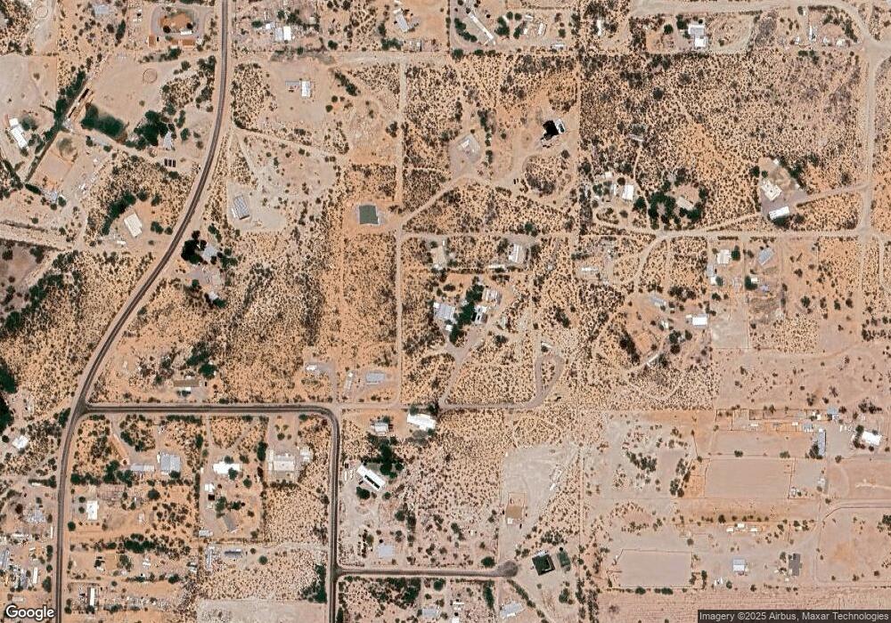
Map
Nearby Homes
- 0 No Address Available Unknown Unit 22424757
- 5256 S Us Hwy 191 Lot 1 -- Unit 1
- 5256 U S 191 Unit 5
- 0 Tbd Anns Ranch
- 0 Tbd Anns Ranch
- tbd Tbd
- tbd Tbd Unit 4
- tbd Tbd Unit 3
- tbd Tbd Unit 2
- tbd Tbd Unit 1
- 6850 S Us Highway 191
- 3354 S Us Highway 191
- APN# 103-22-018
- 0 Star Fire Cir Unit 1719797
- 0 Star Fire Cir Unit 1719796
- 0 Star Fire Cir Unit 4 22415917
- 8th and Discovery --
- 574 W Frying Pan Dr
- 0 Lariat Way Unit 22994149
- 000 S Branding Iron Rd Unit 38
- 4901 S Caliente Place
- 0 Caliente
- 4744 S Caliente Place
- 5051 S Wagon Wheel Rd
- 1003 W Substation Ln Unit 1005
- 4801 S 14th Ave
- 4807 S Caliente Place
- 1078 W Substation Ln
- 1339 W Powerline Rd
- 1152 W Katich Dr
- 1152 W Katich Dr Unit VL
- 4903 S 14th Ave
- 1014 W Substation Ln
- TBD S Wagon Wheel Rd
- 4687 S 12th Ave
- 983 W Substation Ln
- 1163 W Katich Dr
- 1163 W Katich Dr
- 912 W Substation Ln
- 5159 S Wagon Wheel Rd