12980 Hayesmount Rd Commerce City, CO 80022
Estimated Value: $437,000 - $623,000
4
Beds
2
Baths
2,052
Sq Ft
$270/Sq Ft
Est. Value
About This Home
This home is located at 12980 Hayesmount Rd, Commerce City, CO 80022 and is currently estimated at $553,333, approximately $269 per square foot. 12980 Hayesmount Rd is a home located in Adams County with nearby schools including Henderson Elementary School, Otho E Stuart Middle School, and Prairie View High School.
Ownership History
Date
Name
Owned For
Owner Type
Purchase Details
Closed on
Nov 30, 2004
Sold by
Matrix Capital Bank
Bought by
Baros Debra
Current Estimated Value
Home Financials for this Owner
Home Financials are based on the most recent Mortgage that was taken out on this home.
Original Mortgage
$164,000
Outstanding Balance
$81,639
Interest Rate
5.64%
Mortgage Type
Purchase Money Mortgage
Estimated Equity
$471,694
Purchase Details
Closed on
May 1, 1998
Sold by
Vasseur Tracy L
Bought by
Myhre Darin W
Purchase Details
Closed on
May 1, 1997
Sold by
Vasseur James L and Vasseur Karen R
Purchase Details
Closed on
Feb 27, 1997
Sold by
Vasseur James L and Vasseur Karen R
Bought by
Vasseur Tracy L
Create a Home Valuation Report for This Property
The Home Valuation Report is an in-depth analysis detailing your home's value as well as a comparison with similar homes in the area
Home Values in the Area
Average Home Value in this Area
Purchase History
| Date | Buyer | Sale Price | Title Company |
|---|---|---|---|
| Baros Debra | $205,000 | Security Title | |
| Myhre Darin W | -- | -- | |
| Myhre Darin W | -- | -- | |
| -- | -- | -- | |
| Vasseur Tracy L | -- | -- |
Source: Public Records
Mortgage History
| Date | Status | Borrower | Loan Amount |
|---|---|---|---|
| Open | Baros Debra | $164,000 | |
| Closed | Baros Debra | $39,000 |
Source: Public Records
Tax History Compared to Growth
Tax History
| Year | Tax Paid | Tax Assessment Tax Assessment Total Assessment is a certain percentage of the fair market value that is determined by local assessors to be the total taxable value of land and additions on the property. | Land | Improvement |
|---|---|---|---|---|
| 2024 | $3,874 | $32,750 | $6,040 | $26,710 |
| 2023 | $3,746 | $39,920 | $5,820 | $34,100 |
| 2022 | $3,107 | $32,330 | $5,610 | $26,720 |
| 2021 | $3,107 | $32,330 | $5,610 | $26,720 |
| 2020 | $2,518 | $27,340 | $5,770 | $21,570 |
| 2019 | $2,521 | $27,340 | $5,770 | $21,570 |
| 2018 | $1,873 | $20,310 | $3,940 | $16,370 |
| 2017 | $1,871 | $20,310 | $3,940 | $16,370 |
| 2016 | $1,866 | $20,190 | $4,090 | $16,100 |
| 2015 | $1,862 | $20,190 | $4,090 | $16,100 |
| 2014 | -- | $17,180 | $3,870 | $13,310 |
Source: Public Records
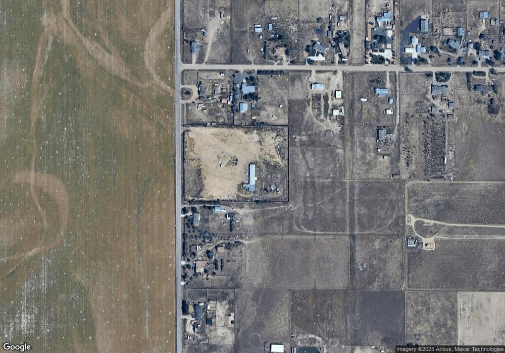
Map
Nearby Homes
- 32350 E 137th Way
- 32501 E 137th Way
- 31200 E 145th Ave
- 14651 Hayesmount Rd
- 16590 Watkins Rd
- 32650 E 143rd Ave
- 30522 E 148th Ct
- 14955 Lanewood St
- 6816 E 149th Ave
- 34308 E 139th Ct
- 13400 Harvest Rd
- 15415 Gadsden Dr
- 13350 Imboden Rd
- 2 Imboden Rd
- 0 E 152nd Ave
- 28550 E 159th Ave
- 30350 E 161st Ave Unit 25
- 30460 E 161st Ave
- 28700 E 160th Place
- 29145 E 160th Ct
- 12960 Hayesmount Rd
- 12920 Hayesmount Rd
- 13080 Hayesmount Rd
- 29846 E 131st Ave
- 29966 E 131st Ave
- 29966 E 131st Ave
- 12880 Hayesmount Rd
- 30068 E 131st Ave
- 13160 Hayesmount Rd
- 30086 E 131st Ave
- 29987 E 131st Ave
- 29967 E 131st Ave
- 29947 E 131st Ave
- 0 Tbd Unit 7031645
- 29721 E 128th Ave
- 30067 E 131st Ave
- 30188 E 131st Ave
- 30147 E 131st Ave
- 30085 E 128th Ave
- 30187 E 131st Ave