Estimated Value: $231,018 - $267,000
3
Beds
2
Baths
1,260
Sq Ft
$198/Sq Ft
Est. Value
About This Home
This home is located at 12988 Highway 23 NE, Foley, MN 56329 and is currently estimated at $249,005, approximately $197 per square foot. 12988 Highway 23 NE is a home located in Benton County with nearby schools including Foley Elementary School, Foley Intermediate Elementary School, and Foley Senior High School.
Ownership History
Date
Name
Owned For
Owner Type
Purchase Details
Closed on
Nov 5, 2015
Sold by
Wruck Christine Christine
Bought by
Deters Brian Brian
Current Estimated Value
Home Financials for this Owner
Home Financials are based on the most recent Mortgage that was taken out on this home.
Original Mortgage
$118,900
Outstanding Balance
$93,774
Interest Rate
3.87%
Estimated Equity
$155,231
Purchase Details
Closed on
Nov 10, 2005
Sold by
Wruck Christine A and Wruck Johnson Christine A
Bought by
Wruck Christine A
Create a Home Valuation Report for This Property
The Home Valuation Report is an in-depth analysis detailing your home's value as well as a comparison with similar homes in the area
Home Values in the Area
Average Home Value in this Area
Purchase History
| Date | Buyer | Sale Price | Title Company |
|---|---|---|---|
| Deters Brian Brian | $121,000 | -- | |
| Wruck Christine A | $50,000 | -- |
Source: Public Records
Mortgage History
| Date | Status | Borrower | Loan Amount |
|---|---|---|---|
| Open | Deters Brian Brian | $118,900 |
Source: Public Records
Tax History Compared to Growth
Tax History
| Year | Tax Paid | Tax Assessment Tax Assessment Total Assessment is a certain percentage of the fair market value that is determined by local assessors to be the total taxable value of land and additions on the property. | Land | Improvement |
|---|---|---|---|---|
| 2025 | $1,802 | $206,800 | $45,900 | $160,900 |
| 2024 | $1,644 | $204,700 | $45,300 | $159,400 |
| 2023 | $1,470 | $195,800 | $45,300 | $150,500 |
| 2022 | $1,484 | $166,300 | $37,200 | $129,100 |
| 2021 | $1,470 | $149,800 | $35,200 | $114,600 |
| 2018 | $1,356 | $101,900 | $26,555 | $75,345 |
| 2017 | $1,356 | $92,700 | $24,169 | $68,531 |
| 2016 | $1,252 | $114,600 | $28,200 | $86,400 |
| 2015 | $1,170 | $71,800 | $20,288 | $51,512 |
| 2014 | -- | $73,500 | $20,461 | $53,039 |
| 2013 | -- | $86,000 | $29,124 | $56,876 |
Source: Public Records
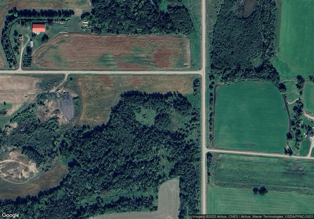
Map
Nearby Homes
- TBD 11th Ave
- 330 7th Ave
- 130 Broadway Ave S
- 191 4th Ave S
- TBD Field House Rd
- 409 4th Ave N
- 501 4th Ave N
- 709 Norman Ave N
- 131 Norman Ave N
- 52 Glen St Unit 10
- 201 Norman Ave S
- XXX Hwy 25
- 400 Kathryn Ln
- 510 Morgan Dr
- 142xx 80th St NE
- TBD 90th St NE
- 1xxx 105th Ave NE
- 8105 165th Ave NE
- 9360 85th St NE
- 17131 65th St NE
- 712 13th Ave N
- 12950 Highway 23 NE
- 720 13th Ave N
- 705 13th Ave N
- 717 13th Ave N
- 717 717 13th-Avenue-n
- 728 13th Ave N
- 729 13th Ave N
- 741 13th Ave N
- 744 13th Ave N
- xxxxx NE Highway 23 Hwy
- 753 13th Ave N
- 1210 Highway 23
- 1210 Highway 23
- 756 13th Ave N
- 765 13th Ave N
- 310 Lord Ave
- 308 Lord Ave
- 764 13th Ave N
- 777 13th Ave N