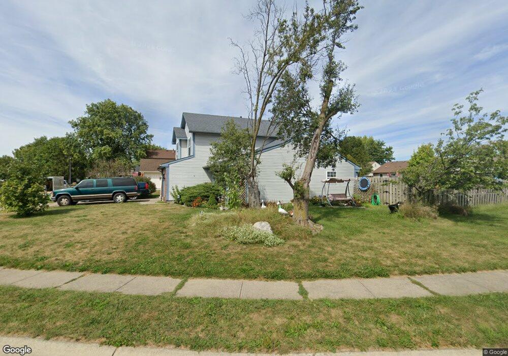
12992 Wingstem Ct Fishers, IN 46038
Estimated Value: $322,000 - $357,513
3
Beds
3
Baths
1,638
Sq Ft
$207/Sq Ft
Est. Value
About This Home
This home is located at 12992 Wingstem Ct, Fishers, IN 46038 and is currently estimated at $339,878, approximately $207 per square foot. 12992 Wingstem Ct is a home located in Hamilton County with nearby schools including Cumberland Road Elementary School, East Middle School, and Fishers Junior High School.
Ownership History
Date
Name
Owned For
Owner Type
Purchase Details
Closed on
Apr 24, 2001
Sold by
Edwards Dennis and Luke Rosalyn C
Bought by
Edwards Dennis
Current Estimated Value
Home Financials for this Owner
Home Financials are based on the most recent Mortgage that was taken out on this home.
Original Mortgage
$112,800
Interest Rate
6.95%
Create a Home Valuation Report for This Property
The Home Valuation Report is an in-depth analysis detailing your home's value as well as a comparison with similar homes in the area
Home Values in the Area
Average Home Value in this Area
Purchase History
| Date | Buyer | Sale Price | Title Company |
|---|---|---|---|
| Edwards Dennis | -- | Stewart Title Services |
Source: Public Records
Mortgage History
| Date | Status | Borrower | Loan Amount |
|---|---|---|---|
| Closed | Edwards Dennis | $112,800 |
Source: Public Records
Tax History Compared to Growth
Tax History
| Year | Tax Paid | Tax Assessment Tax Assessment Total Assessment is a certain percentage of the fair market value that is determined by local assessors to be the total taxable value of land and additions on the property. | Land | Improvement |
|---|---|---|---|---|
| 2024 | $3,626 | $314,600 | $77,000 | $237,600 |
| 2023 | $3,626 | $317,000 | $57,200 | $259,800 |
| 2022 | $3,338 | $280,700 | $57,200 | $223,500 |
| 2021 | $2,789 | $234,200 | $57,200 | $177,000 |
| 2020 | $2,505 | $211,400 | $57,200 | $154,200 |
| 2019 | $2,298 | $196,800 | $41,000 | $155,800 |
| 2018 | $2,107 | $184,400 | $41,000 | $143,400 |
| 2017 | $1,999 | $177,900 | $41,000 | $136,900 |
| 2016 | $1,868 | $169,100 | $41,000 | $128,100 |
| 2014 | $1,616 | $159,300 | $41,000 | $118,300 |
| 2013 | $1,616 | $155,000 | $41,100 | $113,900 |
Source: Public Records
Map
Nearby Homes
- 12991 Wingstem Ct
- 12959 Shandon Ln
- 11798 & 11842 E 131st St
- 12677 Ladson St
- 10066 Perlita Place
- 10150 Beresford Ct
- 13068 Lamarque Place
- 13125 Zinfandel Place
- 10175 Pamona Ct
- 13048 Ross Crossing
- 12966 Pleasant View Ln
- 9080 Teaneck Dr
- 10093 Parkshore Dr
- 10523 Hollowood Ct
- 10671 Pleasant View Ln
- 9050 Sparta Dr
- 13853 Oak Grove Ct
- 13068 Raritan Dr
- 9009 Mercer Dr
- 9335 Clarendon Dr
- 12988 Shandon Ln
- 9745 Claymore Dr
- 9735 Claymore Dr
- 12987 Wingstem Ct
- 9725 Claymore Dr
- 12980 Shandon Ln
- 12979 Longleaf Ln
- 12995 Wingstem Ct
- 12954 Longleaf Ln
- 9715 Claymore Dr
- 12957 Longleaf Ln
- 12997 Wingstem Ct
- 12946 Longleaf Ln
- 9705 Claymore Dr
- 13011 Wingstem Ct
- 12947 Longleaf Ln
- 9740 Claymore Dr
- 9730 Claymore Dr
- 13075 Sterling Commons
- 12938 Longleaf Ln