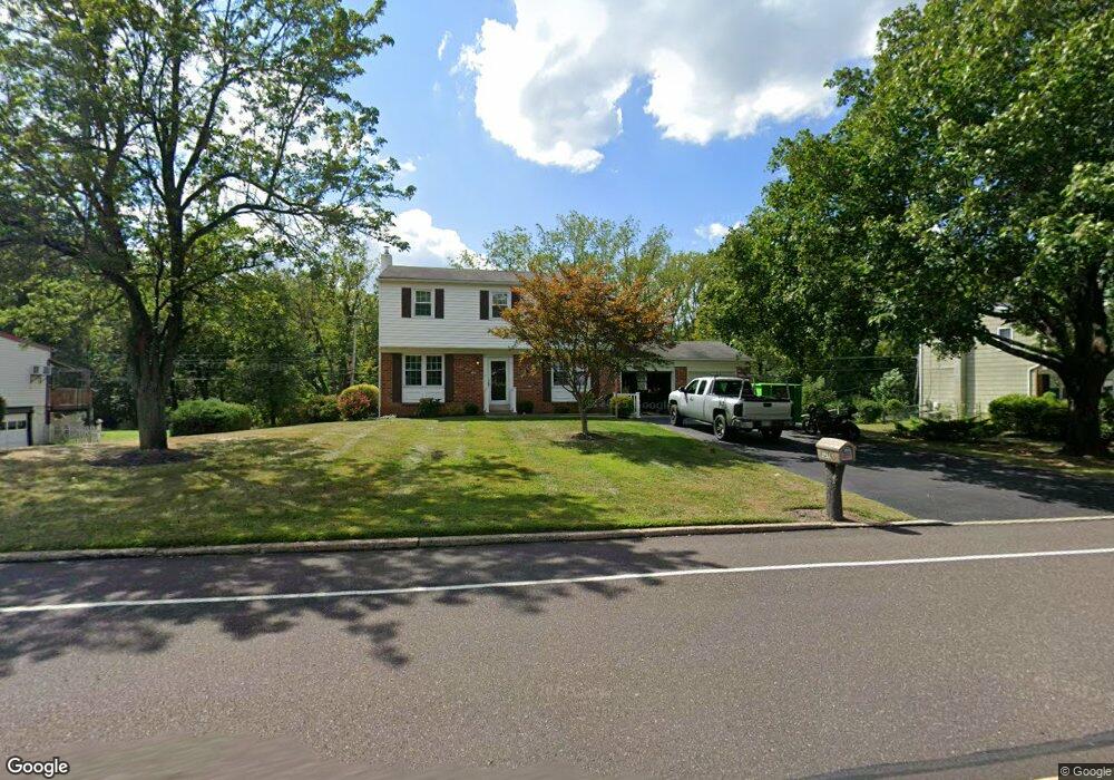
129A Brittany Dr Chalfont, PA 18914
Estimated Value: $488,000 - $530,000
3
Beds
2
Baths
1,688
Sq Ft
$298/Sq Ft
Est. Value
About This Home
This home is located at 129A Brittany Dr, Chalfont, PA 18914 and is currently estimated at $502,435, approximately $297 per square foot. 129A Brittany Dr is a home located in Bucks County with nearby schools including Simon Butler Elementary, Unami Middle School, and Central Bucks High School - South.
Ownership History
Date
Name
Owned For
Owner Type
Purchase Details
Closed on
Oct 30, 1996
Sold by
Barndt Robert G and Barndt Carol A
Bought by
Thomson Timothy J and Thomson Cheryl P
Current Estimated Value
Home Financials for this Owner
Home Financials are based on the most recent Mortgage that was taken out on this home.
Original Mortgage
$155,000
Interest Rate
7.78%
Create a Home Valuation Report for This Property
The Home Valuation Report is an in-depth analysis detailing your home's value as well as a comparison with similar homes in the area
Home Values in the Area
Average Home Value in this Area
Purchase History
| Date | Buyer | Sale Price | Title Company |
|---|---|---|---|
| Thomson Timothy J | $173,000 | -- |
Source: Public Records
Mortgage History
| Date | Status | Borrower | Loan Amount |
|---|---|---|---|
| Previous Owner | Thomson Timothy J | $155,000 |
Source: Public Records
Tax History Compared to Growth
Tax History
| Year | Tax Paid | Tax Assessment Tax Assessment Total Assessment is a certain percentage of the fair market value that is determined by local assessors to be the total taxable value of land and additions on the property. | Land | Improvement |
|---|---|---|---|---|
| 2025 | $4,991 | $28,800 | $5,400 | $23,400 |
| 2024 | $4,991 | $28,800 | $5,400 | $23,400 |
| 2023 | $4,832 | $28,800 | $5,400 | $23,400 |
| 2022 | $4,737 | $28,800 | $5,400 | $23,400 |
| 2021 | $4,683 | $28,800 | $5,400 | $23,400 |
| 2020 | $4,683 | $28,800 | $5,400 | $23,400 |
| 2019 | $4,626 | $28,800 | $5,400 | $23,400 |
| 2018 | $4,626 | $28,800 | $5,400 | $23,400 |
| 2017 | $4,590 | $28,800 | $5,400 | $23,400 |
| 2016 | $4,590 | $28,800 | $5,400 | $23,400 |
| 2015 | -- | $28,800 | $5,400 | $23,400 |
| 2014 | -- | $28,800 | $5,400 | $23,400 |
Source: Public Records
Map
Nearby Homes
- 202 Cornwall Dr
- 214 Surrey Rd
- 245 Hampshire Dr
- 136 Tartan Terrace
- 103 Bonnie Lark Ct
- 85 Queens Cir
- 129 Cambridge Place
- 0 S Limekiln Pike
- 245 Prince William Way
- 210 Remington Ct Unit 210
- 14 Woodside Ave
- 722 Upper State Rd
- 434 Reagans Ln
- 46 Hickory Ln
- 458 Reagans Ln
- 456 Regans Ln
- 117 S Limekiln Pike
- 431 Reagans Ln
- 300 Brookside Ct
- 427 Reagans Ln
- 129 Brittany Dr
- 131 Brittany Dr
- 127 Brittany Dr
- 133 Brittany Dr
- 120 Brittany Dr
- 118 Brittany Dr
- 122 Brittany Dr
- 116 Brittany Dr
- 124 Brittany Dr
- 125 Brittany Dr
- 135 Brittany Dr
- 126 Brittany Dr
- 114 Brittany Dr
- 123 Brittany Dr
- 137 Brittany Dr
- 110 Dolly Ln
- 134 Dolly Cir
- 132 Dolly Cir
- 219 Cornwall Dr
- 221 Cornwall Dr