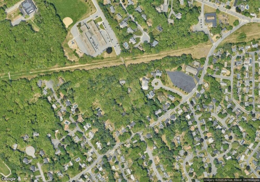
129R Brook St Framingham, MA 01701
Nobscot NeighborhoodEstimated Value: $794,529 - $861,000
4
Beds
3
Baths
2,264
Sq Ft
$361/Sq Ft
Est. Value
About This Home
This home is located at 129R Brook St, Framingham, MA 01701 and is currently estimated at $816,382, approximately $360 per square foot. 129R Brook St is a home with nearby schools including Framingham High School, Saint Bridget School, and Sudbury Valley School.
Create a Home Valuation Report for This Property
The Home Valuation Report is an in-depth analysis detailing your home's value as well as a comparison with similar homes in the area
Home Values in the Area
Average Home Value in this Area
Tax History
| Year | Tax Paid | Tax Assessment Tax Assessment Total Assessment is a certain percentage of the fair market value that is determined by local assessors to be the total taxable value of land and additions on the property. | Land | Improvement |
|---|---|---|---|---|
| 2025 | $8,406 | $704,000 | $279,700 | $424,300 |
| 2024 | $8,140 | $653,300 | $249,700 | $403,600 |
| 2023 | $7,842 | $599,100 | $222,900 | $376,200 |
| 2022 | $7,517 | $547,100 | $202,300 | $344,800 |
| 2021 | $7,323 | $521,200 | $194,400 | $326,800 |
| 2020 | $7,427 | $495,800 | $176,700 | $319,100 |
| 2019 | $7,322 | $476,100 | $176,700 | $299,400 |
| 2018 | $7,197 | $441,000 | $170,100 | $270,900 |
| 2017 | $7,027 | $420,500 | $165,100 | $255,400 |
| 2016 | $7,020 | $403,900 | $165,100 | $238,800 |
| 2015 | $7,071 | $396,800 | $165,100 | $231,700 |
Source: Public Records
Map
Nearby Homes
Your Personal Tour Guide
Ask me questions while you tour the home.