12A Wood Crest Dr Old Lyme, CT 06371
Estimated Value: $864,200 - $971,000
4
Beds
3
Baths
2,708
Sq Ft
$340/Sq Ft
Est. Value
About This Home
This home is located at 12A Wood Crest Dr, Old Lyme, CT 06371 and is currently estimated at $921,300, approximately $340 per square foot. 12A Wood Crest Dr is a home with nearby schools including Mile Creek School, Lyme-Old Lyme Middle School, and Lyme-Old Lyme High School.
Ownership History
Date
Name
Owned For
Owner Type
Purchase Details
Closed on
Apr 29, 2016
Sold by
Pmc Development Llc
Bought by
Bellaria Dorothy
Current Estimated Value
Home Financials for this Owner
Home Financials are based on the most recent Mortgage that was taken out on this home.
Original Mortgage
$392,000
Outstanding Balance
$312,769
Interest Rate
3.73%
Mortgage Type
New Conventional
Estimated Equity
$608,531
Create a Home Valuation Report for This Property
The Home Valuation Report is an in-depth analysis detailing your home's value as well as a comparison with similar homes in the area
Home Values in the Area
Average Home Value in this Area
Purchase History
| Date | Buyer | Sale Price | Title Company |
|---|---|---|---|
| Bellaria Dorothy | $490,000 | -- | |
| Bellaria Dorothy | $490,000 | -- |
Source: Public Records
Mortgage History
| Date | Status | Borrower | Loan Amount |
|---|---|---|---|
| Open | Bellaria Dorothy | $392,000 | |
| Closed | Bellaria Dorothy | $392,000 |
Source: Public Records
Tax History Compared to Growth
Tax History
| Year | Tax Paid | Tax Assessment Tax Assessment Total Assessment is a certain percentage of the fair market value that is determined by local assessors to be the total taxable value of land and additions on the property. | Land | Improvement |
|---|---|---|---|---|
| 2025 | $8,300 | $511,400 | $123,700 | $387,700 |
| 2024 | $7,879 | $322,900 | $101,400 | $221,500 |
| 2023 | $7,588 | $322,900 | $101,400 | $221,500 |
| 2022 | $7,588 | $322,900 | $101,400 | $221,500 |
| 2021 | $7,524 | $322,900 | $101,400 | $221,500 |
| 2020 | $7,491 | $322,900 | $101,400 | $221,500 |
| 2019 | $7,319 | $326,600 | $101,400 | $225,200 |
| 2018 | $7,156 | $326,600 | $101,400 | $225,200 |
| 2017 | $7,045 | $323,900 | $101,400 | $222,500 |
| 2016 | $3,564 | $168,100 | $101,400 | $66,700 |
| 2015 | $1,831 | $88,800 | $88,800 | $0 |
| 2014 | $1,746 | $88,800 | $88,800 | $0 |
Source: Public Records
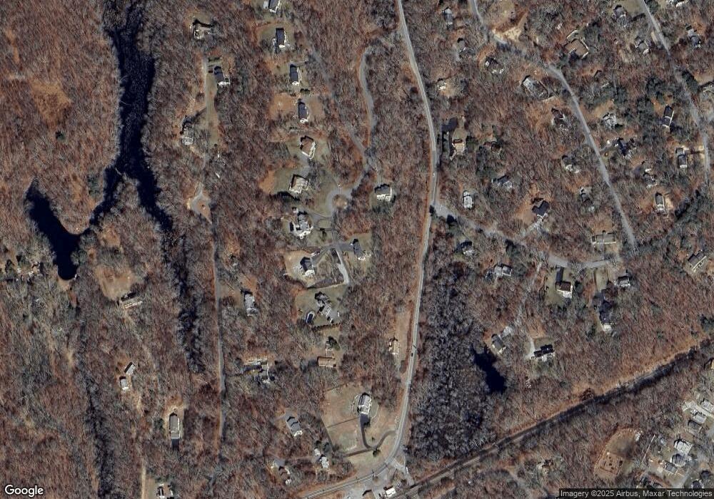
Map
Nearby Homes
- 22 Riverdale Landing
- 2 Riverdale Landing
- 4 Jean Dr
- 284 Shore Rd
- 223 Giants Neck Rd
- 30 Hartford Ave Unit B
- 44 Hartford Ave
- 47 Hartford Ave
- 15 Griswold Rd
- 56 Columbus Ave
- 15 Short Hills Rd
- 14 Colton Rd
- 15 Freedom Way Unit 92
- 224 Shore Rd
- 1 Beechwood Ln
- 188 4 Mile River Rd
- 18 Twin Valley Rd
- 16 Twin Valley Rd
- 184 Shore Rd
- Waramaug Plan at Riverside Reserve
- 12 Wood Crest Dr
- 12 Woodcrest Drive (Lot 9)
- 12 Wood Crest Dr (Lot 9)
- 15 Wood Crest Dr
- 11 Wood Crest Dr
- 11 Wood Crest Dr
- 11 Wood Crest Dr
- 11 Wood Crest Dr
- 396 Shore Rd
- 1 Oakridge Dr
- 2 Oakridge Dr
- 10 Wood Crest Dr
- 10 Wood Crest Dr
- 9 Wood Crest Dr
- 392 Shore Rd
- 392A Shore Rd
- 11 Windward Ln
- 409 Shore Rd
- 3 Oakridge Dr
- 7 Wood Crest Dr