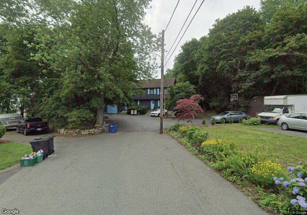
12R Perkins St Peabody, MA 01960
Peabody Town Center NeighborhoodEstimated Value: $787,000 - $858,000
4
Beds
3
Baths
1,875
Sq Ft
$437/Sq Ft
Est. Value
About This Home
This home is located at 12R Perkins St, Peabody, MA 01960 and is currently estimated at $819,300, approximately $436 per square foot. 12R Perkins St is a home located in Essex County with nearby schools including Peabody Veterans Memorial High School, St John The Baptist School, and The Phoenix School.
Ownership History
Date
Name
Owned For
Owner Type
Purchase Details
Closed on
Jul 30, 1993
Sold by
Cunningham Robert J and Cunningham Susan M
Bought by
Lothrop Bruce M
Current Estimated Value
Purchase Details
Closed on
Aug 7, 1992
Sold by
Kiley James R and Kiley Jean G
Bought by
Cunningham Robert
Create a Home Valuation Report for This Property
The Home Valuation Report is an in-depth analysis detailing your home's value as well as a comparison with similar homes in the area
Home Values in the Area
Average Home Value in this Area
Purchase History
| Date | Buyer | Sale Price | Title Company |
|---|---|---|---|
| Lothrop Bruce M | $195,000 | -- | |
| Cunningham Robert | $182,000 | -- |
Source: Public Records
Mortgage History
| Date | Status | Borrower | Loan Amount |
|---|---|---|---|
| Open | Cunningham Robert | $300,000 | |
| Closed | Cunningham Robert | $343,400 | |
| Closed | Cunningham Robert | $225,000 |
Source: Public Records
Tax History
| Year | Tax Paid | Tax Assessment Tax Assessment Total Assessment is a certain percentage of the fair market value that is determined by local assessors to be the total taxable value of land and additions on the property. | Land | Improvement |
|---|---|---|---|---|
| 2025 | $6,720 | $725,700 | $269,000 | $456,700 |
| 2024 | $6,106 | $669,500 | $269,000 | $400,500 |
| 2023 | $5,485 | $576,200 | $240,500 | $335,700 |
| 2022 | $5,399 | $534,600 | $214,800 | $319,800 |
| 2021 | $5,548 | $528,900 | $195,300 | $333,600 |
| 2020 | $5,427 | $505,300 | $195,300 | $310,000 |
| 2019 | $5,298 | $481,200 | $195,300 | $285,900 |
| 2018 | $5,262 | $459,200 | $177,400 | $281,800 |
| 2017 | $4,972 | $422,800 | $177,400 | $245,400 |
| 2016 | $4,935 | $414,000 | $177,400 | $236,600 |
| 2015 | -- | $376,000 | $173,100 | $202,900 |
Source: Public Records
Map
Nearby Homes
- 6 Rear Perkins St
- 64 Foster St Unit 105
- 8 Crowninshield St Unit 410
- 80 Foster St Unit 501
- 10 Crowninshield St Unit 303
- 111 Foster St Unit 416
- 111 Foster St Unit 305
- 98 Foster St
- 10 Park St
- 38-1/2 Ellsworth Rd
- 15 Swampscott Ave
- 158 Lowell St Unit 4
- 46 Walnut St
- 16 Tremont St
- 1 Fountain St
- 2 Osborne St
- 75 Walnut St Unit 315
- 4R Forest St
- 233 Lowell St Unit 1
- 0 Buttonwood Ln Unit 2
- 14R Perkins St
- 10R Perkins St
- 14R Left Perkins Ave Unit Left
- 5 Seamount Rd
- 7 Seamount Rd
- 44 Franklin St
- 3 Seamount Rd
- 3 Seamount Rd
- 42 Franklin St
- 48 Franklin St
- 40 Franklin St
- 20R Perkins St Unit 20
- 18 Perkins St
- 4 Seamount Rd
- 12 Rear Perkins St
- 18 Rear Perkins St Unit 18
- 20 Rear Perkins St
- 27 Walker Rd
- 17 Walker Rd
- 8R Perkins St
Your Personal Tour Guide
Ask me questions while you tour the home.