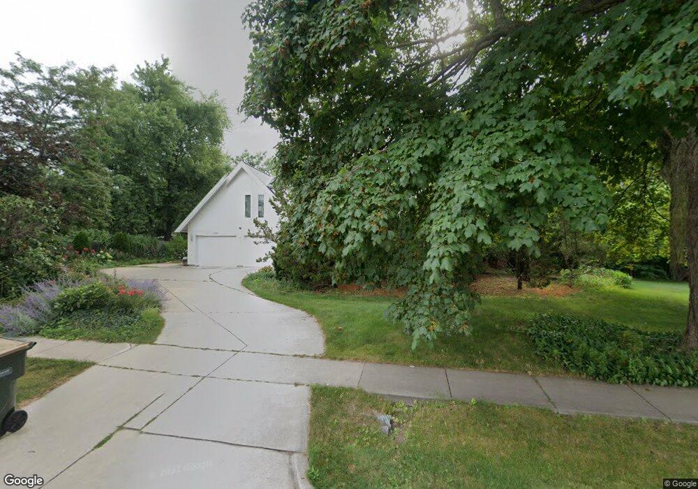
12S019 Book Rd Naperville, IL 60564
Wheatland South NeighborhoodEstimated Value: $521,443 - $756,000
Studio
--
Bath
2,958
Sq Ft
$216/Sq Ft
Est. Value
About This Home
This home is located at 12S019 Book Rd, Naperville, IL 60564 and is currently estimated at $637,611, approximately $215 per square foot. 12S019 Book Rd is a home located in Will County with nearby schools including Patterson Elementary School, Gordon Gregory Middle School, and Neuqua Valley High School.
Ownership History
Date
Name
Owned For
Owner Type
Purchase Details
Closed on
Sep 4, 2014
Sold by
Krumpelt Michael and Krumpit Karin D
Bought by
Michael Krumpelt Living Tust
Current Estimated Value
Create a Home Valuation Report for This Property
The Home Valuation Report is an in-depth analysis detailing your home's value as well as a comparison with similar homes in the area
Home Values in the Area
Average Home Value in this Area
Purchase History
| Date | Buyer | Sale Price | Title Company |
|---|---|---|---|
| Michael Krumpelt Living Tust | -- | None Available |
Source: Public Records
Tax History
| Year | Tax Paid | Tax Assessment Tax Assessment Total Assessment is a certain percentage of the fair market value that is determined by local assessors to be the total taxable value of land and additions on the property. | Land | Improvement |
|---|---|---|---|---|
| 2024 | $10,355 | $174,914 | $25,941 | $148,973 |
| 2023 | $10,355 | $154,518 | $22,916 | $131,602 |
| 2022 | $9,486 | $142,664 | $21,679 | $120,985 |
| 2021 | $9,023 | $135,871 | $20,647 | $115,224 |
| 2020 | $8,849 | $133,718 | $20,320 | $113,398 |
| 2019 | $8,681 | $129,949 | $19,747 | $110,202 |
| 2018 | $9,273 | $135,471 | $19,312 | $116,159 |
| 2017 | $9,139 | $131,973 | $18,813 | $113,160 |
| 2016 | $9,090 | $129,132 | $18,408 | $110,724 |
| 2015 | $8,174 | $124,165 | $17,700 | $106,465 |
| 2014 | $8,174 | $111,760 | $17,700 | $94,060 |
| 2013 | $8,174 | $111,760 | $17,700 | $94,060 |
Source: Public Records
Map
Nearby Homes
- 2255 Wendt Cir
- 4204 Falkner Dr Unit 3
- 4507 Barr Creek Ln
- 3740 Caine Dr
- 1364 Saxon Ln
- 1367 Saxon Ln
- 29W376 Wagner Rd
- 2344 Corn Lily Rd
- 3819 Capri Ct
- 1244 Hollingswood Ave
- 4711 Snapjack Cir
- 3412 Falkner Dr
- 3804 Relstar Ct
- 3027 Brossman St
- 3847 Gold Cup Ln
- 3718 Tramore Ct
- 3111 Landore Dr
- 2703 Wait Rd Unit 3
- 1007 Hollingswood Ct
- 3021 Saganashkee Ln
- 12s Robert Dr
- 12S018 Robert Dr
- 12S039 Book Rd
- 12S038 Robert Dr
- 11S767 Book Rd
- 12S059 Book Rd
- 11S766 Robert Dr
- 12S056 Robert Dr
- 12S019 Robert Dr
- 12S039 Robert Dr
- 29W012 103rd St
- 11S789 Robert Dr
- 29W026 103rd St
- 12S059 Robert Dr
- 11S749 Book Rd
- 12S050 Book Rd
- 11S746 Robert Dr
- 11S767 Robert Dr
- 11S750 Book Rd
- 29W040 103rd St
Your Personal Tour Guide
Ask me questions while you tour the home.