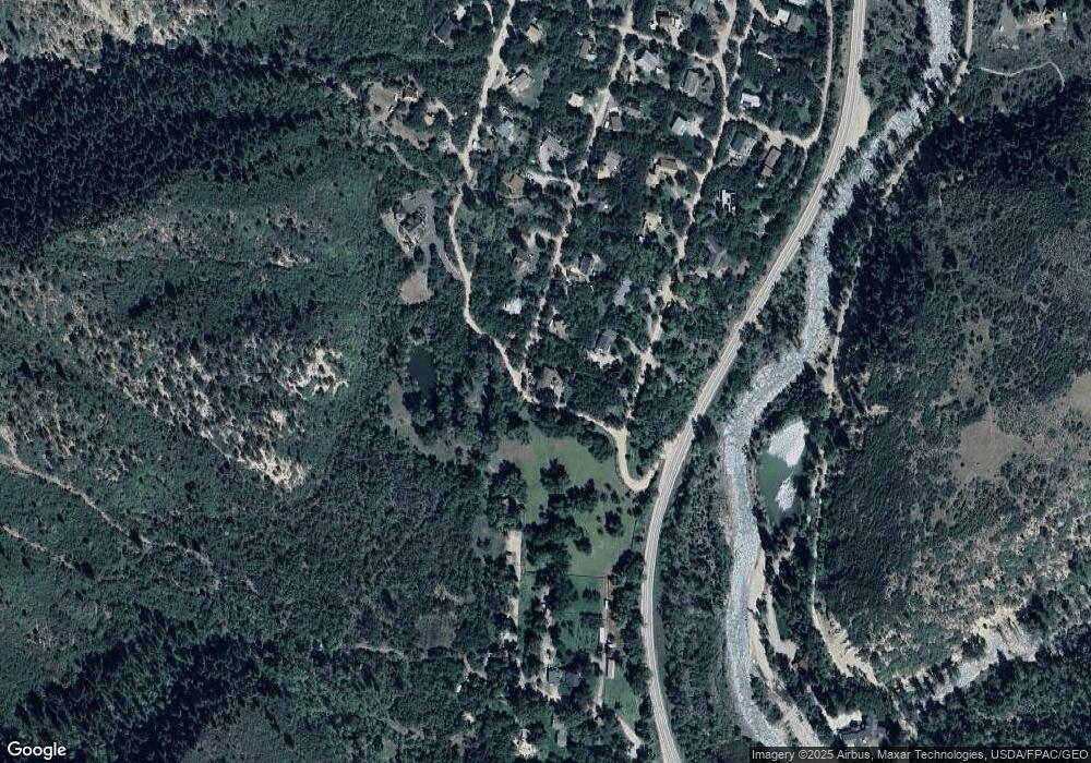
13 Apache Trail Carbondale, CO 81623
Estimated Value: $935,178 - $1,204,000
3
Beds
2
Baths
1,692
Sq Ft
$616/Sq Ft
Est. Value
About This Home
This home is located at 13 Apache Trail, Carbondale, CO 81623 and is currently estimated at $1,042,545, approximately $616 per square foot. 13 Apache Trail is a home located in Pitkin County.
Ownership History
Date
Name
Owned For
Owner Type
Purchase Details
Closed on
Aug 30, 2002
Sold by
Wells Fargo Bank West Na
Bought by
Diaz Marco A and Diaz Troyanne M
Current Estimated Value
Home Financials for this Owner
Home Financials are based on the most recent Mortgage that was taken out on this home.
Original Mortgage
$192,000
Outstanding Balance
$80,732
Interest Rate
6.33%
Estimated Equity
$961,813
Purchase Details
Closed on
Jan 20, 2002
Sold by
Graham Cynthia S and Graham Stephen L
Bought by
Wells Fargo Bank West Na
Create a Home Valuation Report for This Property
The Home Valuation Report is an in-depth analysis detailing your home's value as well as a comparison with similar homes in the area
Home Values in the Area
Average Home Value in this Area
Purchase History
| Date | Buyer | Sale Price | Title Company |
|---|---|---|---|
| Diaz Marco A | $240,000 | -- | |
| Wells Fargo Bank West Na | -- | -- |
Source: Public Records
Mortgage History
| Date | Status | Borrower | Loan Amount |
|---|---|---|---|
| Open | Diaz Marco A | $192,000 |
Source: Public Records
Tax History Compared to Growth
Tax History
| Year | Tax Paid | Tax Assessment Tax Assessment Total Assessment is a certain percentage of the fair market value that is determined by local assessors to be the total taxable value of land and additions on the property. | Land | Improvement |
|---|---|---|---|---|
| 2024 | $3,534 | $50,410 | $15,610 | $34,800 |
| 2023 | $3,534 | $53,600 | $16,600 | $37,000 |
| 2022 | $2,336 | $30,480 | $13,900 | $16,580 |
| 2021 | $2,358 | $31,360 | $14,300 | $17,060 |
| 2020 | $1,787 | $24,960 | $11,800 | $13,160 |
| 2019 | $1,787 | $24,960 | $11,800 | $13,160 |
| 2018 | $1,850 | $25,140 | $11,880 | $13,260 |
| 2017 | $1,697 | $25,570 | $11,880 | $13,690 |
| 2016 | $1,868 | $27,550 | $12,340 | $15,210 |
| 2015 | $1,893 | $27,550 | $12,340 | $15,210 |
| 2014 | $1,466 | $23,010 | $11,140 | $11,870 |
Source: Public Records
Map
Nearby Homes
- 11283 Highway 133
- 135 Irwin Dr
- 900 Dorais Way
- 250 E Creek Rd
- TBD Coal Creek Rd
- 450 Coal Creek Rd
- 116 S Bill Creek Rd
- TBD Elk Mountain Dr
- 389 Elk Mountain Dr
- 251 Chair Mountain Dr
- 175 Bison Ln
- 175 Big Horn Ln
- 315 Forest Service Rd
- 1625 Prince Creek Rd
- 6889 Capitol Creek Rd
- 1634 Prince Creek Rd
- 1644 Prince Creek Rd
- 6855 Capitol Creek Rd
- 777 Old Herron Rd
- 2240 Old Herron Rd
- 26 Apache Trail
- 105 Ute Trail
- 35 Apache Trail
- 35 Apache Trail
- 127 Ute Trail
- 80 Apache Trail
- 77 Apache Trail
- 135 Ute Trail
- 114 Apache Trail
- 103 Apache Trail
- 134 Ute Trail
- TBD Ute Trail
- 138 Apache Trail
- 125 Apache Trail
- 166 Ute Trail
- 160 Cherokee Ln
- 17 Shoshone Trail
- 158 Apache Trail
- 211 Ute Trail
- 157 Apache Trail
